
















NASA Sniffs Out Western Snowpack

Every winter, water managers in the West plunge metal tubes into high mountain snow, tracking its depth in order to predict how much water thirsty residents, farmers and power companies will get after the spring thaw.
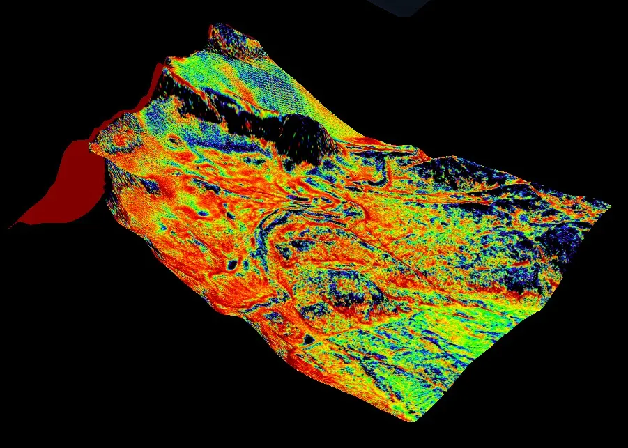
The sampling system leaves large room for error, scientists admit. So, this year, in California and Colorado, the snowpack tests went high-tech. NASA gauged the snowpack with a plane-mounted device, called the Airborne Snow Observatory, which created detailed maps of snow depth and predicted melt.
The observatory relies on lidar, a scanning laser tool, to measure the snow's surface. Researchers then compare the data with previously measured topography of bare rock, in order to get the snow's depth. A spectrometer senses albedo, the amount of sunlight the snow reflects, to figure out how fast it will melt.
"The Airborne Snow Observatory is providing California water managers the first near-real-time, comprehensive determination of basinwide snow water equivalent," Frank Gehrke, mission co-investigator and chief of the California Cooperative Snow Surveys Program for the California Department of Water Resources, said in a NASA statement. "Integrated into models, these data will enhance the state's reservoir operations, permitting more efficient flood control, water-supply management and hydroelectric power generation."
This was the first year of a three-year demonstration mission for the device, which is mounted on a Twin Otter aircraft. This year, the plane flew weekly over California's Tuolumne River Basin watershed, which provides the primary water supply for San Francisco. In Colorado, scientists surveyed the Upper Colorado River watershed, which provides water for much of the western United States and parts of Mexico.
Email Becky Oskin or follow her @beckyoskin. Follow us @OAPlanet, Facebook & Google+. Original article on LiveScience's OurAmazingPlanet.
Get the world’s most fascinating discoveries delivered straight to your inbox.
