


Satellite Traces Path of Sandy’s Massive Rainfall
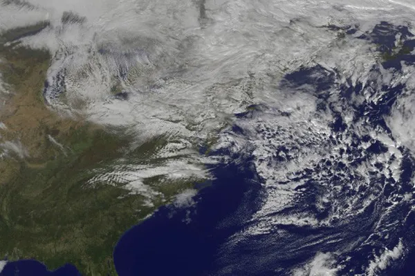
As Hurricane Sandy worked its way through the Caribbean and up along the East Coast of the United States, it dropped significant amounts of rain. A NASA satellite mapped the trail of precipitation.
NASA's Tropical Rainfall Measuring Mission (TRMM) satellite essentially acts as a rain gauge in the sky, according to a NASA release, and the satellite tracked Sandy and its rainfall from the storm's birth on Oct. 21.
Analysis of the rainfall data, done at NASA's Goddard Space Flight Center in Greenbelt, Md., showed that the most precipitation fell out over the open Atlantic Ocean. In some places out to sea, more than 10.2 inches (260 millimeters) of rain came down.
On land, some East Coast locales saw more than 7 inches (180 mm) of rain, with the downpour swelling some rivers and streams. A map of the rainfall amounts shows the hardest-hit spots.
In the Mid-Atlantic and Northeast states where Sandy made landfall, rains were not as significant a contributor to damage or deaths as in Caribbean islands such as Haiti. There, slopes denuded of trees allowed rainwater to rush down and flood lower-lying areas. Along the U.S. coast, storm surge and winds caused most of the damage sustained by New Jersey and New York.
And rain wasn't the only precipitation that Sandy dropped. As it combined with a cold front to form a hybrid nor'easter, the storm blanketed the central Appalachians with snow, dropping more than 2 feet (0.6 meters) in some places.
This story was provided by OurAmazingPlanet, a sister site to LiveScience. Follow OurAmazingPlanet for the latest in Earth science and exploration news on Twitter @OAPlanet. We're also on Facebook & Google+.
Get the world’s most fascinating discoveries delivered straight to your inbox.
