Image Gallery: Streaming Contrails
Get the world’s most fascinating discoveries delivered straight to your inbox.
You are now subscribed
Your newsletter sign-up was successful
Want to add more newsletters?
Join the club
Get full access to premium articles, exclusive features and a growing list of member rewards.
Contrails Forming
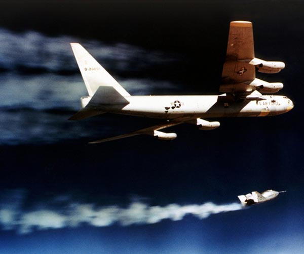
Contrails, or condensation trails, form when the plume of gases and soot emitted by a plane's engine interacts with cold air in the upper atmosphere to form ice particles. Later, the contrail loses its easily recognizable line shape and becomes a wispy cirrus cloud. Here, in a photo taken in 1970, new contrails stream behind the wings of a B-52 bomber and the smaller X-24A plane below it.
Space Shuttle Contrails
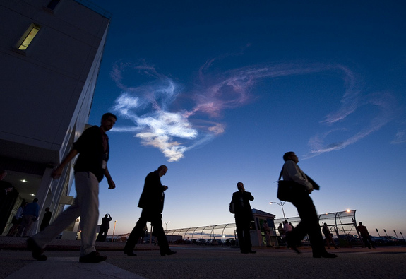
Contrails appear in the sky as workers leave the Launch Control Center after the launch of the space shuttle Discovery in Cape Canaveral, Fla., on Monday April 5, 2010.
Above the Contrails
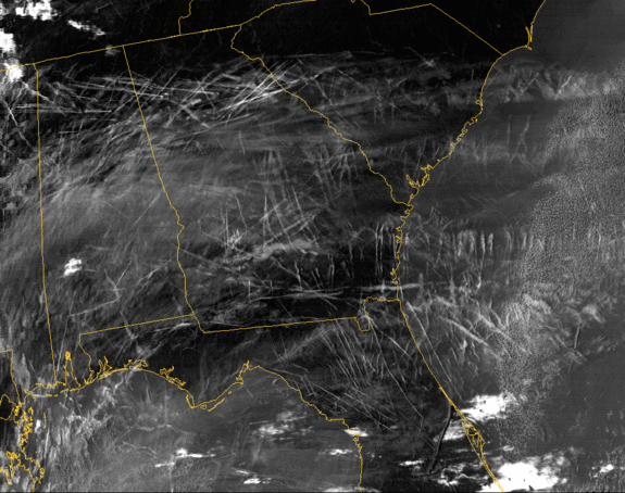
These widespread contrails over the southwestern United States were captured by a satellite on Jan. 29, 2004. The crisscrossing white lines are contrails that form from planes flying in different directions at different altitudes. Each contrail spreads and moves with the wind.
Article continues belowEuropean Contrails
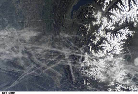
This digital photograph taken through the windows of the International Space Station on May 15, 2002, shows contrails over the Rhône Valley in the region west of Lyon, France. These condensation trails begin as thin lines, then spread, forming cirrus clouds.
A Contrail Sunset
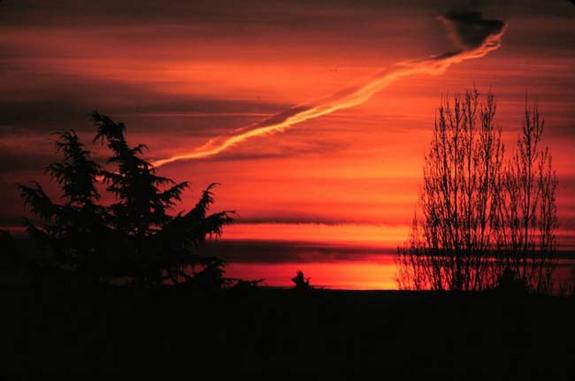
Like natural clouds, contrail cirrus cloud can trap long-wave radiation and so warm the Earth. A new study calculates that they trap more energy than any other aspect of air travel, including carbon dioxide emissions. However, the carbon dioxide remains in the air for much longer.
Airplane Tracks
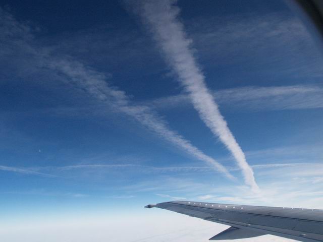
The view from an airplane flying below contrails and above a low-level stratus cloud cover traveling from Frankfurt, Germany, to Lyon, France, on Jan. 7, 2006.
Mountain View
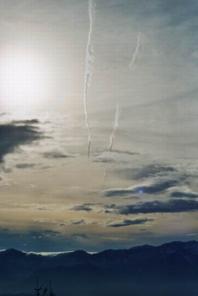
Two contrails streak toward the horizon at Carinthia, Austria, in January 2003. Contrails can last for anywhere from a few hours to days depending on the moisture content of the air.
Get the world’s most fascinating discoveries delivered straight to your inbox.
An Almost Clear Day
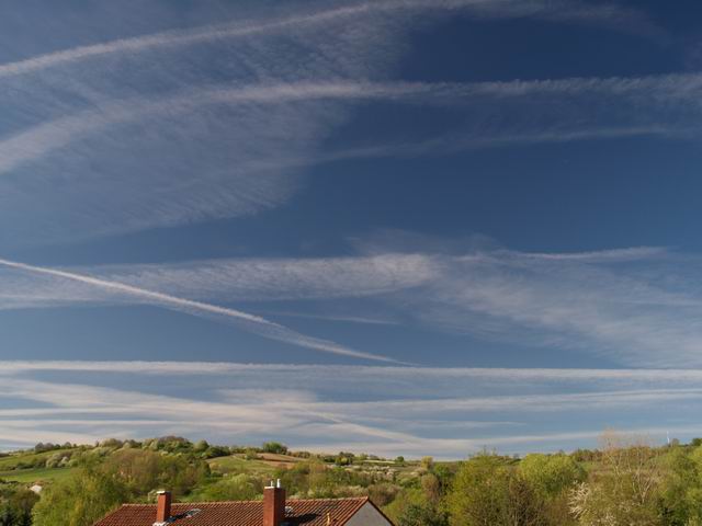
Contrails in the process of losing their distinctive line shape above the roofs of Ingelheim, Germany in 2004.
Reverse Contrail
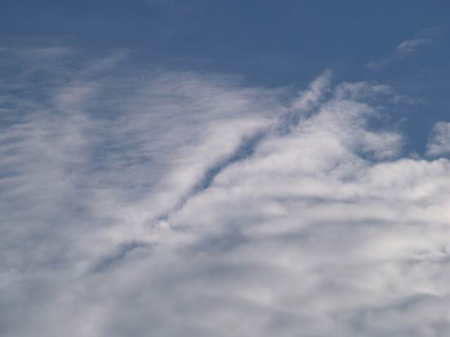
The dry air surrounding an airplane is blown down into a cirrocumulus cloud layer beneath its path, creating a distrail, or opening in the cloud below.
Punching Holes in Clouds
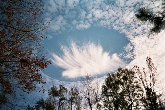
By cutting through clouds, aircraft can accidentally seed clouds by cutting through clouds, causing precipitation under the right conditions. [Read more here]
Ship Trails
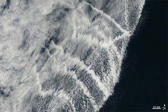
Ships on the ocean leave white trails in the atmosphere that resemble contrails, however, these trails are actually the result of ship exhaust that appears whiter than the surrounding clouds. [Read more here]
 Live Science Plus


