Here's Why This Winter Storm Is So Darn Big
Get the world’s most fascinating discoveries delivered straight to your inbox.
You are now subscribed
Your newsletter sign-up was successful
Want to add more newsletters?
Delivered Daily
Daily Newsletter
Sign up for the latest discoveries, groundbreaking research and fascinating breakthroughs that impact you and the wider world direct to your inbox.
Once a week
Life's Little Mysteries
Feed your curiosity with an exclusive mystery every week, solved with science and delivered direct to your inbox before it's seen anywhere else.
Once a week
How It Works
Sign up to our free science & technology newsletter for your weekly fix of fascinating articles, quick quizzes, amazing images, and more
Delivered daily
Space.com Newsletter
Breaking space news, the latest updates on rocket launches, skywatching events and more!
Once a month
Watch This Space
Sign up to our monthly entertainment newsletter to keep up with all our coverage of the latest sci-fi and space movies, tv shows, games and books.
Once a week
Night Sky This Week
Discover this week's must-see night sky events, moon phases, and stunning astrophotos. Sign up for our skywatching newsletter and explore the universe with us!
Join the club
Get full access to premium articles, exclusive features and a growing list of member rewards.
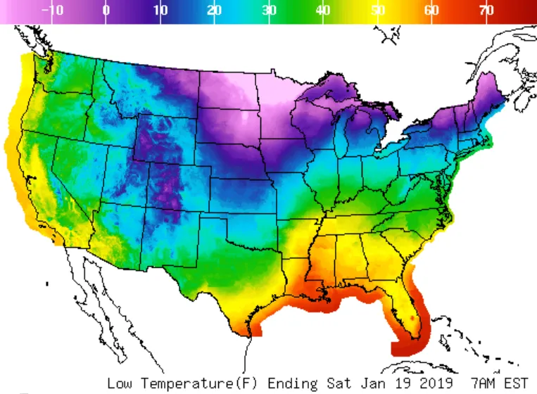
A major snowstorm has begun its trek across the United States, according to The Weather Channel, with significant snowfall already underway in the Dakotas, Minnesota and Iowa. Over the course of the weekend, it's expected to impact much of the Midwest and Northeast, and send rain into the Southeast.
The National Weather Service (NWS), where forecasters are working without pay due to the government shutdown, attributed the large storm to two factors. First, a low-pressure system, the sort of air mass typically responsible for storm activity, has moved over the continent from the Pacific Ocean. After crossing the Rockies (where it already caused some snowfall) it was "re-energized" over the Plains Friday (Jan. 18). At the same time, a "strong surge" of Arctic air (likely from the weakening of the polar vortex) has moved down through Canada and merged with the system, creating a very wide air mass with the capacity to produce lots of snow. [The Snowiest Places on Earth]
"Six to 10 inches of snow [are] forecast for parts of the Midwest, but the highest snow totals are expected for [upstate New York and New England], where 1 to 2 feet of snow [are] forecast," the NWS said.
Some of the most significant problems associated with the storm may fall along the transition zone between snow and rain, where the cold Arctic mass meets the warmer air to the south. In those areas, particularly the Ohio Valley and the mid-Atlantic, strong winds, sleet and freezing rain are all likely, according to the NWS.
New York City is expected to see snow, but details are still uncertain.
After the storm passes, a long period of deep cold is expected, which could pose problems, especially for anyone who loses power during the storm. And there's a real threat of widespread power losses according to The Weather Channel, thanks to the combination of heavy ice accumulation and strong winds.
- Animal Gallery: Fun in the Snow
- Hurricanes from Above: See Nature's Biggest Storms
- Best National Parks to Visit During Winter
Originally published on Live Science.
Get the world’s most fascinating discoveries delivered straight to your inbox.

