Greenland is losing so much ice it's getting taller
The bedrock of Greenland is expanding upward as the land mass sheds ice.

Get the world’s most fascinating discoveries delivered straight to your inbox.
You are now subscribed
Your newsletter sign-up was successful
Want to add more newsletters?

Delivered Daily
Daily Newsletter
Sign up for the latest discoveries, groundbreaking research and fascinating breakthroughs that impact you and the wider world direct to your inbox.

Once a week
Life's Little Mysteries
Feed your curiosity with an exclusive mystery every week, solved with science and delivered direct to your inbox before it's seen anywhere else.

Once a week
How It Works
Sign up to our free science & technology newsletter for your weekly fix of fascinating articles, quick quizzes, amazing images, and more

Delivered daily
Space.com Newsletter
Breaking space news, the latest updates on rocket launches, skywatching events and more!

Once a month
Watch This Space
Sign up to our monthly entertainment newsletter to keep up with all our coverage of the latest sci-fi and space movies, tv shows, games and books.

Once a week
Night Sky This Week
Discover this week's must-see night sky events, moon phases, and stunning astrophotos. Sign up for our skywatching newsletter and explore the universe with us!
Join the club
Get full access to premium articles, exclusive features and a growing list of member rewards.
The flow of glaciers off the edges of Greenland is causing the landmass to rise like a decompressing mattress.
The uplift of Greenland is a long-term and well-known process. Since the end of the last ice age about 11,700 years ago, the retreat of the ice sheet has taken a weight off of Greenland, allowing its bedrock to rise — a process known as glacial isostatic rebound.
On top of this long-running process, Greenland is now losing ice due to modern-day climate change. The Greenland Ice Sheet is shedding approximately 262 gigatons of ice each year. Its peripheral glaciers, the ice rivers found at the coastline flowing into the sea, are losing about 42 gigatons of ice alone, according to 2022 research.
Now, a new study published Jan. 13 in the journal Geophysical Research Letters finds that this glacial ice loss contributes a significant amount to the springing up of Greenland's bedrock. In some areas, the glacial ice loss is responsible for nearly a third of the total vertical land motion.
"The maximum land uplift is where you have the most mass loss, and that's closest to the biggest glaciers in Greenland," said Danjal Longfors Berg, a doctoral student at the Technical University of Denmark.
Related: Massive asteroid hit Greenland when it was a lush rainforest, under-ice crater shows
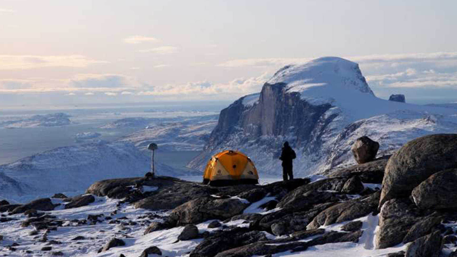
Berg and his team used data from 58 GPS monitors drilled into the bedrock around Greenland to measure vertical motion since 2007. Then, they determined how much of this movement was due to current and recent ice loss and how much was from longer-term rebound.
Get the world’s most fascinating discoveries delivered straight to your inbox.
The results showed that ice loss from glaciers was responsible for large portions of Greenland's rise — 32% and 27.9% of the total rebound in two drainage basins in the northern and eastern parts of the landmass. The largest rate of bedrock rebound was seen near Kangerlussuaq Glacier in southeast Greenland, where the ground is rising at about 0.3 inch (8 millimeters) per year. That glacier has retreated 6.2 miles (10 kilometers) since 1900 and has thinned near its terminus by hundreds of meters.
Having a good grasp on the rise of Greenland's bedrock is a complementary way to measure the region's ice loss, Berg told Live Science. Other ways of quantifying the shrinking of the Greenland Ice Sheet include measurements of altimetry, or the height of the ground, and gravity, variations of which can be measured by satellite. Together with vertical land motion, these multiple techniques can lead to precise measurements of how much ice is disappearing, Berg said.
"When we estimate how much mass it's losing," he said, "then we can give a better estimate of how much the sea level is rising."

Stephanie Pappas is a contributing writer for Live Science, covering topics ranging from geoscience to archaeology to the human brain and behavior. She was previously a senior writer for Live Science but is now a freelancer based in Denver, Colorado, and regularly contributes to Scientific American and The Monitor, the monthly magazine of the American Psychological Association. Stephanie received a bachelor's degree in psychology from the University of South Carolina and a graduate certificate in science communication from the University of California, Santa Cruz.
 Live Science Plus


