
 Live Science Plus


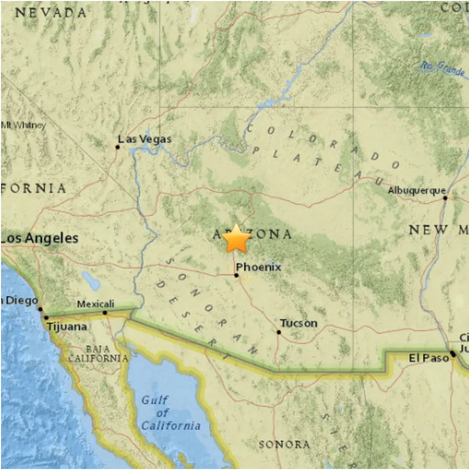
Rare Earthquake Trio Shakes Phoenix: What Happened?

A rare trio of earthquakes shook central Arizona Sunday (Nov. 1), startling residents in Phoenix and the surrounding areas.
The largest quake was a magnitude-4.1 temblor, which hit at 11:29 p.m. local time. It was preceded by a magnitude-3.2 foreshock at 8:59 p.m. and was followed by a magnitude-4.0 aftershock at 11:49 p.m. Smaller aftershocks may follow, said Ryan Porter, a seismologist at Northern Arizona University.
Earthquakes are "pretty uncommon for Arizona," Porter told Live Science. "So it's not unexpected, but it's not a very common event."

This does not mean Arizona is seismically inactive. In fact, geophysicists have recorded hundreds of quakes each year in the state, though most are too small to be felt by humans. Particularly active is the Northern Arizona Seismic Belt in the north central part of the state, which is part of the wider Intermountain Seismic Belt of Nevada, Utah, New Mexico and southeastern California. Central Arizona is seismically quieter, however.
Researchers haven't yet fully analyzed Sunday's quakes, which occurred between the depths of 3.1 miles and 5.9 miles (5 and 9.5 kilometers), near Black Canyon City. However, it's likely that the quakes occurred as a result of extensional forces pulling the crust apart in the area, Porter said. [The 10 Biggest Earthquakes in History]
Arizona's seismic profile is split into three parts, according to the Arizona Geological Survey. In the northeast corner, east of the seismic belt, is the Colorado Plateau, a tectonically stable island in the crust that also covers parts of Colorado, Utah and New Mexico. The southern part of the state is the "basin and range" region, a landscape that alternates mountain ranges with basins or valleys. The topography of this region forms when the crust pulls apart, creating faults. On one side of the faults, the uplift of the crust forms abrupt, steep mountains; on the other side, the dropping of the crust creates flat basins.
Between these two regions is the transition zone, a rugged geological gray area that slices from the northwestern corner of Arizona through the central part of the state, running between Flagstaff and Phoenix, and finally to the eastern border of the state. This transition zone marks the change from the stable, tectonically quiet Colorado Plateau to the stretched-apart basin and range geology to the south.
Get the world’s most fascinating discoveries delivered straight to your inbox.
Sunday's quakes were "in that transition zone between the relatively undeformed Colorado Plateau and the highly extended basin and range to the south," Porter said. In that transition zone, some of the same forces that pull apart the crust in southern Arizona are at play.
No one has mapped the area of the fault that slipped, called a focal mechanism, during Sunday night's quakes, Porter said. The U.S. Geological Survey (USGS) will likely release that information within days. However, a blog post by Arizona State University geology professor J. Ramón Arrowsmith noted that, just east of Black Canyon City, several active faults that run north to south have been mapped. The three latest quakes were lined up in a row running north to south, consistent with the patterns seen to the east.
Most people who felt the quake reported light or weak shaking. According to the USGS, more than 4.6 million people live in the areas where shaking was reported.
A magnitude-4.1 quake produces only minor damage, but faults in the transition zone are capable of producing temblors of up to a magnitude 7, according to the Arizona Geological Survey. The largest quake on record in Arizona was significantly smaller than that, however. That record holder, a magnitude 5.6, struck in July 1959 and shook items off of shelves in homes and stores in Fredonia, Arizona, where residents also reported damage to walls and chimneys. The shaking from that quake may also have caused a rockslide at Mather Point in the Grand Canyon, which is now one of the major visitor hubs in Grand Canyon National Park.
The Arizona Geological Survey recommends that residents be earthquake-ready by securing heavy objects on shelves and walls, and evaluating heavy appliances like water heaters and refrigerators for safety in the event of a quake. During a quake, the safest thing to do is "drop, cover and hold on," preferably under a sturdy table or desk. More information on earthquake readiness is available in a 2012 pamphlet published by the Arizona Geological Survey.
"Earthquakes do happen in Arizona," Porter said. "You should always be prepared, but it's not something to be panicked over."
Follow Stephanie Pappas on Twitter and Google+. Follow us @livescience, Facebook & Google+. Original article on Live Science.

Stephanie Pappas is a contributing writer for Live Science, covering topics ranging from geoscience to archaeology to the human brain and behavior. She was previously a senior writer for Live Science but is now a freelancer based in Denver, Colorado, and regularly contributes to Scientific American and The Monitor, the monthly magazine of the American Psychological Association. Stephanie received a bachelor's degree in psychology from the University of South Carolina and a graduate certificate in science communication from the University of California, Santa Cruz.