Explore the World's Coral Reefs with Google Street View

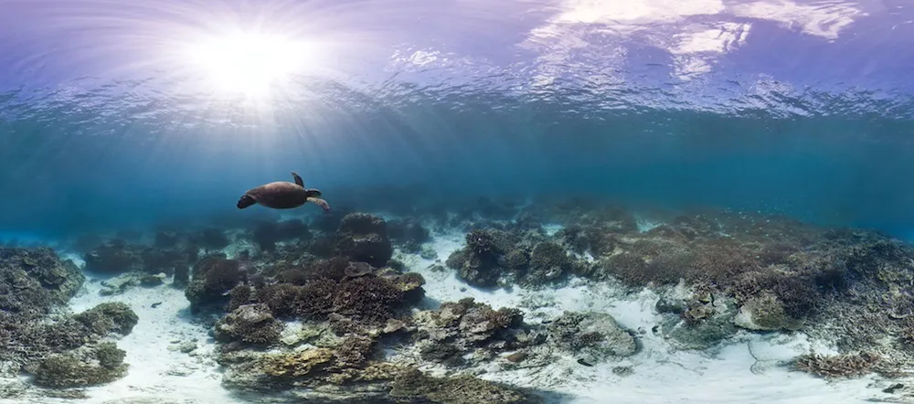
With a mouse click, viewers anywhere can be transported to the serene underwater world of the Great Barrier Reef.
Google Street View has partnered with scientists to create 360-degree panoramas of the world's coral reefs, called Google Street View Oceans. New ocean sites continue to be added to the project, which was released in 2012. The science team hopes to develop a rigorous system for monitoring the coral's health while giving the public a chance to explore these beautiful but vulnerable ecosystems.
"Coral reefs are some of the most endangered ecosystems on the planet," said Ove Hoegh-Guldberg, a reef scientist at the University of Queensland, Australia, who is leading the research in collaboration with the Catlin Seaview Survey. "I realized that if we formed a partnership, we could start to look at those images and understand why coral reefs are going downhill." [Photos: Underwater Google Street View Reveals Stunning Corals]
Using a human-driven, underwater scooter equipped with a set of sophisticated cameras, the team snaps photos of the reefs and stitches them together into panoramas.
Next, the team uses advanced image-recognition software to monitor the coral and other sea creatures within these images. The same technology that allows computers to pick a face out of a photo of a crowd can be applied to coral and other reef organisms, Hoegh-Guldberg told LiveScience. The team will present its research at an international ecology meeting in London this week.
The team has already explored the Great Barrier Reef and is currently surveying the Caribbean. "The Caribbean is in a very poor state," Hoegh-Guldberg said, adding that coral cover in the region has declined from more than 50 percent in the 1970s to less than 5 percent now.
The causes of coral decline are complex. Climate change is warming and acidifying the oceans, threatening the health of the organisms that support reef ecosystems. As carbon dioxide enters the oceans, it produces acid that dissolves the minerals corals use to grow.
Get the world’s most fascinating discoveries delivered straight to your inbox.
Coastal development presents other problems. Deforestation allows more nutrients and sediment to run off into the ocean, damaging reefs. And overfishing is stripping the reefs of the fish that keep harmful algae growth in check.
"Fish are not just there for enjoyment and to be eaten,"Hoegh-Guldberg said. "They act as gardeners."
But most people probably don't know what's being lost: Less than 1 percent of humans have ever dived on a coral reef, Hoegh-Guldberg said.
With this new project, reef worlds that were once the province of the few are now accessible to anyone with an Internet connection. In fact, regular people will be able to aid scientists in their efforts to monitor these ecosystems. For example, a young student interested in turtles could count the turtles in the images.
Next year, Hoegh-Guldberg and his team plan to map the Coral Triangle in Southeast Asia, a major center of biodiversity. "It's a very valuable part of the ocean, but it's also under extreme pressure," Hoegh-Guldberg said.
Follow Tanya Lewis on Twitter and Google+. Follow us @livescience, Facebook & Google+. Original article on LiveScience.
