It's quick and easy to access Live Science Plus, simply enter your email below. We'll send you a confirmation and sign you up for our daily newsletter, keeping you up to date with the latest science news.
Winds over 50 mph created snow drifts as high as 9 feet, while portions of I-25 and I-80 were shut down.
Rapid City Airport, S.D., recorded its snowiest single day of all time on Tuesday with a total of 20.0 inches.
Sign up for the Live Science daily newsletter now
Get the world’s most fascinating discoveries delivered straight to your inbox.
Snowfall Totals as of 8:30 a.m. EDT Wednesday
Swipe to scroll horizontally
Location
Snowfall Total
Harrison, Neb.
24.0 inches
Bridgeport, Neb.
15.0 inches
Lance Creek, Wyo.
12.0 inches
Pine Bluffs, Wyo.
11.0 inches
Near Buena Vista, Colo.
8.5 inches
Chatfield Reservoir, Colo.
7.3 inches
Pierre, S.D.
*5.8 inches
Aurora, Colo.
5.7 inches
* denotes a record daily snowfall was set on Tuesday
There was a total of 44 record daily snowfall amounts set in the U.S. on Tuesday, according to the National Climatic Data Center (NCDC).
On Tuesday, temperature differences across the Plains were more than 90 degrees. Highs ranged from 12 degrees in Cheyenne, Wyo., to 108 degrees in Laredo, Texas.
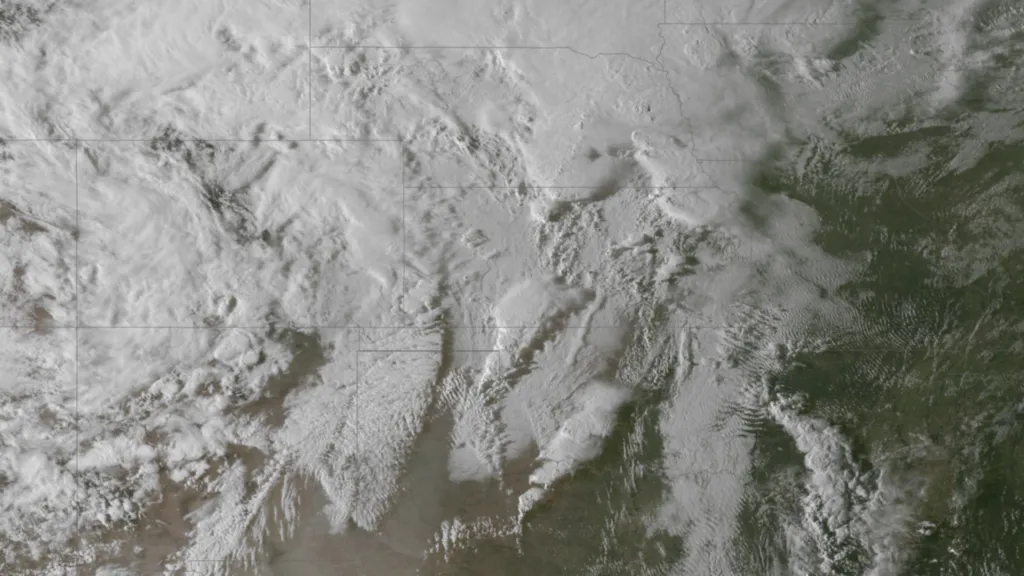
This NCDC map shows the location of where record snow amounts were set on Tuesday, April 9, 2013.
(Image credit: NCDC.)
The violent clash of air masses helped to set up the battlegrounds for severe storms from Texas to Iowa. The strongest storms produced hail up to 2.00 inches in diameter and wind gusts higher than 65 mph.
Farther south, temperatures soared then crashed across portions of Oklahoma and Texas. The colder air arrived as winds switched out of the north.
"It's really unusual to have this magnitude of arctic air drive this far south in the Plains this time of year. It's a sign of how amplified the weather pattern is in the U.S.," AccuWeather Expert Senior Meteorologist Alex Sosnowski said.
Stat Highlight: Abilene, Texas, climbed as high as 93 degrees on Tuesday evening. Temperatures dropped drastically into the night, reaching the 30s after midnight as snow arrived. Snow and freezing rain fell throughout the night.
While the high reached 79 degrees in Oklahoma City, temperatures dropped into the lower 30s overnight. Heavy thunderstorms this morning changed over to freezing rain with thunder.
"There may be a similar storm next week, but without the same magnitude of arctic air," Sosnowski said.
With much of the country experiencing an unseasonably warm winter, fears of climate change come to mind. See how well you understand recent weather, climate and the difference between them.

 Live Science Plus