


Atmospheric Road Block Sets Stage for More Big US Snowstorms
This article was provided by AccuWeather.com.
Recent blockbuster snowstorms in the U.S. have many people asking when winter will loosen its grip, and the answer is not likely any time soon.
An active storm pattern may stay put in the U.S. for at least a few more weeks.

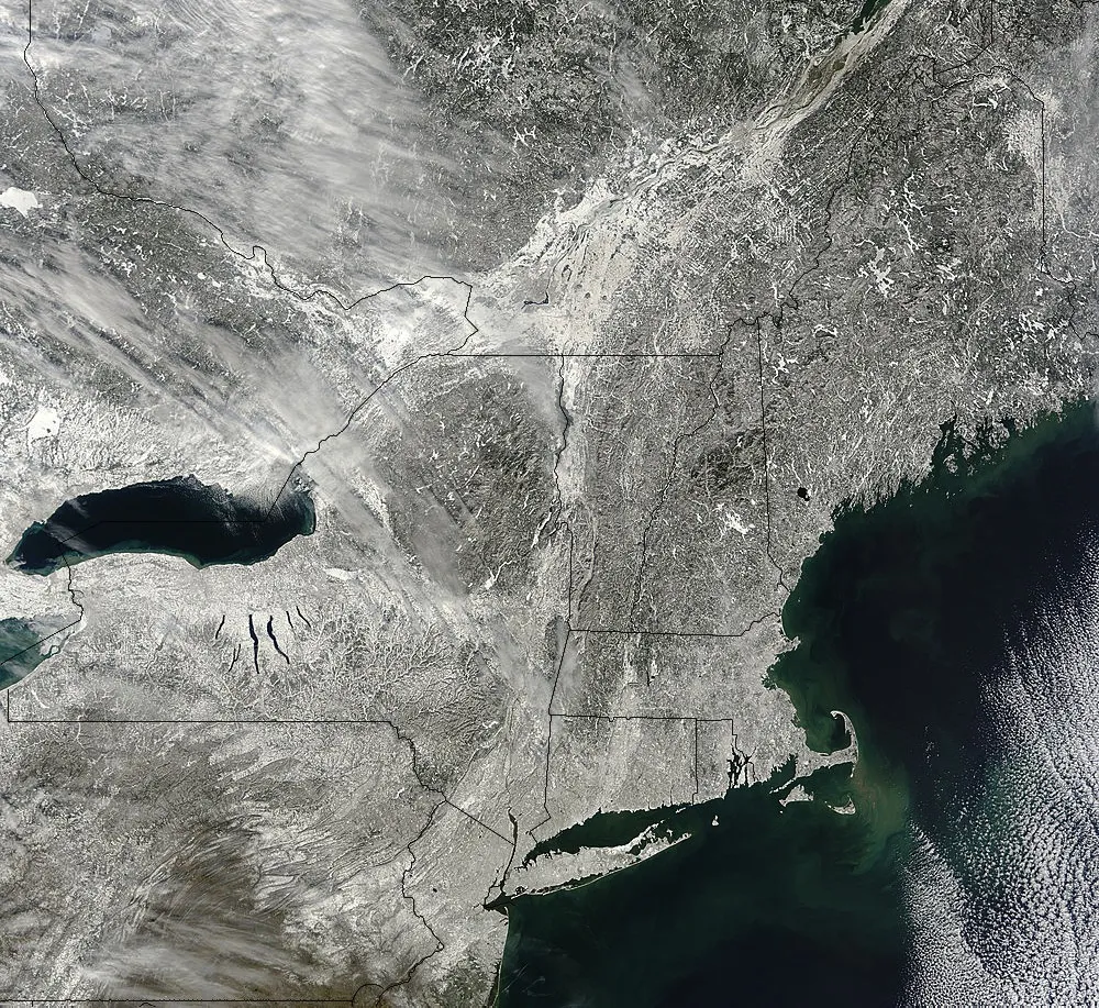
Recent Major Storms New England has been walloped by three snowstorms in as many weeks, and two back-to-back blizzards have shut down travel in the Plains.
Meteorologists are referring to the recent snowstorms as "over-achievers."
A major nor'easter buried Boston with 24.9 inches of snow from Feb. 8-9, 2013. Another storm delivered 5.2 inches of snow on Feb. 16-17, 2013. Boston's total February snow so far adds up to 34.0 inches, more than three times the normal monthly snowfall of 10.9 inches.
The snow total in New York City is 12.2 inches so far this February, and that is higher than the normal monthly snow of 8.8 inches. New York City got 11.4 inches of snow from the Feb. 8-9, 2013, nor'easter, resulting in travel nightmares.
Get the world’s most fascinating discoveries delivered straight to your inbox.
The second biggest snowstorm on record in Wichita, Kan., occurred on Feb. 20-21, 2013, with a total of 14.2 inches of snow. Yet another storm unleashed around 5.0 inches of snow on Feb. 25-26, 2013. The February snow total in Wichita so far is more than six times the normal monthly snow of 3.2 inches.
Kansas City International Airport was entirely shut down during the blizzard on Feb. 21, 2013. The total of 11.0 inches of snow from that storm contributed to the February total of 16.3 inches. That is more than five times the city's normal monthly snow.
A major contributing factor to the major winter storms in the U.S. is blocking in the atmosphere.

Blocking occurs when warm air masses associated with large areas of high pressure become anchored across Greenland or eastern Canada. Cold arctic air is forced southward into the U.S. in this pattern. Storms across the U.S. can also be blocked from moving along quickly, causing them to slow and have more impact.
AccuWeather Chief Forecaster Elliot Abrams explained how blocking is like an accident on a busy highway.
"You're on a highway, and there is crash up ahead. Traffic is blocked from moving ahead until the crash is cleared up," Abrams said. Atmospheric blocking acts in the same way to slow down storms in the U.S. or even to cause them to stall completely. A blocking pattern can allow storms to drop very heavy snow amounts in the winter.
Active Storm Parade to Continue "Blocking will stick around through March, and the stormy pattern will last through as least the first two weeks of March," AccuWeather Lead Long-Range Forecaster Paul Pastelok said.
This means that more storms will have the potential to slow down and produce heavy snow.
The Ohio and Tennessee valleys to the East will lie in the active storm path, receiving rounds of snow and rain through the first half of March.
© AccuWeather.com. All rights reserved. More from AccuWeather.com.
With much of the country experiencing an unseasonably warm winter, fears of climate change come to mind. See how well you understand recent weather, climate and the difference between them.
Weather vs. Climate Change: Test Yourself
