It's quick and easy to access Live Science Plus, simply enter your email below. We'll send you a confirmation and sign you up for our daily newsletter, keeping you up to date with the latest science news.
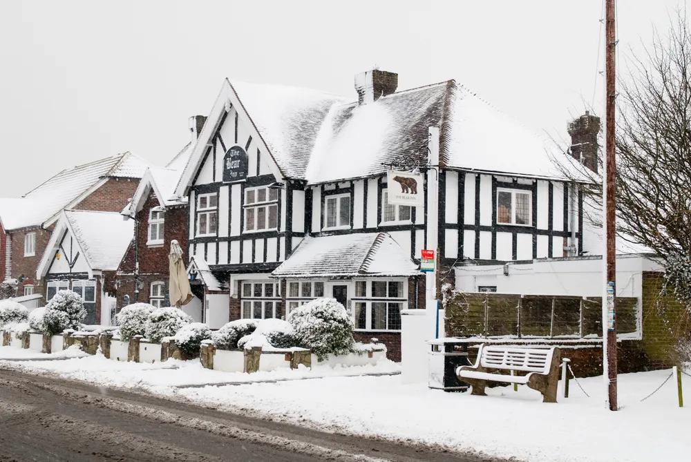
Many schools were closed on Monday due to the snow accumulation and icy conditions, according to the BBC News website. Some flights were canceled or delayed at the London Heathrow Airport.
Below-normal temperatures will occupy the U.K. until Friday with the average daily highs reaching 3 to 5 degrees C below normal, or 5-9 degrees F below normal, according to AccuWeather Senior Meteorologist Jim Andrews.
According to Andrews, the U.K. usually gets winds that blow west to east and allow warm air to flow off the Atlantic Ocean.
"This system has brought cold air from the north and east and shifted the normal storm track,"he said.
Sign up for the Live Science daily newsletter now
Get the world’s most fascinating discoveries delivered straight to your inbox.
As of Monday afternoon, the highest snow depth was 29 cm (about 11 inches) recorded at Redesdale Camp, Scotland, and in some parts of northern Europe.
Colder air and lower temperatures are expected to stick around until Friday. On Saturday and Sunday, warmer air will provide precipitation to change over from snow to rain in most areas, according to Andrews.
The weather is getting stranger, right? Well, for the most part no, scientists say, but humans often think so when a strange event does occur. So here’s your chance to prove how much you known about weather oddities.

 Live Science Plus