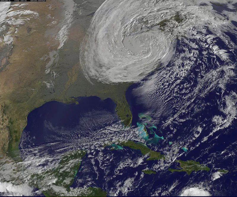
In the wake of Hurricane Sandy, researchers in California are grappling with their own questions about increasingly extreme weather.
The Pacific Ocean isn't warm enough to produce a superstorm like Sandy on the West Coast, researchers say, but climate change could give rise to more frequent severe storms in the region.
"We can see very big storms, and there are a couple of issues related to climate change to think about," said Roger Bales, director of the Sierra Nevada Research Institute (SNRI) at the University of California, Merced. Winter snowstorms, for example, help build up the snowpack in the mountains, which the state depends on for its year-round water supply.
Latest Videos From
"But if you warm the climate, those storms become rain events — there's more immediate runoff, less water storage, and the rain will actually melt some of the existing snowpack," Bales said.
The state already sees a handful of major snowstorms over California's mountains each winter. A series of such storms, however, could unleash destructive flooding and landslides in the state.
"It's not uncommon during the winter, at least once, that we will see storms coming off the Pacific and drop more than 100 inches of snow in the mountains over short durations," Robert Rice, a researcher with SNRI, said in a statement Thursday (Nov. 1). "That could translate into 10 inches of precipitable water — numbers similar to what they're measuring in Hurricane Sandy."
Scientists are also concerned with "atmospheric rivers" like the so-called Pineapple Express, which drives moisture across from Hawaii to the West Coast and can produce severe, localized damage.
"We have very large storms that cross into California and affect our region — not with the same widespread damage as Hurricane Sandy, but with water and wind that are comparable to hurricanes and tornados," Rice said.
The SNRI researchers have advocated for a monitoring system to observe snowpack statewide, which they say would help control California's water resources more efficiently.
Follow LiveScience on Twitter @livescience. We're also on Facebook & Google+.

 Live Science Plus