
 Live Science Plus


Sandy Speeds Up, Risk of Deadly Winds Increases Onshore

published
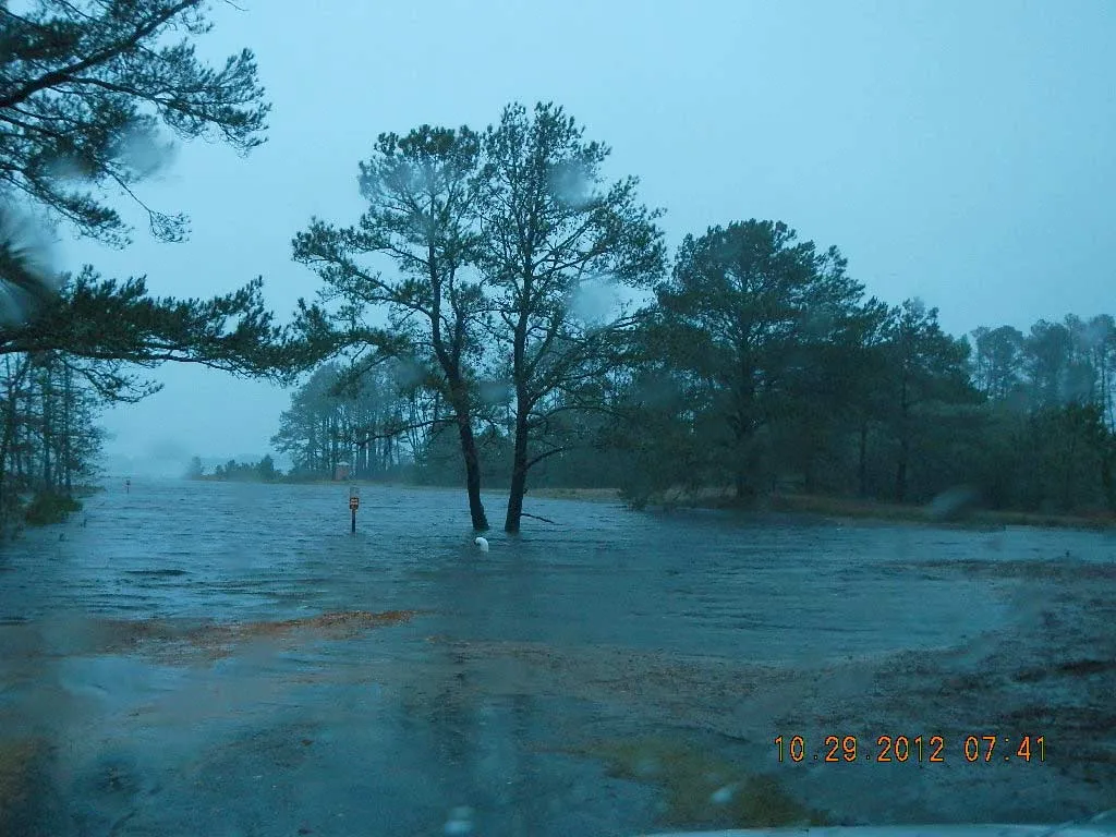
The storm surge from Hurricane Sandy leaves much of Chincoteague National Wildlife Refuge in Maryland under water, including this boat ramp along the Assateague Channel, on Monday, Oct. 29, 2012.
(Image credit: J. Fair/USFWS)
Hurricane Sandy is expected to make landfall hours earlier than previously expected, likely reaching the coast of southern New Jersey or central Delaware early this evening.
According to the National Weather Service, Sandy is racing toward the coast at 28 miles per hour (44 kilometers per hour). The storm is blowing with maximum sustained winds of 90 mph (150 kph). Landfall is now estimated at between 6 p.m. and 7 p.m. EDT, hours earlier than previous forecasts of midnight or so.

TOPICS
