
White River Badlands: A Window into History
White River
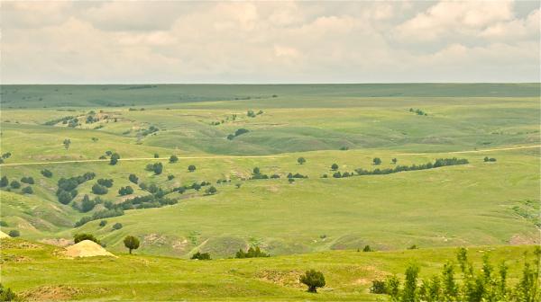
The Great Plains are a vast expanse of grass-covered lands found in the central region of North America. They extend over 500,000 square miles (1,300,000 square kilometers) across the states of Colorado, Kansas, Oklahoma, Wyoming, Nebraska, Montana, North Dakota, South Dakota, Texas and New Mexico, as well as the Canadian provinces of Alberta, Manitoba and Saskatchewan. Prior to the 20th century, the region was known as the "High Plains," to differentiate the zone from the "Low Plains" of the Midwest states that are found east of the Mississippi River.
White River

Some 144 million to 65 million years ago, during the Cretaceous Period, the majority of this land was covered by a shallow, temperate sea known as the Western Interior Seaway that effectively split the North American continent in half. The warm sea teemed with life, while many species of animals, mostly mammals, roamed the floodplains. When the primeval sea began to recede some 60 million years ago, it left behind a thick marine deposit inter-mixed with volcanic ash. Over the eons, the clay, sand, silt and ash built up layer upon vertical layer of soil thousands of feet deep.
White River
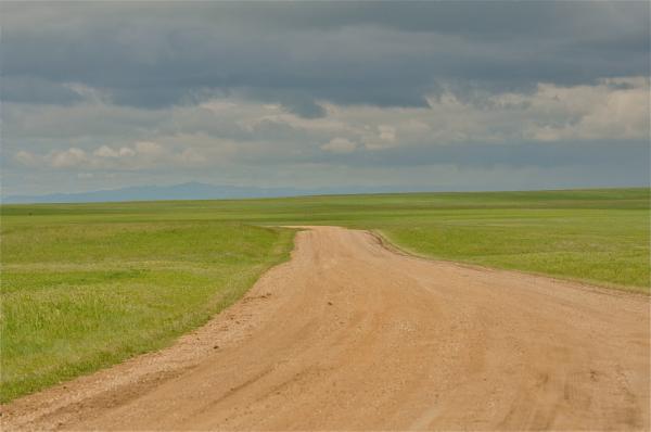
In a small region of this vast land, located in southwestern South Dakota and within the White River drainage system, the forces of erosion have long been at work and created perhaps the most scenic geological and landscape features found anywhere in the Great Plains. From the grass-covered plains suddenly arise an exposed region of ancient sedimentary strata known as the "badlands."
White River
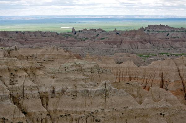
The term "badlands" has come to describe any area on Earth where soft, sedimentary soil is found in combination with intense rain showers and sparse vegetation. This recipe for colossal erosion creates landscapes of steep slopes, canyons , ravines and gullies that once blocked the movement of people and herds of grazing animals. These badland areas also tend to be a treasure trove of fossils.
White River
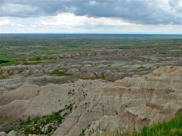
The indigenous Lakota people called this part of their ancestral home "Makhosica," which translates literally to mean "bad land." Beginning on the eastern slopes of the Black Hills, the most spectacular acreage of this rugged land was first protected in 1939 as a national monument. In 1978 the Badlands National Park was created, protecting over 244,000 acres of "bad land" from further development or incursion.
White River
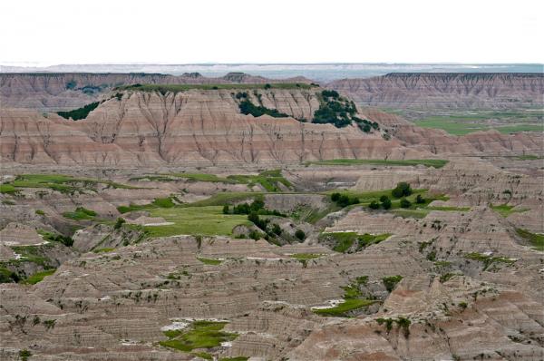
The White River Badlands of South Dakota are not only spectacular in their weathered appearance but are equally important to the world of paleontology. Here, ancient horizontal strata lie exposed and the same individual beds of sedimentary rock can be traced from mound to mound, pinnacle to pinnacle, across wide ravines. Viewed in aerial photographs, the bands of colorful sediment look like contour lines on a topographical map.
White River
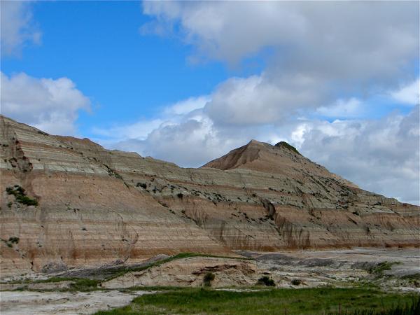
In the Badlands today, evidence of the ancient Western Interior Seaway appears as a band of grayish-black sedimentary rock. Known as Pierre shale, this layer of rock is a remarkable treasure of Cretaceous Period fossils. Within this layer of marine mud rocks, deposited some 75 million years ago, have been discovered a wide variety of ammonites and mosassaurs, large extinct marine lizards. [T-Rex of the Seas: A Mosasaur Gallery]
Get the world’s most fascinating discoveries delivered straight to your inbox.
White River
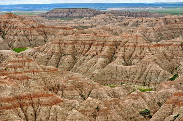
Within the upper bands of strata are found one of the world's richest vertebrate fossil beds. Created during the Oligocene epoch some 40 million to 25 million years ago, these fossil beds represent only a short period of Earth's history. The ancient mammals, including the saber-toothed tiger, the three-toed horse, camels, several species of rhinoceros and mammoths, roamed the lush river valleys, often dying in tremendous floods after which they were quickly buried. Conditions then were ideal here for preservation in the deep river sediment and over a long period of time the remains of these creatures became fossils.
White River
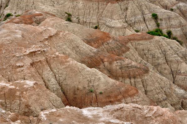
About 5 million years ago, this region began a gentle uplift, resulting in the raising and drying of the land. With the uplifting came the forces of erosion wind and rain, freezing and thawing that began to sculpt the landscape seen throughout the White River Badlands today.
White River

Over time the region continued to dry out, creating the semi-arid climate found today. The now sparse, arid vegetation resulted in the rise of a new group of mammals, such as prairie dogs , the American bison, the bighorn sheep and the pronghorn. These animals and more came to this desolate land and thrived in the unique Badlands environment.
White River
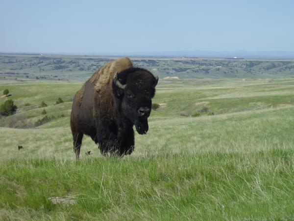
Great herds of the American bison (Bos bison) once roamed the region of the Badlands. They were the dominant grazers in the grassland ecosystem of the Great Plains. By the 1880s the great herds of bison had been slaughtered and had disappeared. After some 80 years of absence the American bison was reintroduced into Badlands National Park in 1963. Today a controlled herd of 600 bison once again roam on 64,000 controlled acres of this grass prairie.
 Live Science Plus


