It's quick and easy to access Live Science Plus, simply enter your email below. We'll send you a confirmation and sign you up for our daily newsletter, keeping you up to date with the latest science news.
Tropical Storm Isaias is forecast to strengthen to a hurricane before it hits the Carolinas this evening.
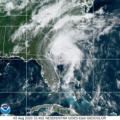
As of 12 p.m. ET today (Aug. 3), Isaias is about 90 miles (145 kilometers) east-southeast of Georgia and blowing with maximum sustained winds of up to 70 mph (110 km/h) winds, which is 4 mph short of being classified as a hurricane, according to a public advisory from The National Hurricane Center and Central Pacific Hurricane Center.
But Isaias is forecast to strengthen this afternoon and will gain hurricane strength just before reaching the coast of northeastern South Carolina or southern North Carolina tonight, according to the advisory. (Isaias continues to go through bursts of strengthening and weakening and had formerly been classified as a hurricane before weakening back into a tropical storm.) A hurricane warning is in effect for the South Santee River in South Carolina to Surf City in North Carolina.
"Only slow weakening" of Isaias is expected after it makes landfall in the Carolinas and moves up the East Coast and mid-Atlantic region tonight and Tuesday (Aug. 4), according to the advisory. A tropical storm warning has been issued along the coast, all the way up to New Hampshire. Tropical storm conditions are also possible along the northern New England coast on Tuesday night and early Wednesday (Aug. 5), according to the National Hurricane Center's forecast discussion.
There could be "life-threatening" storm surges along the Carolina coasts where the hurricane warning is in place. Widespread tropical storm winds up the coast could cause tree damage and power outages; and heavy rainfall could lead to flash flooding and city flooding, according to the NHC.
Isaias is expected to bring about 3 to 6 inches (7 to 15 centimeters) of rainfall to the Carolinas and to the Mid-Atlantic regions, and 2 to 4 inches (5 to 10 cm) to southeast New York and most of New England, according to the advisory.
Sign up for the Live Science daily newsletter now
Get the world’s most fascinating discoveries delivered straight to your inbox.
Yasemin is a staff writer at Live Science, covering health, neuroscience and biology. Her work has appeared in Scientific American, Science and the San Jose Mercury News. She has a bachelor's degree in biomedical engineering from the University of Connecticut and a graduate certificate in science communication from the University of California, Santa Cruz.