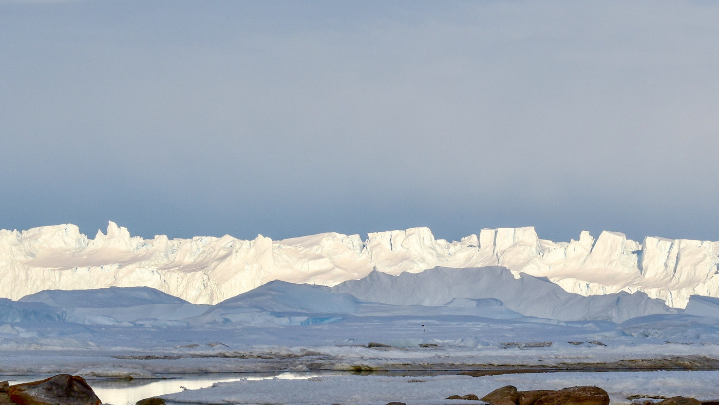
City-size lake found miles below Antarctica's biggest ice sheet
The lake could contain sediments that are more than 34 million years old.

Scientists have discovered a city-size lake hidden deep underneath the world's largest ice sheet, and it could unlock the secrets of the sheet's 34 million-year history.
The hidden lake — which has been named Lake Snow Eagle after one of the Chinese aircraft that discovered it — lies in a mile-deep canyon beneath 2 miles (3.2 kilometers) of ice in the highlands of the Princess Elizabeth Land on the East Antarctic Ice Sheet. The lake has a surface area of 143 square miles (370 square km), making it one of the largest subglacial lakes beneath Antarctica's plentiful ice.
Polar experts discovered the lake following three years of exhaustive aerial surveys over the sheet, which they peered through using radar and special sensors designed to measure minuscule changes in the Earth's gravity and its magnetic field. As the buried lake is located just a few hundred miles from the edge of the ice sheet, scientists believe it could contain 34 million-year-old river sediments older than the ice sheet itself.
Related: Microbes that feast on crushed rocks thrive in Antarctica's ice-covered lakes
If they're right about the ancient sediments and are able to find them, the scientists could discover a treasure trove of information about what Antarctica was like before it froze; how it has been altered by climate change; and what an increasingly warming world means for its future. They published their study May 9 in the journal Geology.
"This lake is likely to have a record of the entire history of the East Antarctic Ice Sheet, its initiation over 34 million years ago, as well as its growth and evolution across glacial cycles since then," co-author Don Blankenship, a senior research scientist at The University of Texas at Austin's Institute for Geophysics, said in a statement. "Our observations also suggest that the ice sheet changed significantly about 10,000 years ago, although we have no idea why."
Scientists got their first clue to the lake's existence after spotting a smooth depression in satellite images taken of the ice sheet. Suspecting that something might be hiding underneath, the researchers mounted airplanes with ice-penetrating radar equipment and flew them over the sheet, scanning as they went. Because water (unlike ice) reflects radio waves like a mirror, the radar's signal bounced back, confirming the lake's existence.
Get the world’s most fascinating discoveries delivered straight to your inbox.
"I literally jumped when I first saw that bright radar reflection," lead author Shuai Yan, a graduate student at UT Austin's Institute for Geophysics and a flight planner for the lake investigation, said in the statement.
After the researchers' thrilling discovery of the underwater lake, flybys in aircraft equipped with gravimeters and magnetometers measured the subtle changes to the gravitational and magnetic tugs given by the Earth to the planes above, as they flew over different parts of the sheet. This enabled the scientists to painstakingly detail the ice sheet's underlying geometry, revealing a deeply-buried lake that was 30 miles (48 km) long, 9 miles (14.5 km) wide and 650 feet (198 meters) deep. The lake contains roughly 5 cubic miles (21 cubic km) of water and, most probably, a bounty of ancient sediment.
"This lake's been accumulating sediment over a very long time, potentially taking us through the period when Antarctica had no ice at all, to when it went into deep freeze," study co-author Martin Siegert, a glaciologist at Imperial College London in the UK, said in the statement. "We don't have a single record of all those events in one place, but the sediments at the bottom of this lake could be ideal."
The researchers' next step is to get to the sediment, but as it's sealed inside several miles of ice in the coldest region on Earth, getting there will be tricky. The team has suggested that a polar station should first be installed on the ice above the lake, enabling researchers to plan for ways to drill into the thick sheet to retrieve the sediment. What's trapped inside might not only help scientists to understand how a changing climate made the ice sheets, but how human-caused climate change could unmake them.
Originally published on Live Science.

Ben Turner is a U.K. based writer and editor at Live Science. He covers physics and astronomy, tech and climate change. He graduated from University College London with a degree in particle physics before training as a journalist. When he's not writing, Ben enjoys reading literature, playing the guitar and embarrassing himself with chess.
 Live Science Plus


