Under the Greenland Ice Sheet
News
By
Live Science Staff
published
A topographic map of Greenland from bedrock elevation data.
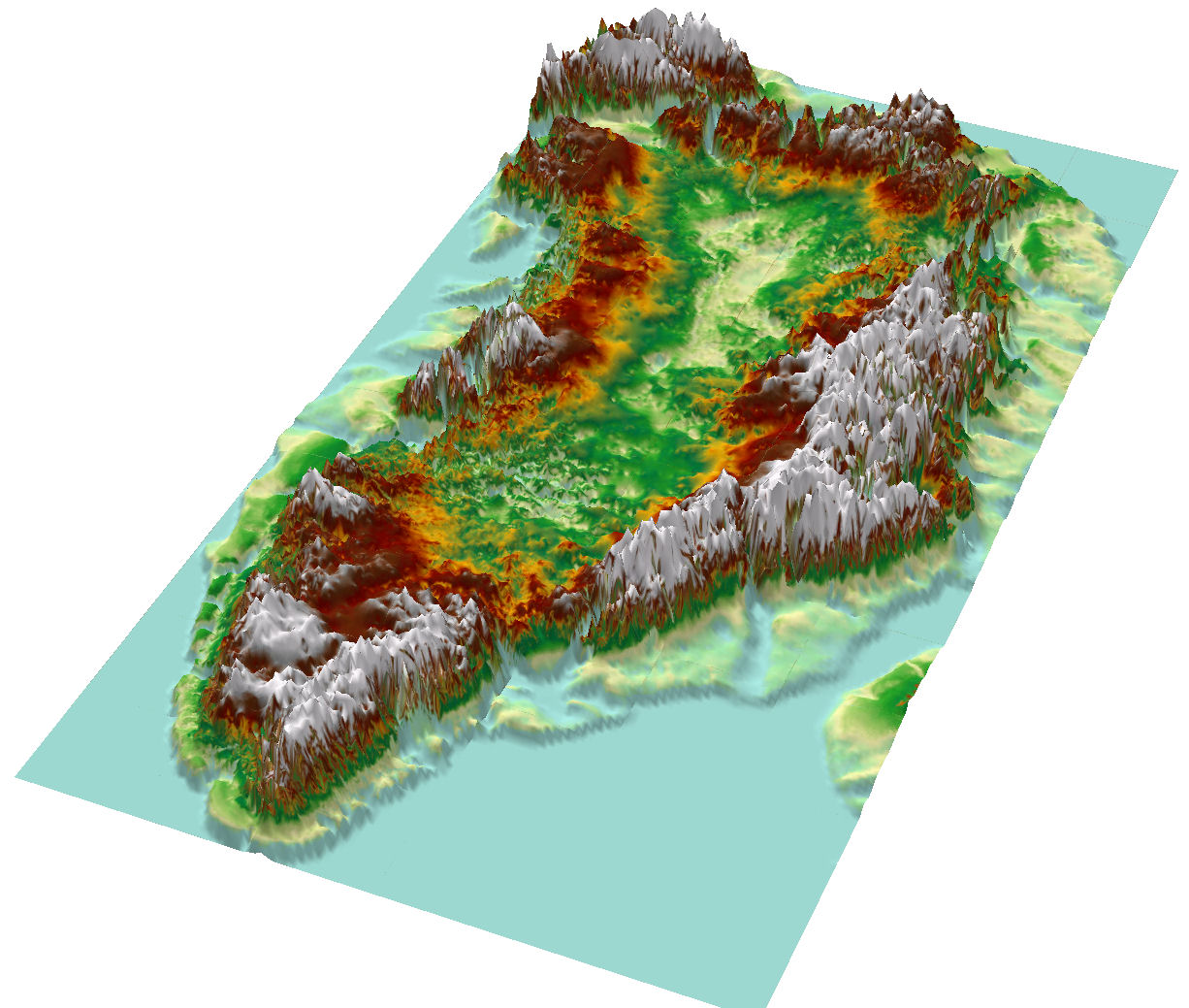
A topographic map of Greenland from bedrock elevation data.
3D view of the subglacial canyon, looking northwest from central Greenland.
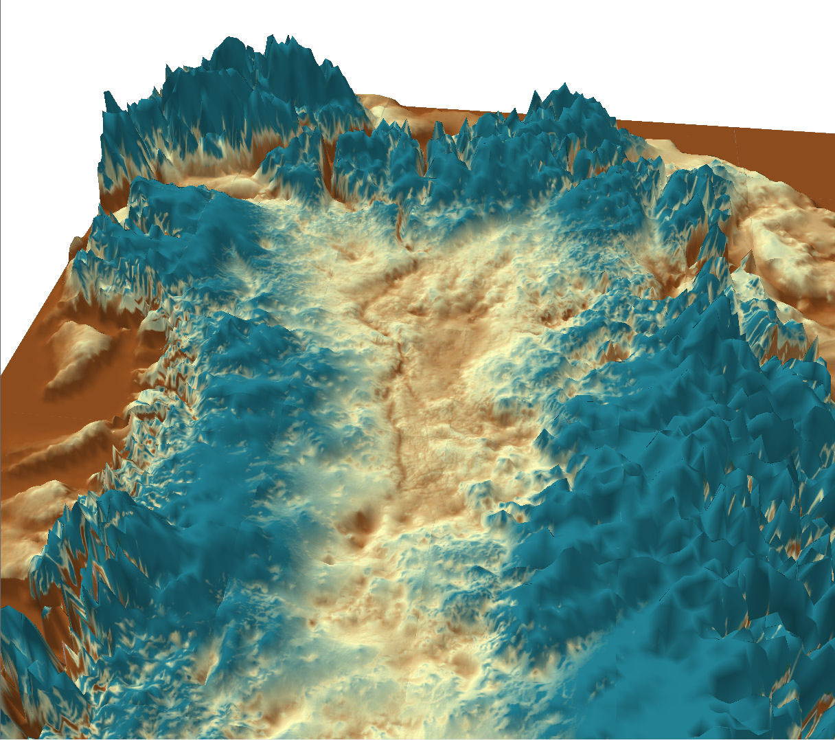
3D view of the subglacial canyon, looking northwest from central Greenland.
3D view of the subglacial canyon, looking to the southeast from the north of Greenland
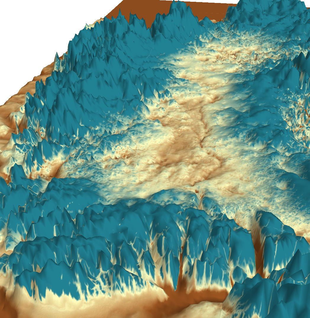
3D view of the subglacial canyon, looking to the southeast from the north of Greenland.
3D view of the subglacial canyon, northwest from central Greenland
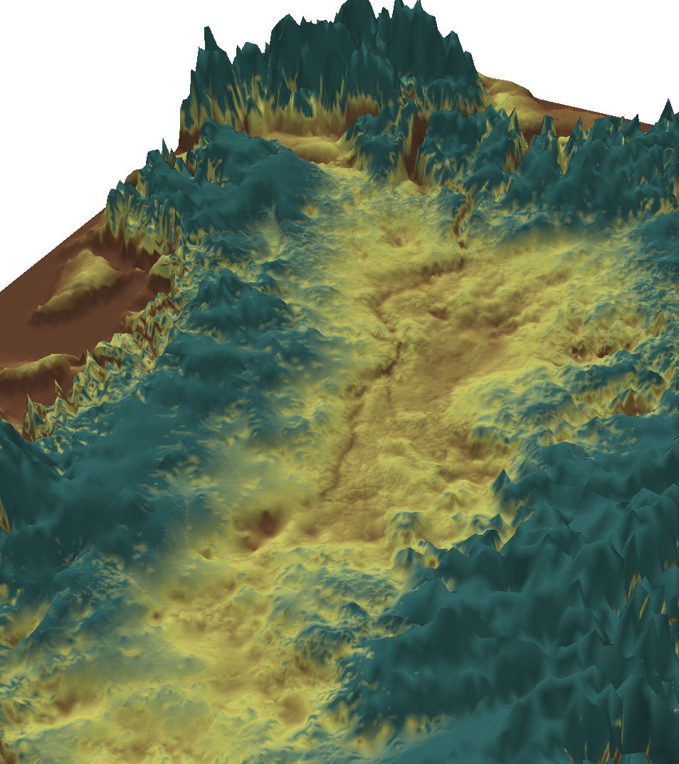
3D view of the subglacial canyon, northwest from central Greenland.
3D view of the subglacial canyon, northwest from central Greenland.
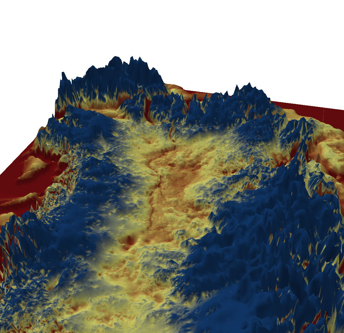
3D view of the subglacial canyon, northwest from central Greenland.
Sign up for the Live Science daily newsletter now
Get the world’s most fascinating discoveries delivered straight to your inbox.
For the science geek in everyone, Live Science offers a fascinating window into the natural and technological world, delivering comprehensive and compelling news and analysis on everything from dinosaur discoveries, archaeological finds and amazing animals to health, innovation and wearable technology. We aim to empower and inspire our readers with the tools needed to understand the world and appreciate its everyday awe.
LATEST ARTICLES


