Space photo of the week — Extraordinary images of our sublime universe
Space photos remind us that, around every corner of our vast universe, something spectacular awaits. From the newest James Webb Space Telescope images to historic photos of groundbreaking space missions, join us every Sunday as we explore the wonders of the universe, and humanity's place in it.
See more incredible space photos:
Latest about space photo of the week
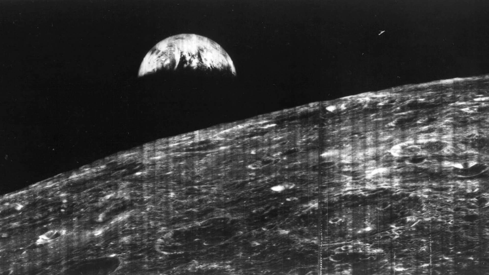
The world's first view of Earth from the moon — Space photo of the week
By Jamie Carter published
On Aug. 23, 1966, NASA's Lunar Orbiter 1 sent back the first photo of Earth from the moon. It showed a grainy crescent Earth that predated Apollo 8's famous color "Earthrise" by over two years.
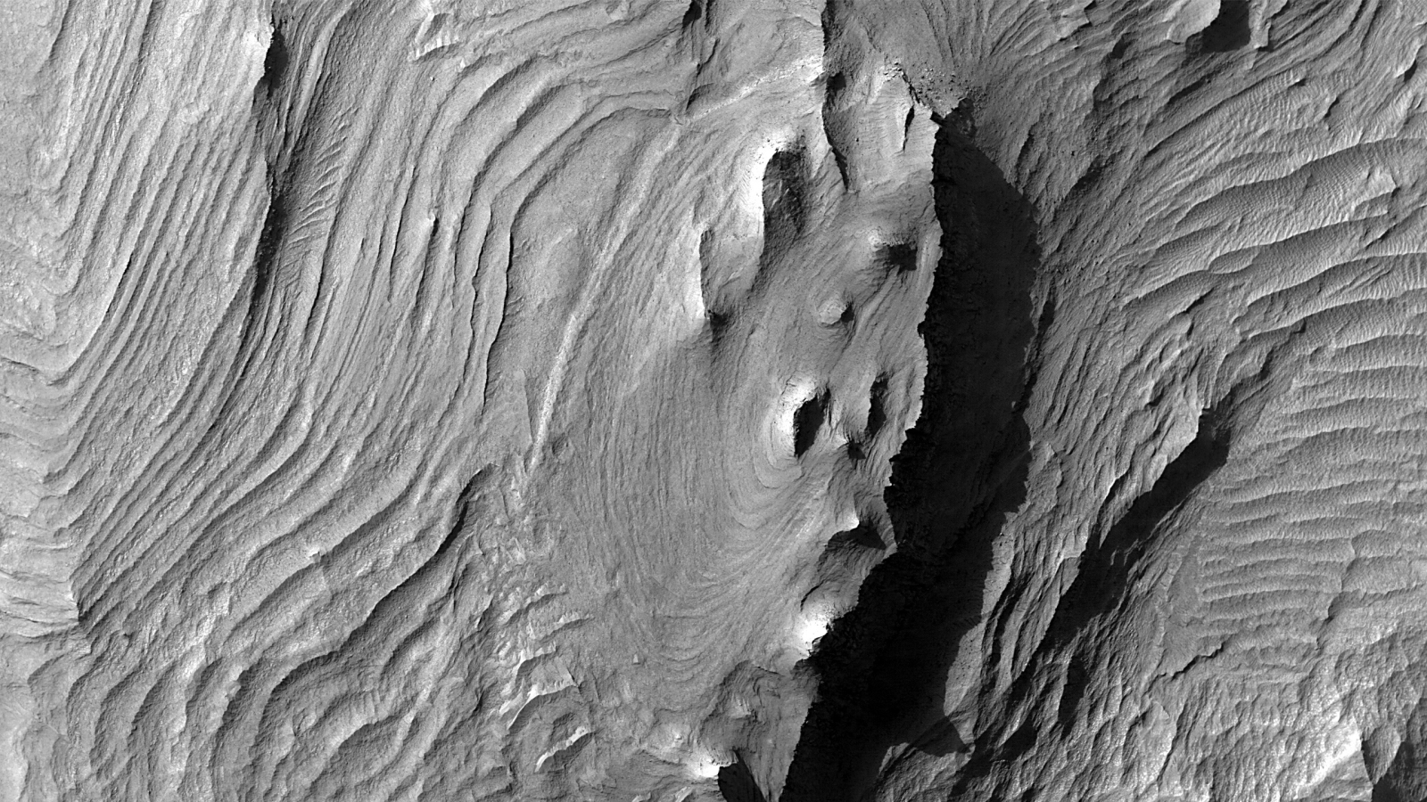
Longest canyon in the solar system reveals new secrets — Space photo of the week
By Jamie Carter published
NASA's Mars Reconnaissance Orbiter recently photographed Candor Chasma in Mars' Valles Marineris, the largest canyon in the entire solar system.
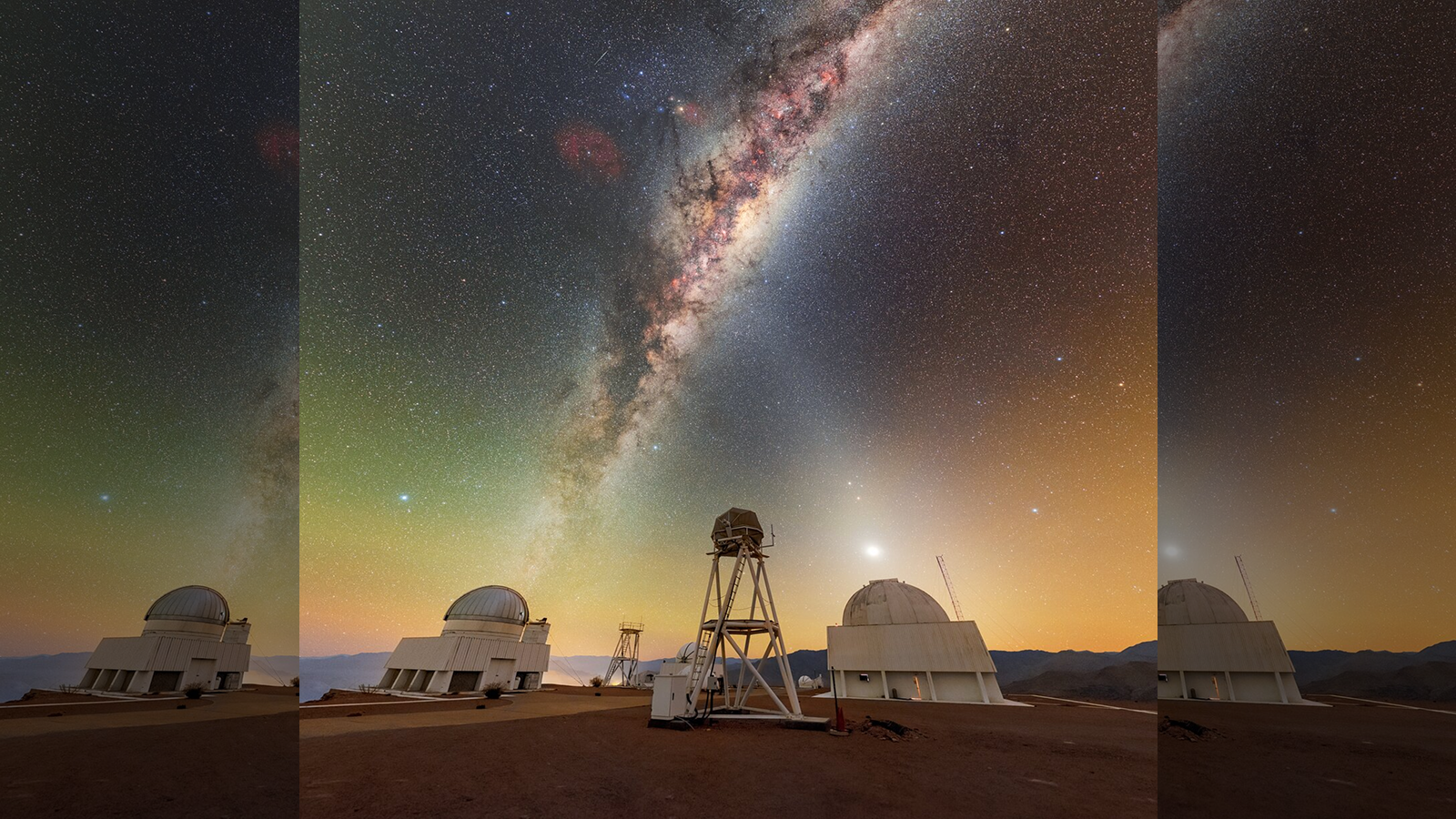
Giant 'X' appears over Chile as 2 celestial beams of light cross: Space photo of the week
By Jamie Carter published
The bright band of the Milky Way and the faint glow of "zodiacal light" meet above the mountains of Chile's Atacama Desert in this stunning night sky photo.

James Webb telescope captures one of the deepest-ever views of the universe — Space photo of the week
By Jamie Carter published
The James Webb telescope's 100-hour reexamination of one of Hubble's most iconic extragalactic images reveals extraordinary new details.
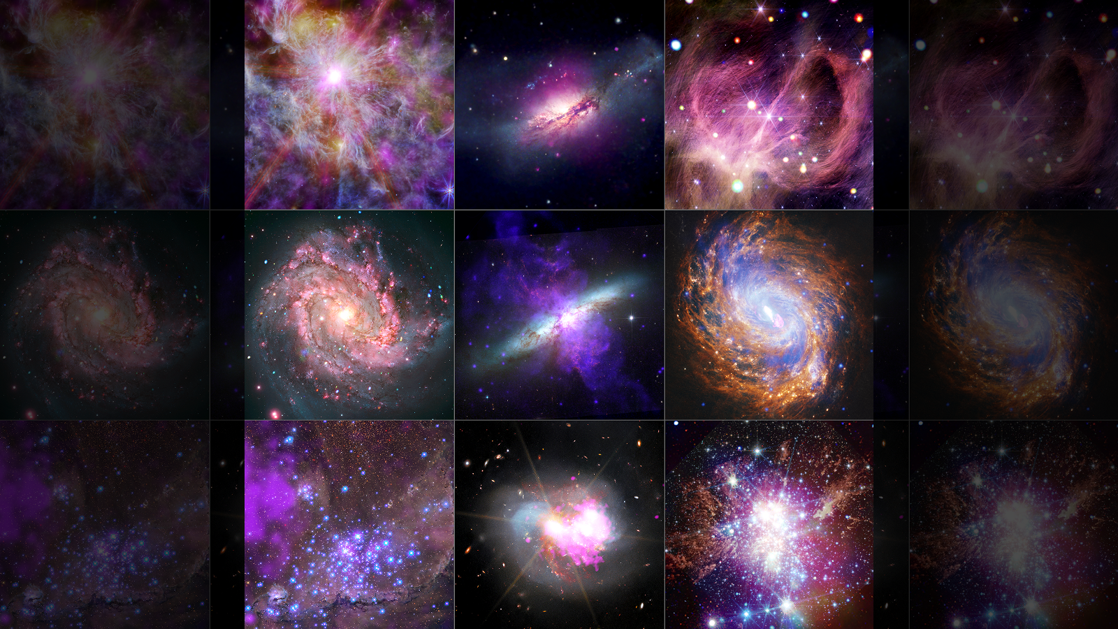
NASA unveils 9 stunning snapshots of the cosmos in X-ray vision: Space photo of the week
By Jamie Carter published
Scientists have released nine dazzling images from NASA's Chandra X-ray Observatory, blending data with the Hubble and James Webb space telescopes to reveal black holes, star clusters and distant galaxies like never before.
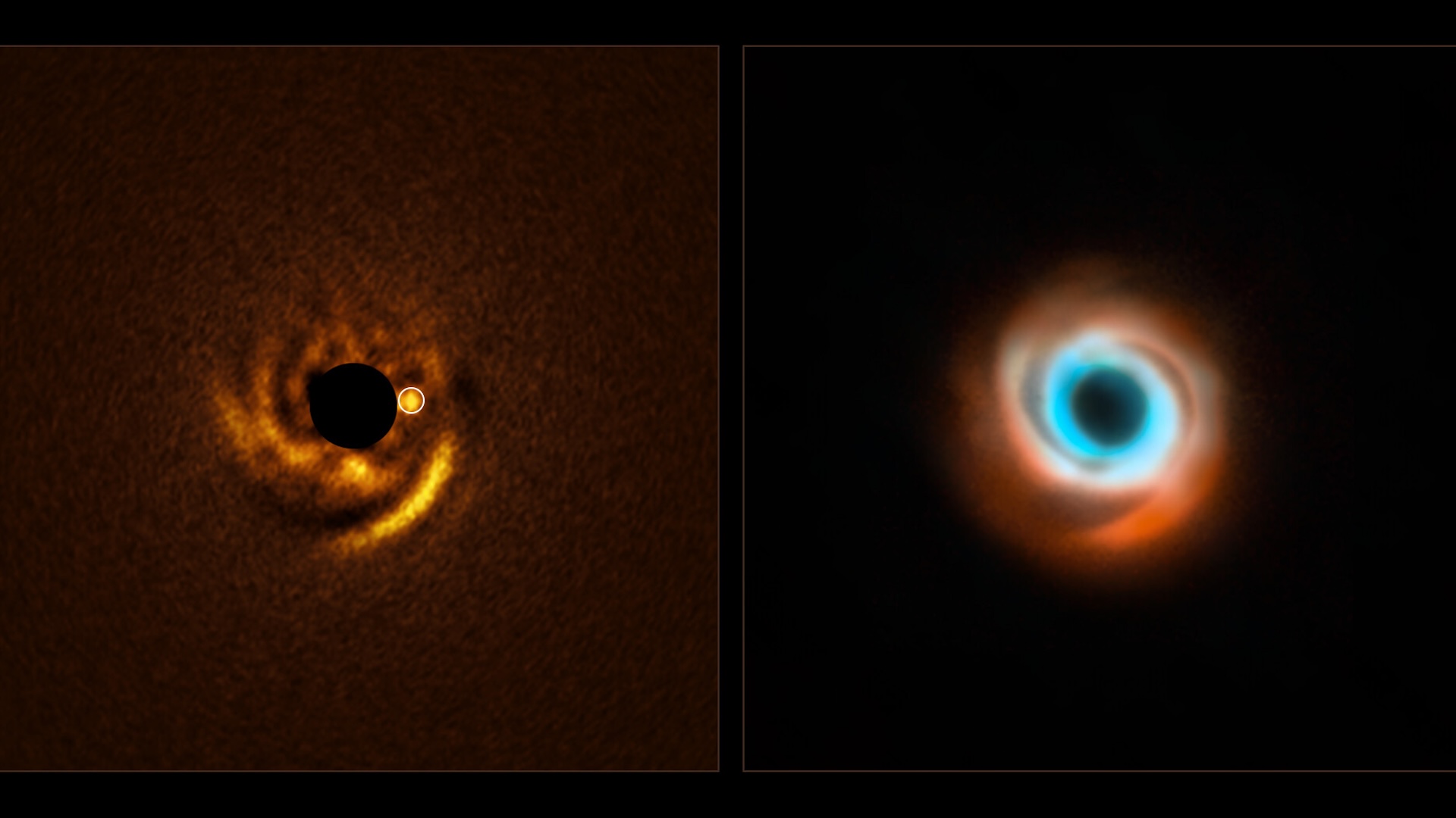
Astronomers witness a newborn planet emerging from the dust around a sun-like star: Space photo of the week
By Jamie Carter published
The Very Large Telescope in Chile has found, for the first time, an infant planet nestled in spiral arms of dust around a distant sun-like star.
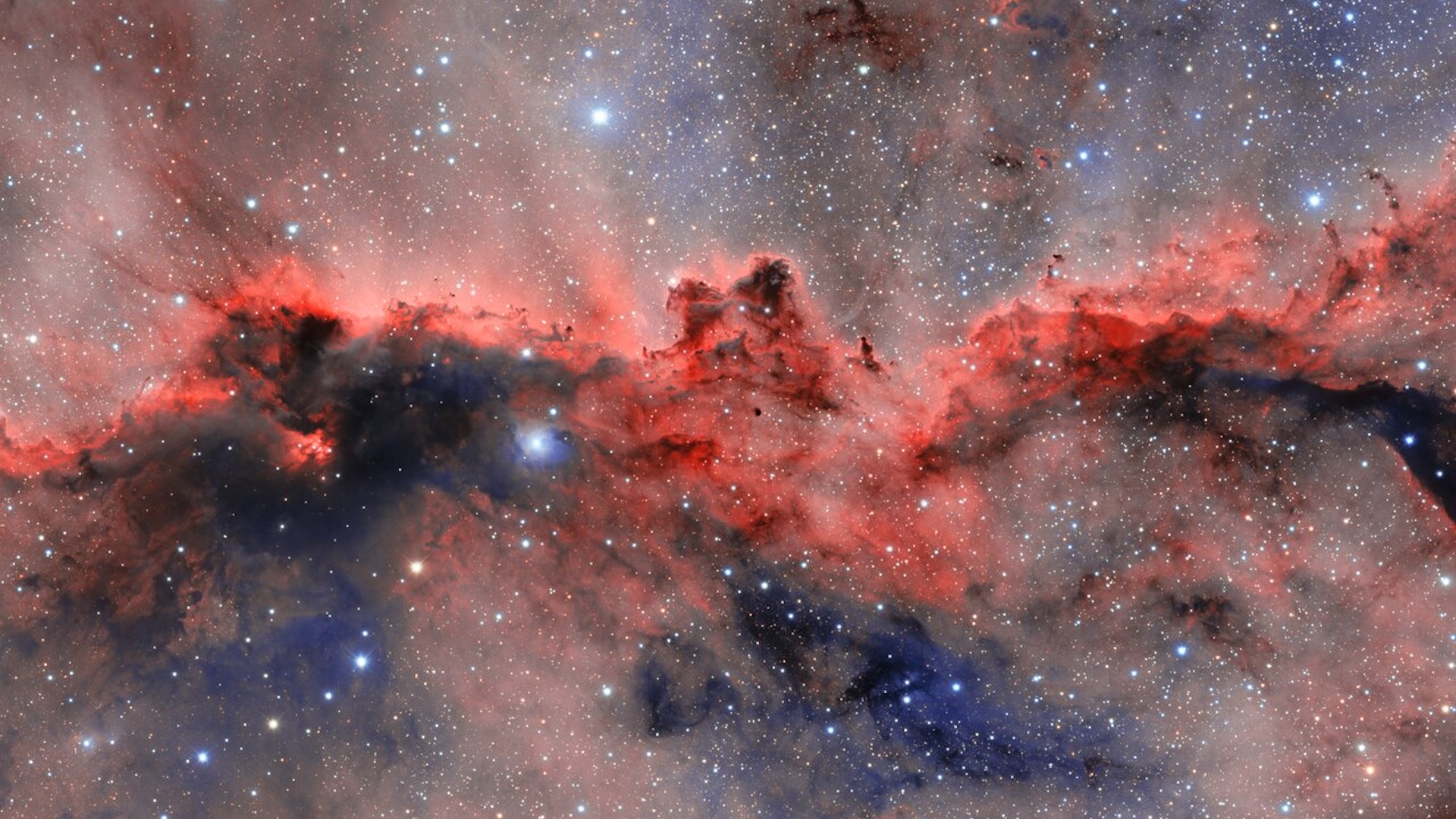
'Fighting dragons' light up little-known constellation in the Southern sky: Space photo of the week
By Jamie Carter published
A nebula where young stars sculpt dragon-like forms has been imaged in colorful detail by the Dark Energy Camera in Chile.
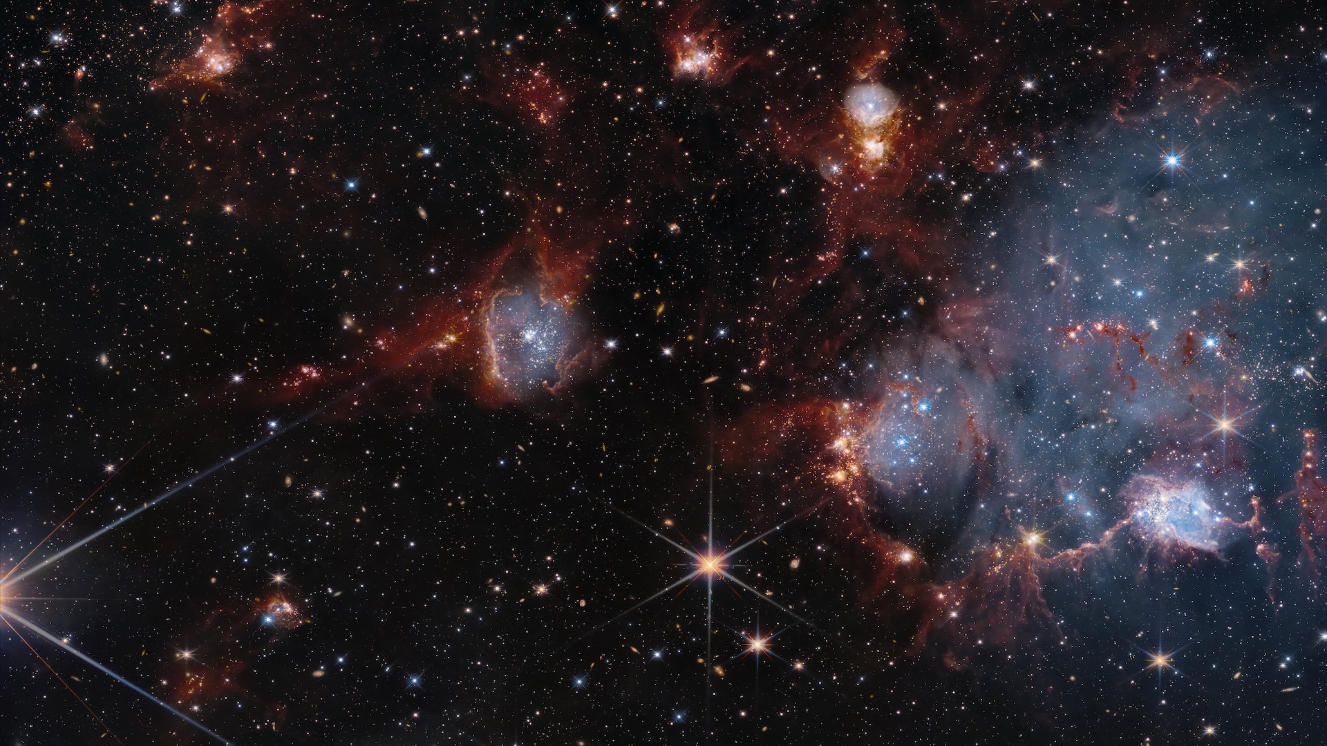
James Webb and Hubble telescopes join forces to explore a cosmic nursery: Space photo of the week
By Jamie Carter published
The mighty James Webb and Hubble space telescopes united to reveal stars being born inside the Small Magellanic Cloud, which orbits the Milky Way.

James Webb telescope reveals dizzying galaxies in the Bullet Cluster: Space photo of the week
By Shreejaya Karantha published
This unprecedented view of the Bullet Cluster provided by the James Webb Space Telescope and the Chandra X-ray Observatory reveals how the dark matter is distributed.
Get the world’s most fascinating discoveries delivered straight to your inbox.
