

Upside-Down Mountain Revealed Inside Earth

Scientists today (Oct. 6) unveiled the most detailed portrait yet of a mysterious region of the planet that human eyes have never seen — and likely never will — the bottom of Earth's tectonic plates.
The new image reveals a continental flip-side with a surprisingly dramatic silhouette, a bit like a reverse mountain range jutting from the bottom of the North American plate. The research appears in the journal Science's online publication Science Express.
"When we made the first image that showed this kind of jump we were very excited," said Vedran Lekic, a postdoctoral researcher at Brown University who led the research. "You're seeing something that has never really been seen like that before."
The work revealed that beneath a 46,000-square-mile (120,000-square-kilometer) region of Southern California, the continental plate is riddled with abrupt jumps in thickness, changing by as much as 18 miles (30 km) over a relatively short distance.
"It surprised us," Lekic told OurAmazingPlanet. "You could probably drive in less than an hour from the part that's very thick to the part that’s very thin. That means that the topography is very steep."
And that steep topography reveals that even at its most extreme depths, the lithosphere — Earth's rigid, outer shell — is tougher than some scientists thought.
"If you make a mountain out of sand, it can't be that steep, but if you make it out of granite it can be really steep," Lekic explained. So the Earth's lithosphere must be made of strong rock.

The research indicates that the girth of the continental slab in the studied area ranges from about 62 miles (100 km) thick to a comparatively svelte 25 miles (40 km) in some places. Although the study examined just one area of the planet, the researchers said it's likely the steep topography isn't an anomaly.
Geological layer cake
Earth's lithosphere, is made up of colossal, overlapping tectonic plates. Immediately underneath lies the asthenosphere, a hotter, more pliable layer of rock.
Where one layer ends and the next begins is one of the biggest mysteries of geology.
"The bottom of the tectonic plates is still one of the most enigmatic regions of the Earth's interior," said Rainer Kind, a professor at the Helmholtz Centre Potsdam, German Research Centre for Geosciences, who was not a part of the study.
In fact, Kind said, the lithosphere-asthenosphere question was dubbed one of seismology's top ten "Grand Challenges" on a national science list that U.S. researchers assembled two years ago.
Kind said the new study revealed surprising structures, thanks, in part, to the new methods and data available to look for them.
Using a technique akin to medical imaging for the human body, researchers look at the way the energy produced by distant earthquakes passes through the two contrasting layers to peer at the Earth's insides.
"The asthenosphere is weaker," Lekic said. The rock can flow, he explained, but on the immense scale of geological time it flows more like a glacier than a river. "If you were to pick it up in your hand you'd think it was a rigid rock, it's just the rock of the lithosphere is even more rigid," he said.
As seismic waves pass from the asthenosphere into the lithosphere, the change in rock character changes the character of the waves. By measuring where that change occurs, over and over again, scientists can begin to construct a picture.

"What it gives you is a 3-D image of the interface," Lekic said.
More than a decade's worth of data from more than 50,000 seismic events, recorded by a vast network of seismic sensors, went into the new picture.
Continent cutters
Although this is the most detailed glimpse yet of the continent's underbelly beneath California, several groups of scientists are doing similar work on other choice spots around the globe — and not just for the sake of a nice picture. The detailed images of the continents' undersides are part of a quest to solve a much larger geological mystery.
"The question that we're interested in is, 'How do tectonic plates — which make up the surface of the Earth — how do they come to break apart?'" Lekic said.
In essence, how do we go from Pangaea, the primeval supercontinent that existed around 250 million years ago, to the world we now see, with continents strewn about the globe.
"So we wanted to look at this question in a slightly new way, to try to image what the bottom of the tectonic plate looks like as it's being broken apart," Lekic said.
That's one reason the work focused on Southern California, which is an area of active continental rifting — the millions of years-long process that tears land masses apart. (In addition, the region is crowded with sensors maintained by the state itself, and was also the host for several years to a federally operated network of traveling seismometers known as the USArray.)
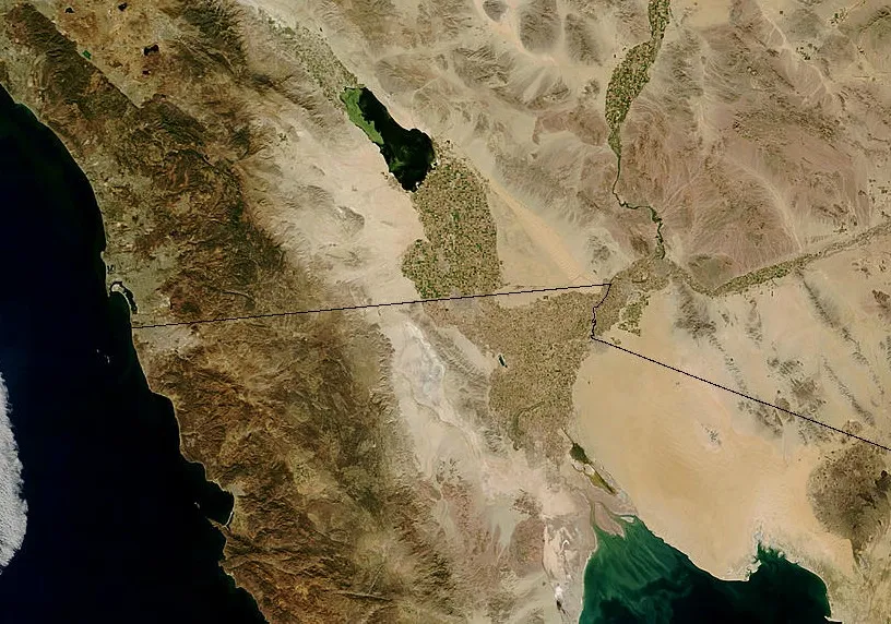
The scientists were specifically interested in an area known as the Salton Trough, a region just north of the Gulf of California — a long, narrow body of water the local rifting created when the Baja Peninsula was severed from the North American mainland millions of years ago.
It was directly beneath this rifting region that the lithosphere got so thin, Lekic said.
Overall, he said, better pictures of what lies far beneath our feet may help scientists better understand the dynamic mechanisms that push and pull on the Earth's innards and, in turn, fuel the events that affect the surface world.
"When we saw these dramatic changes in thickness it did feel like we were seeing something new and exciting," Lekic said.
"I don't know if we jumped around. We might have gotten giddy," he said.
You can follow OurAmazingPlanet staff writer Andrea Mustain on Twitter: @andreamustain. Reach her at amustain@techmedianetwork.com. Follow OurAmazingPlanet for the latest in Earth science and exploration news on Twitter @OAPlanet and on Facebook.
