Images: Deforestation Around the World
Global Forest Watch
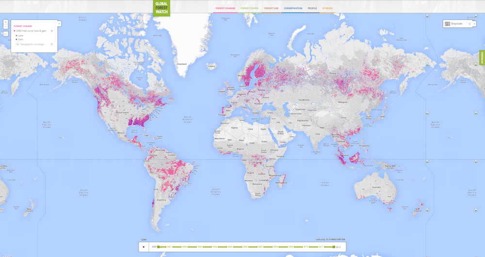
Global Forest Watch, launched Feb. 20, 2014, provides a near real-time update of forest loss around the globe. [Read more about the Global Forest Watch website]
Forests from Orbit
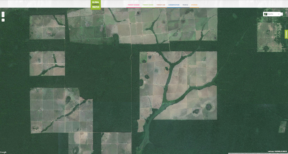
Satellite images from NASA's Terra and Aqua satellites, as well as the Landsat satellites, shows clear-cutting encroaching on forests.
Indonesia Forest Loss
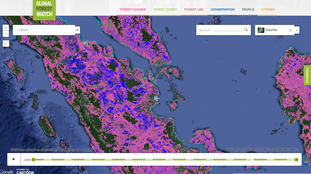
Pink overlaying the satellite imagery shows forest loss in Indonesia, where palm oil plantations and oil drilling are major deforestation drivers.
Active Fires Globally
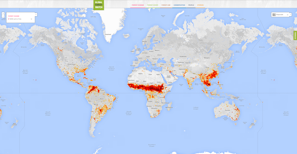
Information from NASA's Aqua and Terra satellites shows active fires in the past seven days around the globe.
Forest Loss
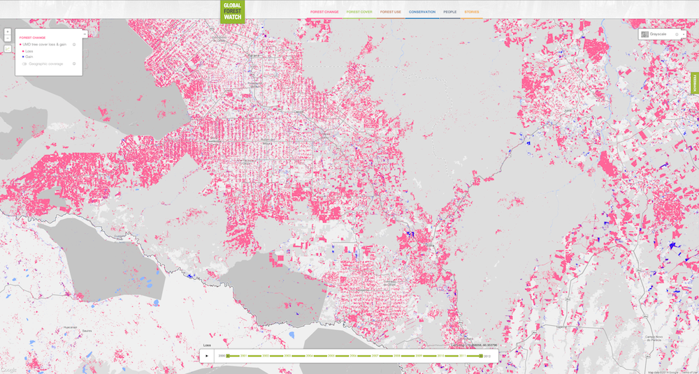
Global Forest Watch updates monthly with medium-resolution satellite data, and annually with high-resolution data that shows forests in great detail.
Countries Mapped
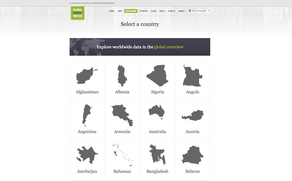
Country pages organize deforestation and forest gain by nation.
Brazil Forest Data
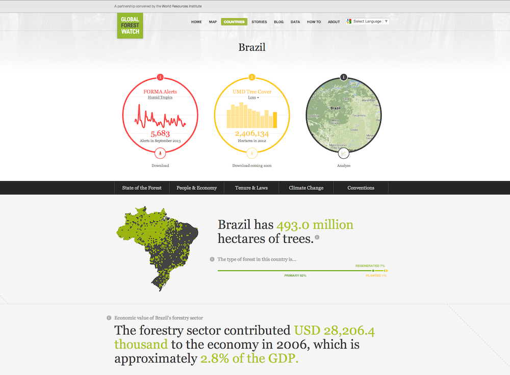
Individual country pages on Global Forest Watch show national data on forest loss and gain.
Get the world’s most fascinating discoveries delivered straight to your inbox.
Land Use
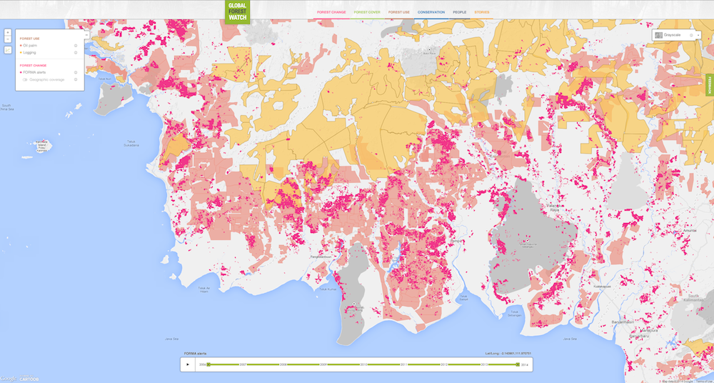
In Indonesia and several other regions, the map includes land-use data, such as clear-cutting or oil and gas concessions, seen here.
User Stories
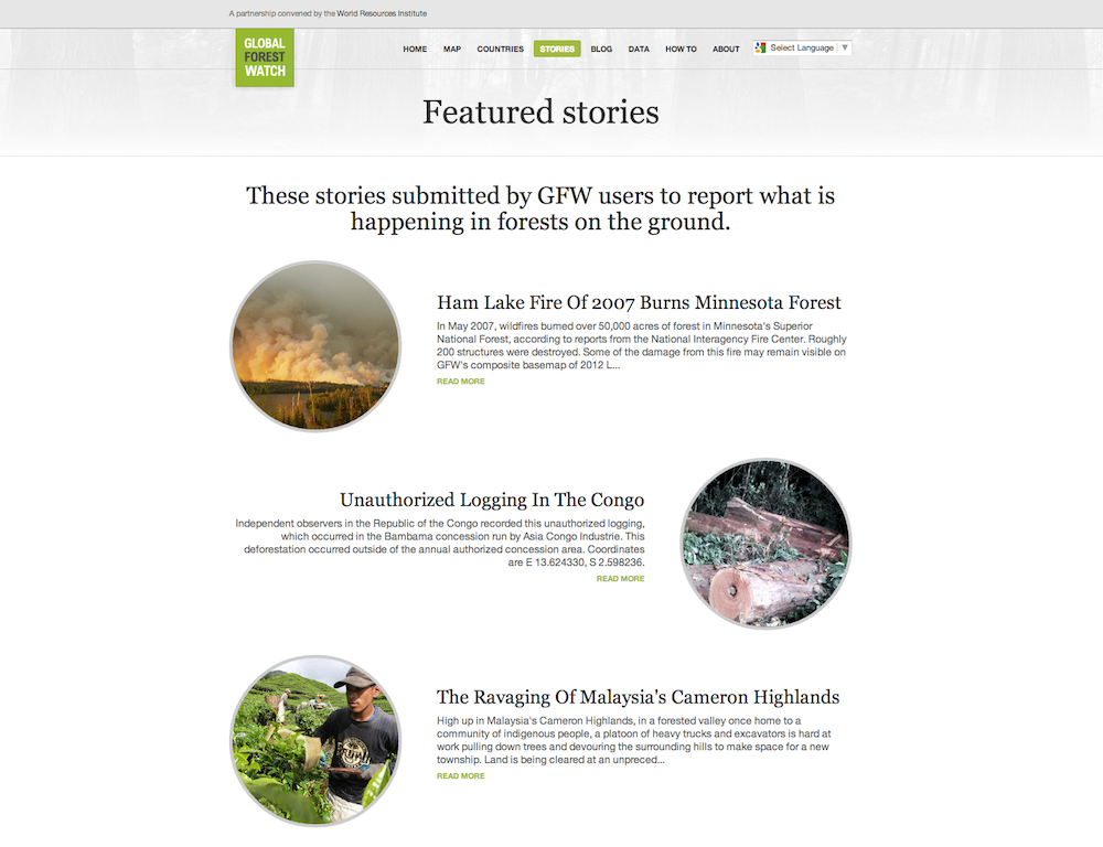
Global Forest Watch users can upload local stories or alerts to warn of deforestation threats.
Protected Area Lost
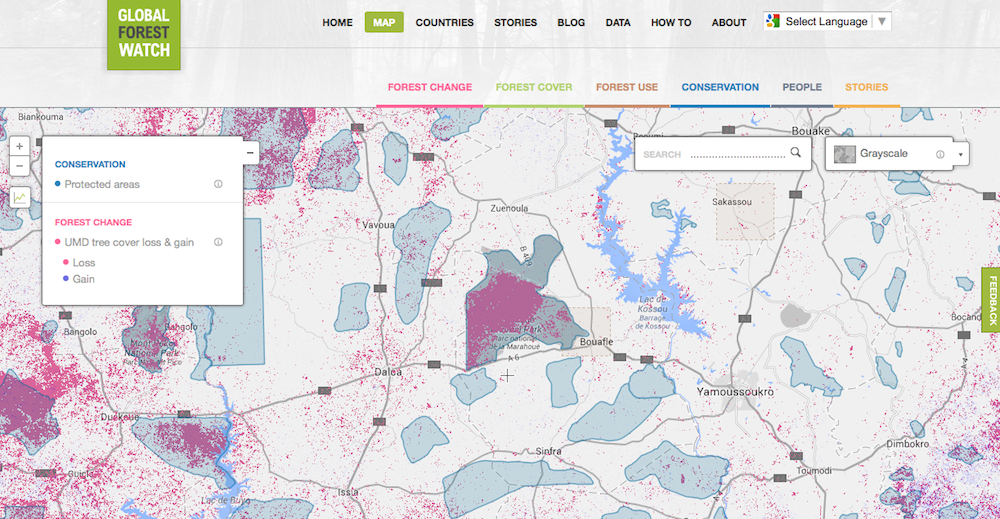
Marahoue National Park in the Ivory Coast has lost more than 90 percent of its forest cover. On the Global Forest Watch Map, the protected area is shown in blue, overlapping with the pink deforestation.

Stephanie Pappas is a contributing writer for Live Science, covering topics ranging from geoscience to archaeology to the human brain and behavior. She was previously a senior writer for Live Science but is now a freelancer based in Denver, Colorado, and regularly contributes to Scientific American and The Monitor, the monthly magazine of the American Psychological Association. Stephanie received a bachelor's degree in psychology from the University of South Carolina and a graduate certificate in science communication from the University of California, Santa Cruz.
 Live Science Plus


