
Images: Twin Tornadoes Waterspouts in Action

Birth of a waterspout
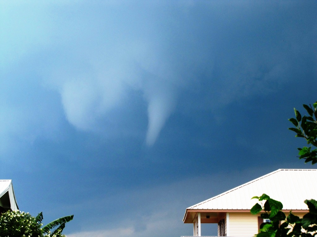
On May 9, 2012, a scientist caught the birth of twin waterspouts on film.
To the ground
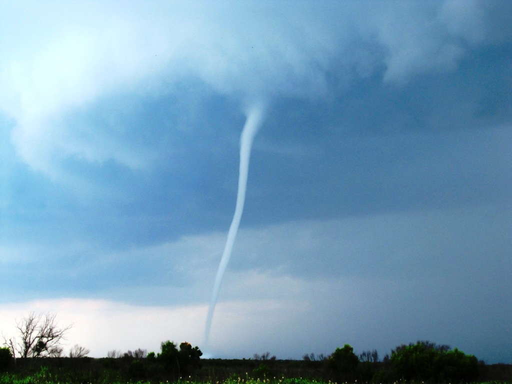
The twisters formed at the leading edge of severe weather that swept across Louisiana's Grand Isle.
A second on the way
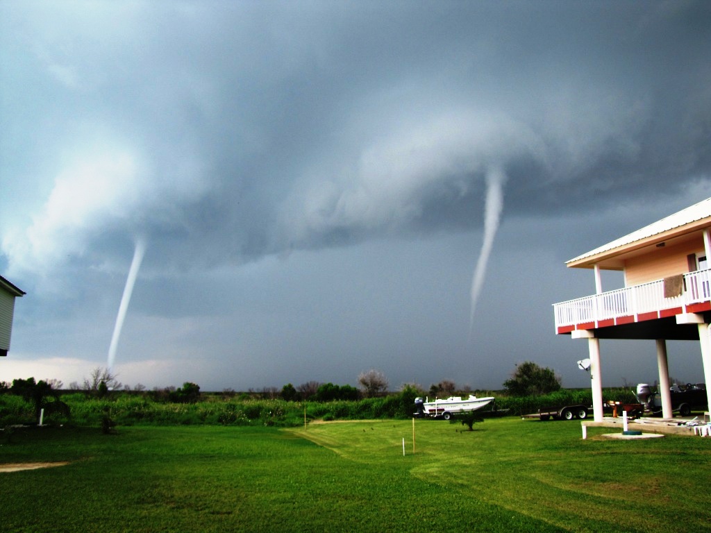
The twin waterspouts lasted about 10 or 15 minutes.
Article continues belowPlaying chase
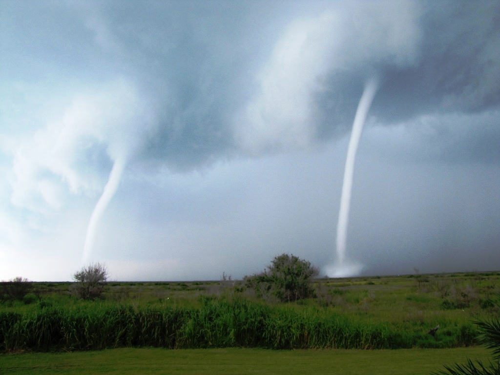
Tim Osborn, a scientist with the National Oceanic and Atmospheric Administration who caught the twisters in action, said the waterspouts grew larger, and moved in tandem.
Scary sight
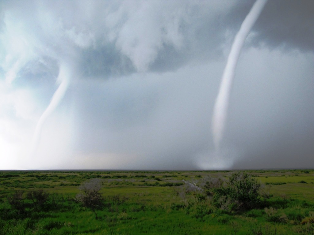
This type of waterspout is called a tornadic waterspout, since it forms in the clouds.
Bigger, not better
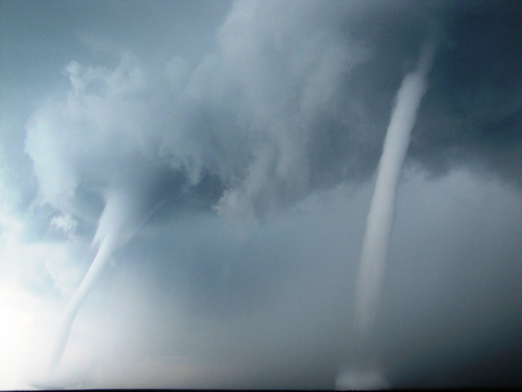
The twin waterspouts were accompanied by pounding rain and powerful winds.
Getting bigger
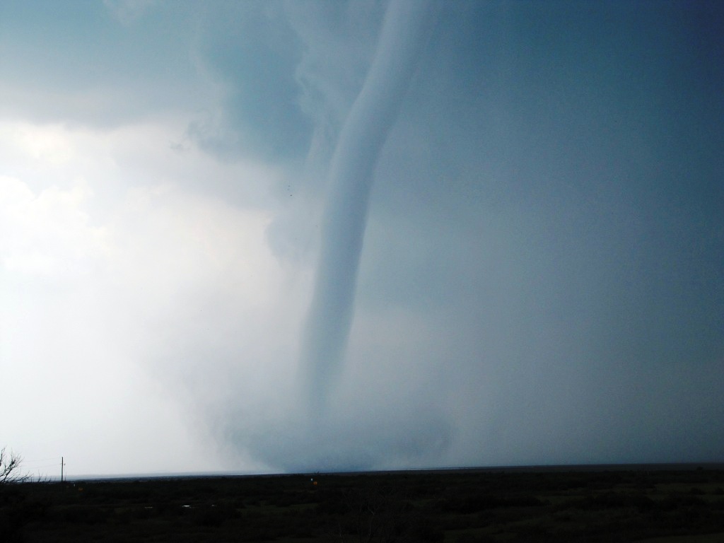
One twister kicks up a halo of spray.
Get the world’s most fascinating discoveries delivered straight to your inbox.
Lift off
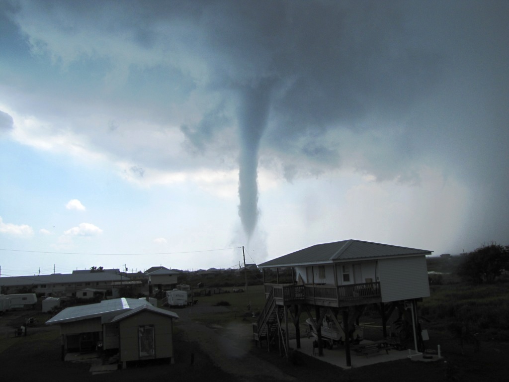
One tornado barreled across the island, cutting power and damaging homes.
Aftermath
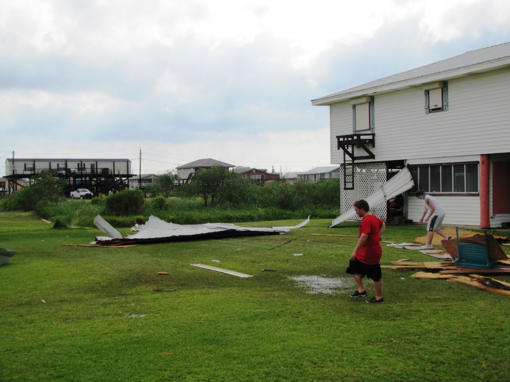
It left a swath of damage a quarter-mile long and 400 feet (122 meters) across. Fortunately, nobody was injured.
