


'Clouds Streets' Over Scandinavia
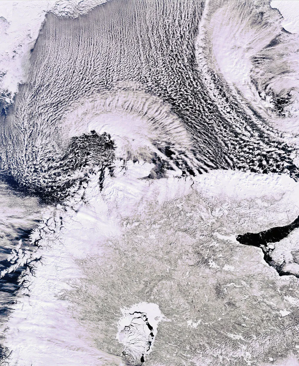
They may look fake, but the clouds in this striking pattern are a natural phenomenon know as "clouds streets."
The European Space Agency's (ESA) Envisat satellite snapped this picture of the cloud streets just north of the northern part of the Scandinavian peninsula, home to Norway and Sweden, and the largest peninsula in Europe.
The cloud streets have formed over the Barents Sea due to a mixture of heat, moisture and wind, according to an ESA statement. In this image, taken on April 5, 2009, cold, dry air masses over the ice are flowing from the north to the south. The cloud streets align with the direction of the wind.
The clouds, commonly found at the border between ice and sea, get their stretched shape through processes related to the high wind speeds at the edge of the ice.
Get the world’s most fascinating discoveries delivered straight to your inbox.
