Predictions of a record-size dead zone in the Gulf of Mexico did not come to fruition today (Aug. 1) when the results of the annual survey were released.
Instead, scientists charted a large, but not unprecedented, expanse — 6,765 square miles (17,521 square kilometers) — within the gulf where water was low on oxygen. The dead zone, which peaks in summer, creates suffocating conditions for animals living within it and threatens the fishing industry in the region.
This expanse is above average, but not as large as predicted, according to Nancy Rabalais, executive director, Louisiana Universities Marine Consortium.
Latest Videos From
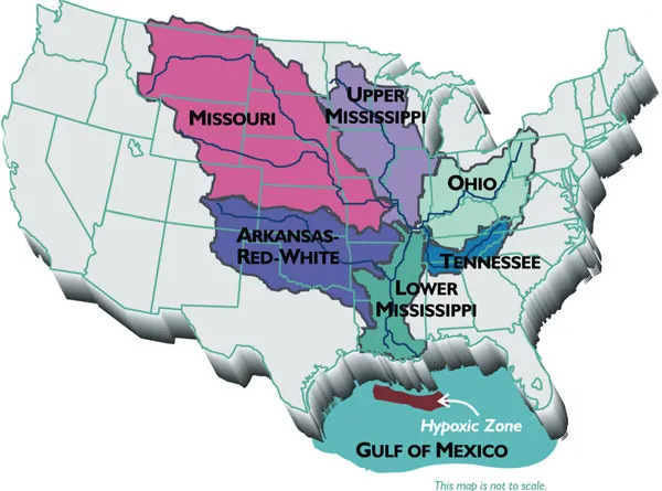
Earlier this year, scientists predicted the dead zone would meet or exceed its record from 2002 — more than 8,400 square miles (21,756 square km) — because of spring flooding along the Mississippi River. This flooding carried more nitrogen pollution, much of it from fertilizer used in agriculture, into the gulf.
Once in the gulf, this nitrogen causes algae blooms, which die and sink. These are broken down by bacteria that, as part of the decomposition process, suck oxygen out of the water. The influx of fresh water into the Gulf of Mexico also contributes to the dead zone. Because it is lighter, the fresh water creates a layer above the heavier salt water. This prevents the mixing that carries oxygen from surface waters down into deeper ones, Rabalais explained. [Top 5 Mightiest Floods of the Mississippi River]
Storms can whip up waters, and so disrupt this two-layer system. Tropical Storm Don, which made landfall in Texas on Friday (July 29), appears to have done just that, reducing the size of this year's dead zone, according to Rabalais, who spoke to reporters during a conference call today.
There's evidence that the dead zone actually covered more area than this summer's survey captured, according to Don Scavia, the director of the Graham Sustainability Institute at the University of Michigan. The storm, which coincided with the survey cruise, would have disrupted hypoxic, or low-oxygen, conditions, but after the storm and the cruise passed, the dead zone would have reformed. This is the risk of having a limited window to collect data all along the continental shelf, Scavia said.
"It can't be any smaller than what they measure, but it can easily be larger," he said.
There was other bad news as well. In places, conditions appear to have become quite extreme along the seafloor this summer, resulting in the release of hydrogen sulfide and a rotten-egg smell, she said.
"Hydrogen sulfide is also toxic to organisms. They can be killed by low oxygen or something that can survive low oxygen will be killed by hydrogen sulfide, so it's a double jeopardy situation for animals that live in the sediments and can't escape," she said.
During the survey, which is supported by the National Oceanic and Atmospheric Administration, researchers saw animals that normally live on the seafloor, including foot-long eels, swimming near the surface in an attempt to escape low oxygen levels farther down, Rabalais said.
There is also evidence that the Gulf of Mexico is becoming more vulnerable over time.
"There is also some indication that the gulf is becoming less resilient to nitrogen pollution, which means we now get a larger low-oxygen area for less nitrogen than we did in the past," she said.
You can follow LiveScience senior writer Wynne Parry on Twitter @Wynne_Parry.

 Live Science Plus