On Ice: Stunning Images of Canadian Arctic
Canadian Arctic Research

Researchers Christina Bell, Brad Danielson and, David Burgess digging a 4 meter (13 ft) snow pit to examine annual snow layers, Devon Island Ice Cap, Nunavut, Canada. From these layers, researchers are able to determine how much snow accumulates each year.
Canadian Arctic Research

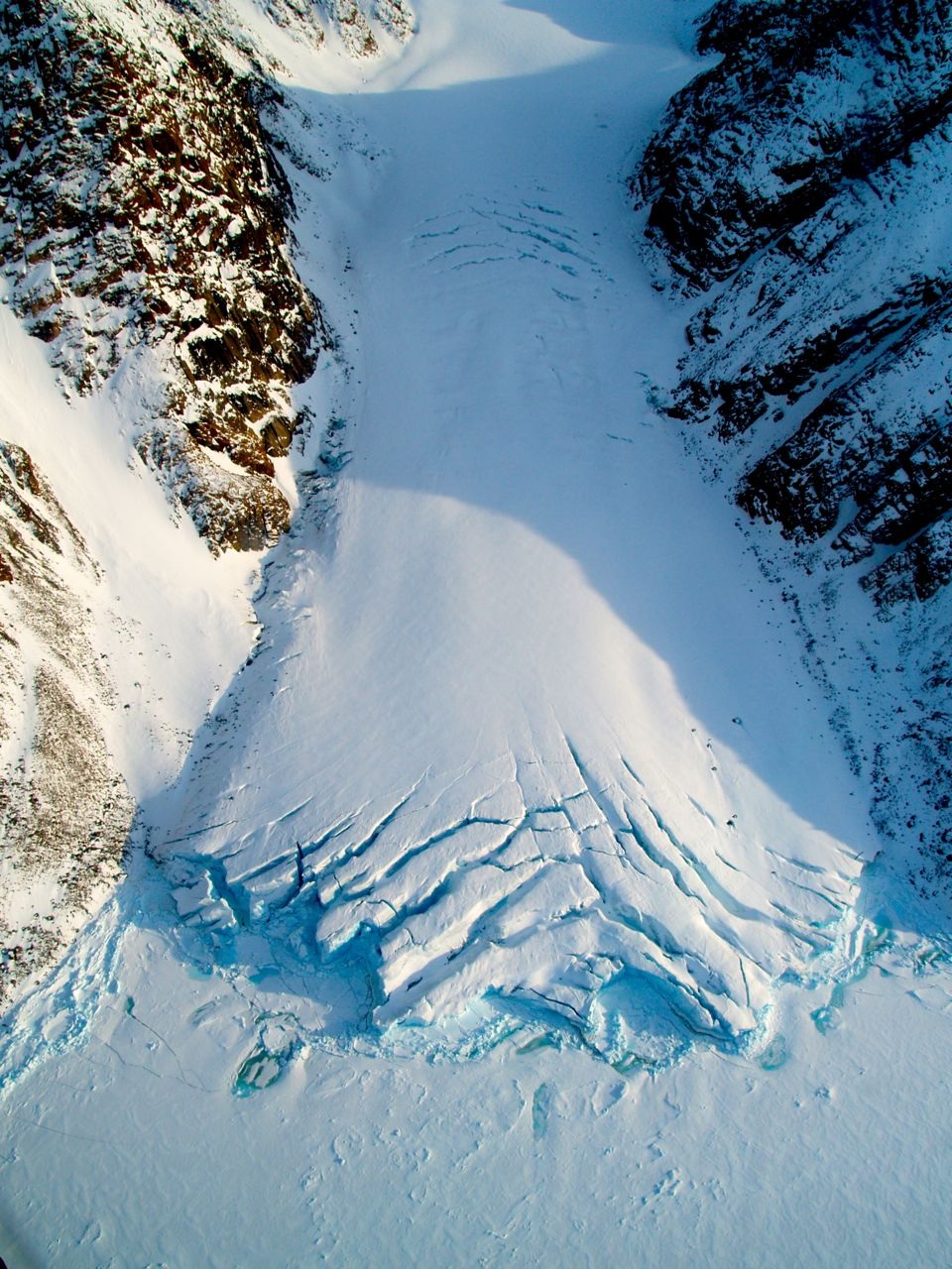
A small glacier exiting the Devon Island Ice Cap, Nunavut, Canada.
Canadian Arctic Research

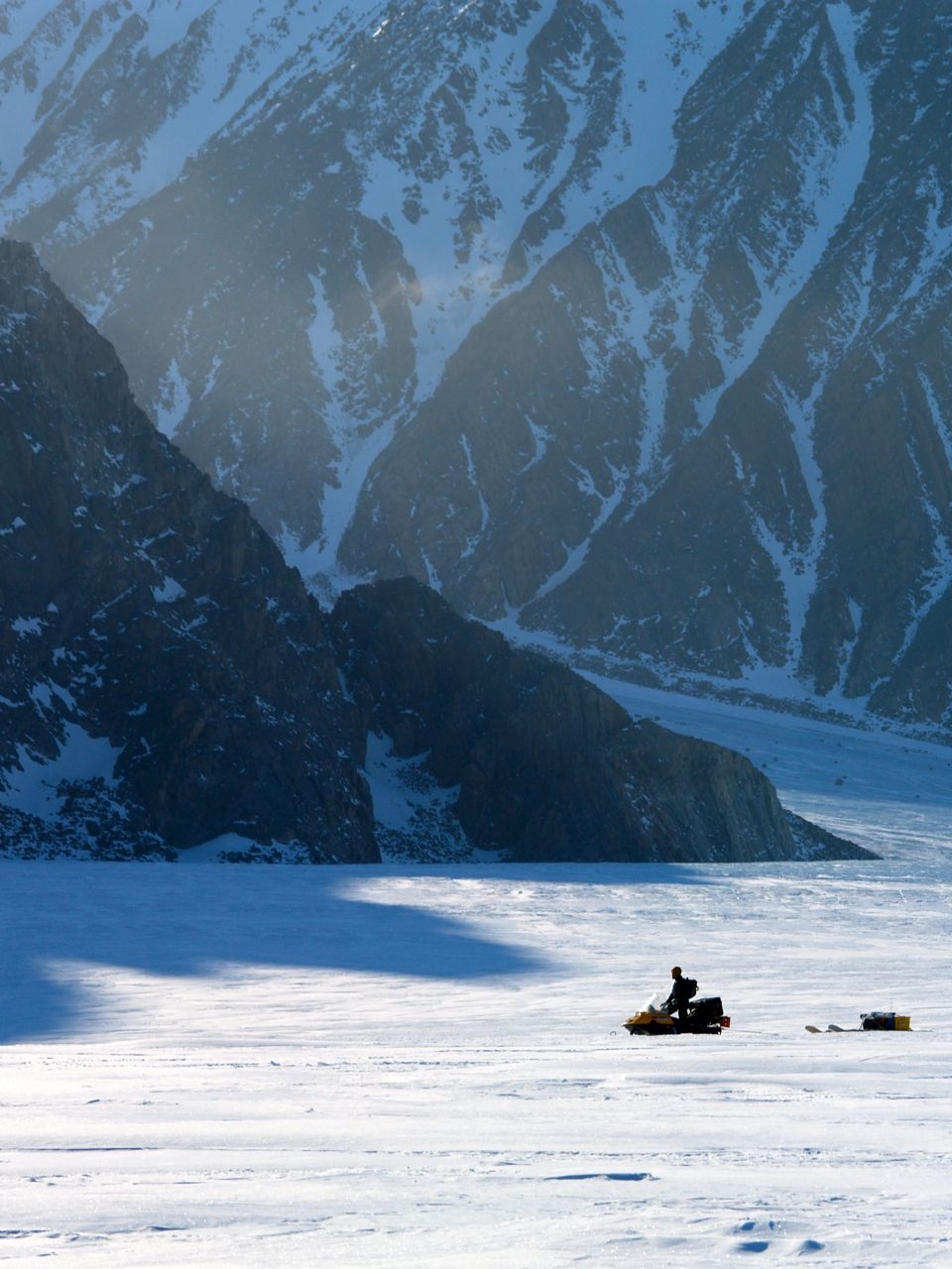
Canadian researcher makes his way along the Belcher Glacier while installing instrumentation to measure the glaciers velocity, Devon Island, Nunavut, Canada. This helps the researches determine how much ice is being transported from the interior of the Devon Island Ice Cap to the ocean.
Canadian Arctic Research

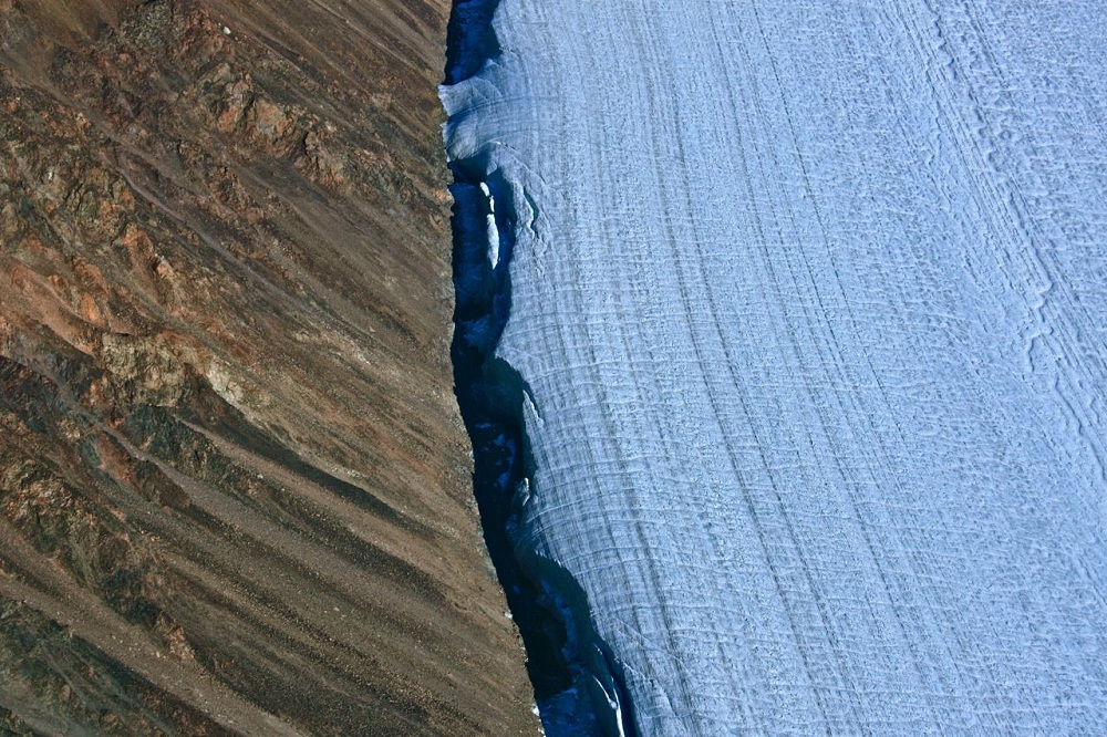
Areal view of the Sverdrup Glacier, a river of ice that flows from the interior of the Devon Island Ice Cap into the ocean. Nunavut, Canada.
Canadian Arctic Research

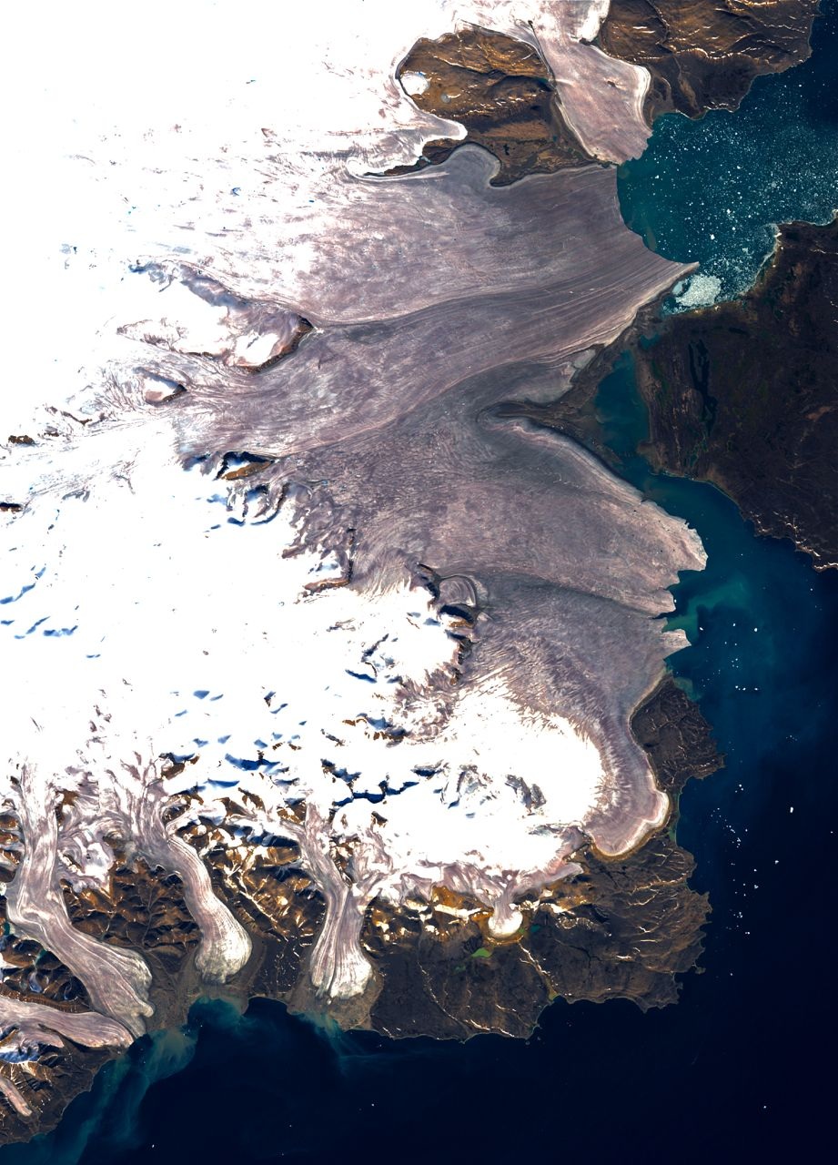
Landsat 7 ETM+ satellite image of south-east Devon Island Ice Cap, Devon Island, Nunavut, Canada. The darker ice is the result of accumulated impurities at the surface.
Get the world’s most fascinating discoveries delivered straight to your inbox.
Jennifer Welsh is a Connecticut-based science writer and editor and a regular contributor to Live Science. She also has several years of bench work in cancer research and anti-viral drug discovery under her belt. She has previously written for Science News, VerywellHealth, The Scientist, Discover Magazine, WIRED Science, and Business Insider.


