Forget the Shovel, Ancient Finds Now Made From Space

Badgers discovered the burial site of 12th-century Slavic warriors and a Stonehenge cremation burial. The Lascaux cave paintings were discovered by four schoolchildren and a dog. The 5,000-year-old corpse of Ötzi was discovered when hikers happened upon in the Alps. The Rosetta Stone was discovered by French soldiers expanding their fort.
Many discoveries in archaeology have happened this way, by accident. But archaeology now has much better tools than badgers and lucky amateurs with shovels.
Take, for example, the search for the ancient lost city of Itjtawy in Egypt.
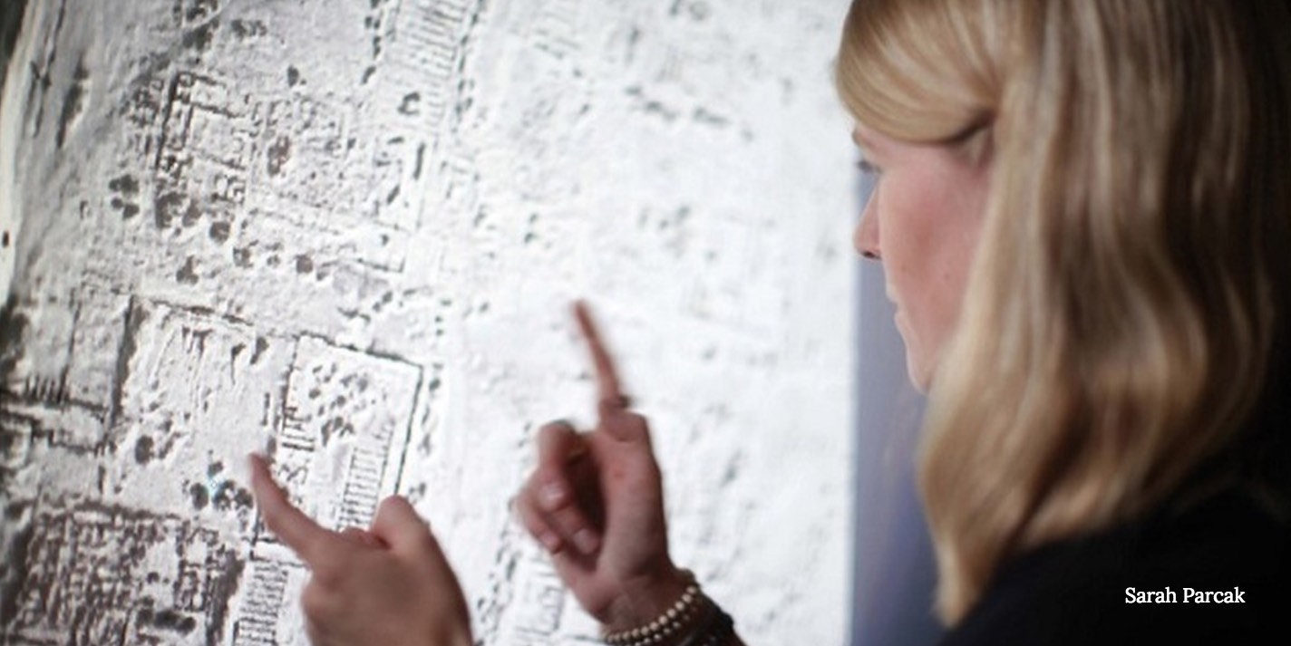
"Finding it randomly would be the equivalent of locating a needle in a haystack, blindfolded, wearing baseball mitts," explained Sarah Parcak, a space archaeologist and founder of the Laboratory for Global Observation at the University of Alabama at Birmingham, in her TED Talk.
RELATED: Lost Egyptian Pyramids Found?
So Parcak developed a way to process satellite images with infrared in order to identify chemical changes in the soil caused by the activity of ancient civilizations. She quickly found patterns where there were previously none. With this technique, she located the long-ago path of the Nile and the probable location of this important city, which was the capitol of Egypt for 400 years during its important middle kingdom.
Looking for ancient sites this way has proved to be a boon for the study of ancient human civilizations.
Get the world’s most fascinating discoveries delivered straight to your inbox.
Back in 2011, Parcak discovered more than a dozen lost pyramids and over 1,000 tombs and 3,100 ancient settlements in Egypt alone using this technique.
Last year, NASA archaeologist Tom Sever, archaeologist William Saturno of the University of New Hampshire in Durham, and researcher Daniel Irwin of NASA's Marshall Space Flight Center in Huntsville, Alabama used satellite images to locate several Mayan settlements that had been cloaked in deep jungle.
In June 2016, Parcak and archaeologist Christopher Tuttle, executive director of the Council of American Overseas Research Centers, used satellite imagery and drone photography to locate an enormous hidden monument in the well-known — and much visited — historical site Petra in Southern Jordan.
Last week, the Afghanistan Ministry of Information and Culture (MoIC), announcedthat it has used satellites to identify 5,000 ancient sites in that country over the past year. It's creating a map of the sites and hopes to use the information to protect the sites from looters.
But that doesn't mean that happy accidents are no longer needed in the quest to uncover the knowledge about prehistoric humans. In fact, Parcak is hoping to solicit the help of interested amateurs to speed up this important work. (Badgers, though, might be out of work in this field.)
RELATED: Egyptian Pyramids Found With NASA Satellite
Parcak received a TED Prize for her work using processed satellite imagery for archaeology last year and is using it to start a global movement, housed online at GlobaXplorer, to solicit the time and skill of interested amateurs to help archaeologists locate and identify ancient sites as quickly as possible before they are destroyed by war or looters.
"By building an online citizen science platform and training a 21st century army of global explorers," she said at GlobaXplorer, "We'll find and protect the world's hidden heritage, which contains clues to humankind's collective resilience and creativity."
Instead of stumbling upon ancient remains when doing construction or playing in caves, she is hoping we will go online and help her sift through massive numbers of satellite images, looking for patterns that look like ancient civilizations or buildings. In fact, she asks rather urgently for help since construction, war, and looting do much more to destroy ancient sites than lucky accidents do to preserve them.
"Archaeologists have explored less than 10 percent of the Earth's surface," she said at GlobalXplorer.org. "In the next 10 years, we can explore the remaining 90 percent."
Original article on Seeker.
 Live Science Plus


