Photographic Proof of Climate Change: Time-Lapse Images of Retreating Glaciers
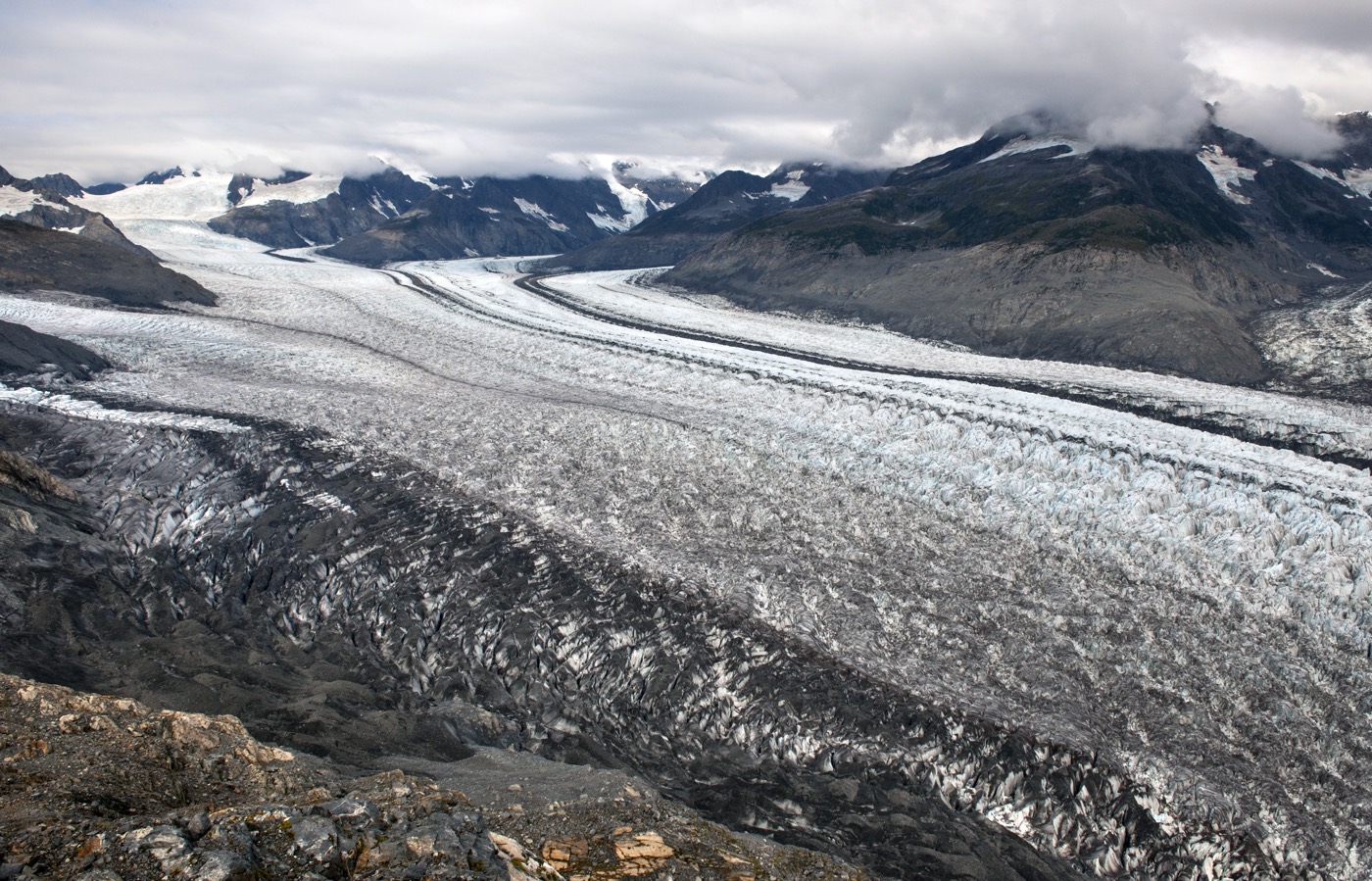
Columbia Glacier - Before

The Columbia Glacier, which is located on the southeastern coast of Alaska, is called a tidewater glacier, meaning it flows directly into the sea, according to NASA's Earth Observatory. In 1794, British explorers surveyed the glacier, showing its nose (called the terminus) jutted out to the northern edge of Heather Island, near the mouth of Columbia Bay, the Earth Observatory reported. "The glacier held that position until 1980, when it began a rapid retreat that continues today," said the Earth Observatory. This image shows the glacier in 2009.
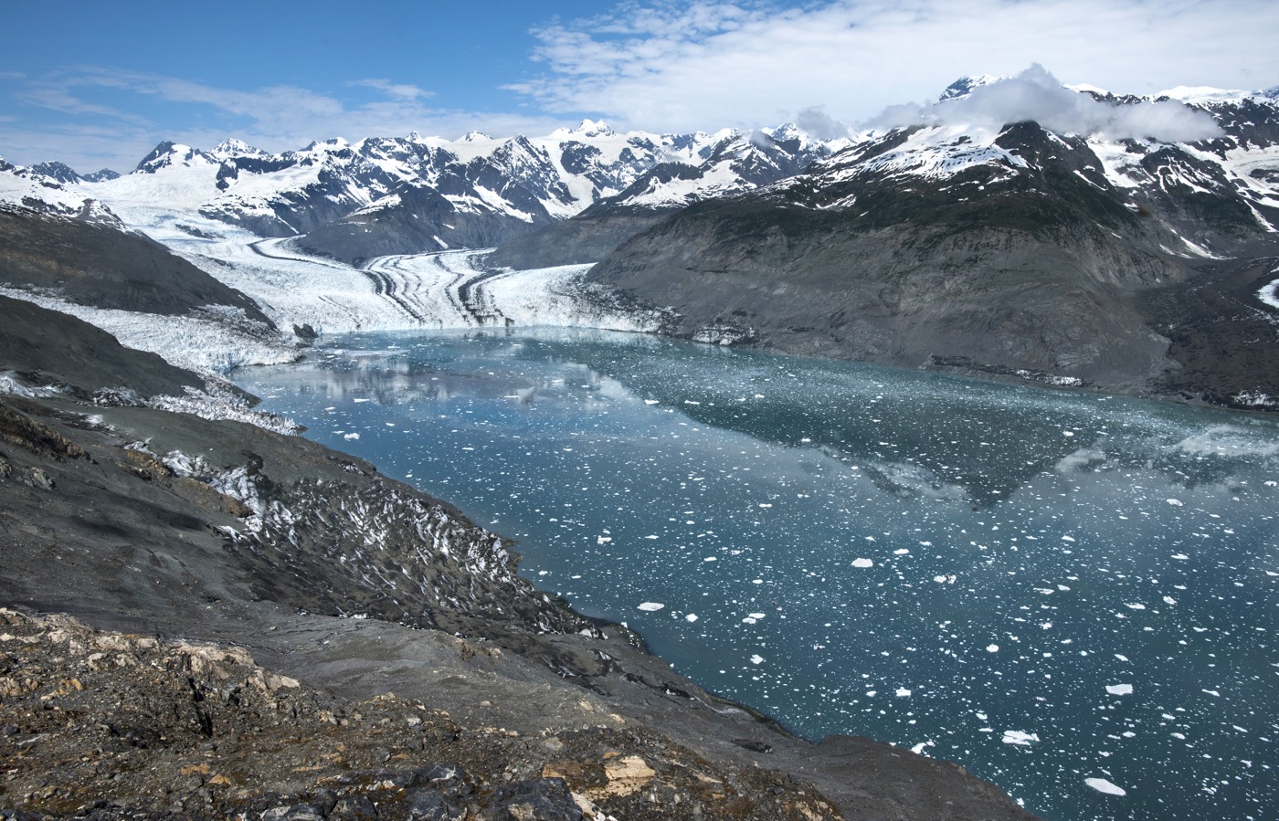
Columbia Glacier - After

Between 2009 and 2015, the Columbia Glacier retreated by a whopping 4 miles (6.5 kilometers), the study researchers said.
Get the world’s most fascinating discoveries delivered straight to your inbox.
Jeanna Bryner is managing editor of Scientific American. Previously she was editor in chief of Live Science and, prior to that, an editor at Scholastic's Science World magazine. Bryner has an English degree from Salisbury University, a master's degree in biogeochemistry and environmental sciences from the University of Maryland and a graduate science journalism degree from New York University. She has worked as a biologist in Florida, where she monitored wetlands and did field surveys for endangered species, including the gorgeous Florida Scrub Jay. She also received an ocean sciences journalism fellowship from the Woods Hole Oceanographic Institution. She is a firm believer that science is for everyone and that just about everything can be viewed through the lens of science.


