White House Launches New Climate Data Website

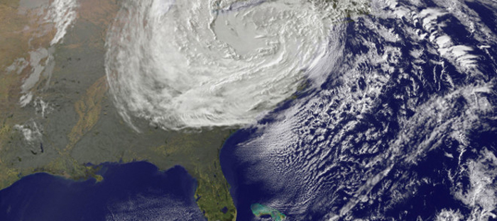
The White House launched a new effort Wednesday (March 19) to make climate data more accessible to the public. Known as the Climate Data Initiative, the endeavor will bring together on one website all federal climate data, such as flood maps, hurricane tracks and predictions of future sea level rise. The goal is to centralize the data and make it easier to access. Even though the information is all free and publically accessible now, it is stored on a multitude of websites that may require bulky software for downloads.
The initiative also includes design competitions to help illustrate how Americans are vulnerable to climate change. For example, at NASA's third annual International Space Apps Challenge in April, the agency will include a new challenge focused on coastal flooding, NASA Chief Scientist Ellen Stofan said at the Climate Data Initiative launch yesterday. The challenge encourages entrepreneurs, technologists and developers to create visualizations that will help people understand their vulnerability to coastal flooding and inundation.
Read more: Climate Data Initiative
Email Becky Oskin or follow her @beckyoskin. Follow us @livescience, Facebook & Google+.
Get the world’s most fascinating discoveries delivered straight to your inbox.


