Gallery: 'Street View' of Denali National Park
Bears and Buses
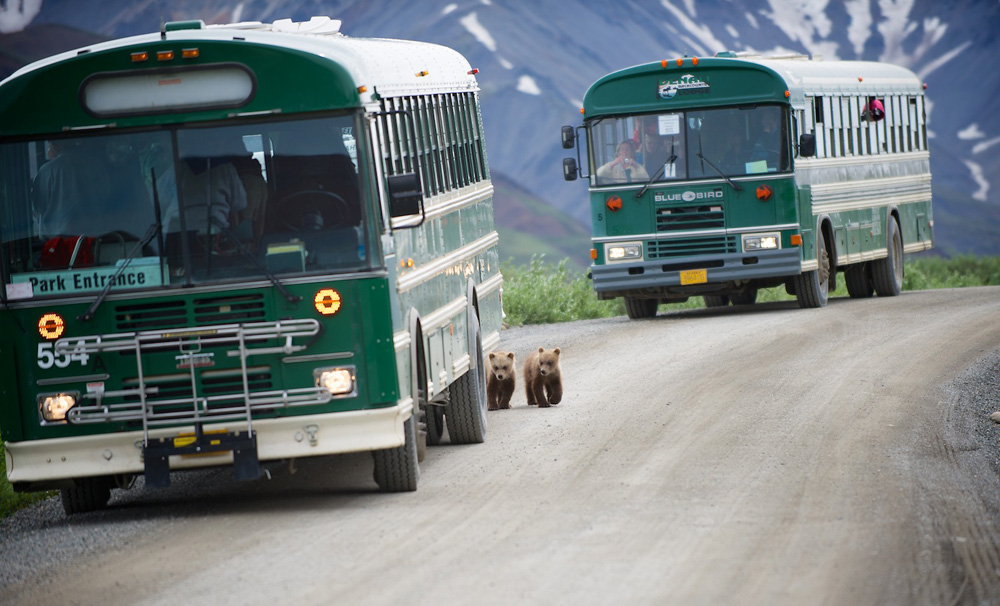
Bear cubs pad between park buses on July 3, 2012 in Denali National Park and Preserve. A new project seeks to monitor the landscape around the park's only road for environmental change.
Denali Caribou
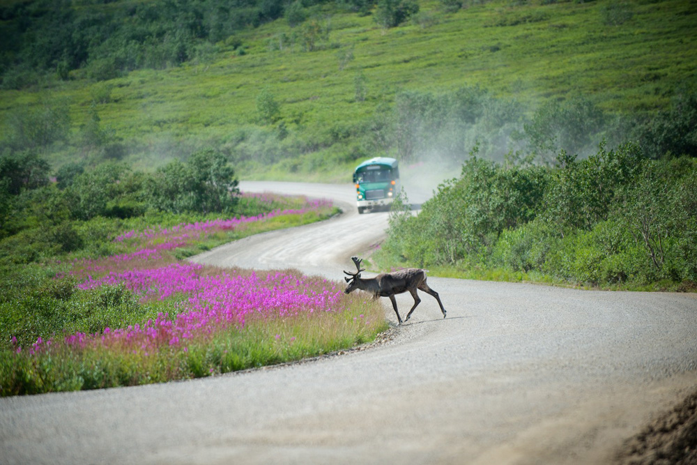
A caribou crosses the road at Sable Pass in Denali National Park in front of a park bus. Only park vehicles are permitted on most of the park road.
Denali Landslide
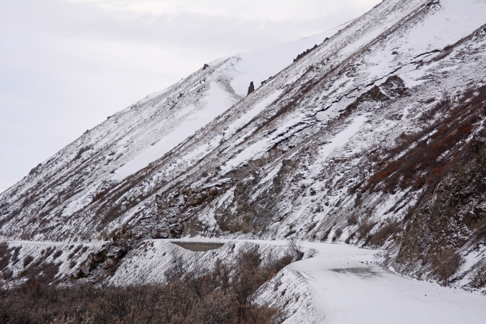
A landslide covers part of Denali's Park Road 37 miles (60 kilometers) from the entrance to the park. The slide was discovered on Wed., Oct. 23, 2013.
Blocked Denali Road
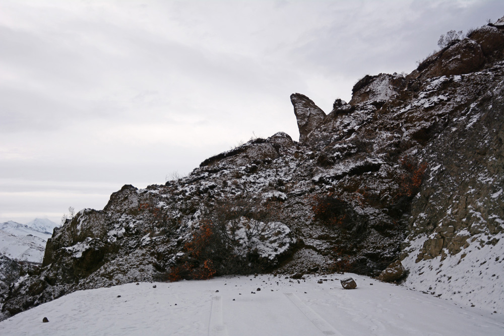
Road crews have cleared this slide, which blocked part of Denali's Park Road that was already closed for the season.
Investigating Denali's Landslide
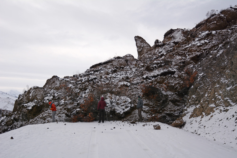
Park officials investiagte a landslide discovered on Oct. 23, 3013. By early November, crews had cleared the road.
Major Denali Landslide
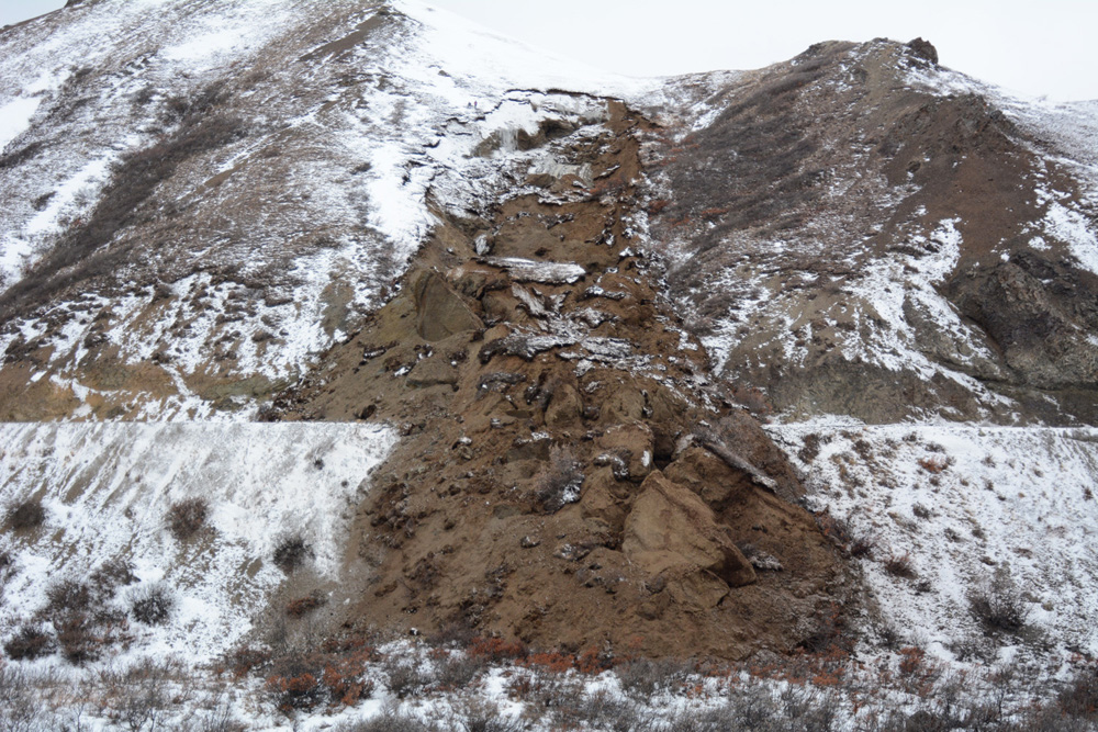
An image of the Denali Park Road landslide, which moved tons of soil and rock over the park's only road.
Before the Landslide
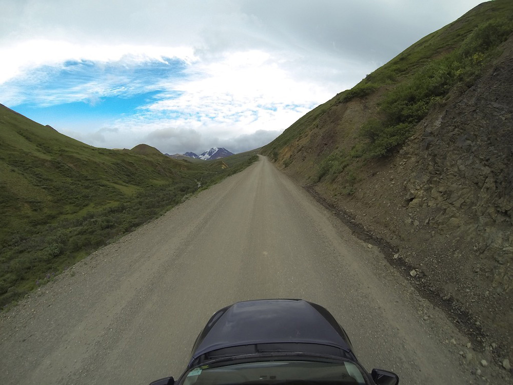
An environmental monitoring project undertaken in the summer of 2013 reveals this groundwater seep along the Park Road at the point where the landslide occured. This seep could have been an early clue that the ground at this spot was unstable.
Get the world’s most fascinating discoveries delivered straight to your inbox.
Pre-Landslide Seep
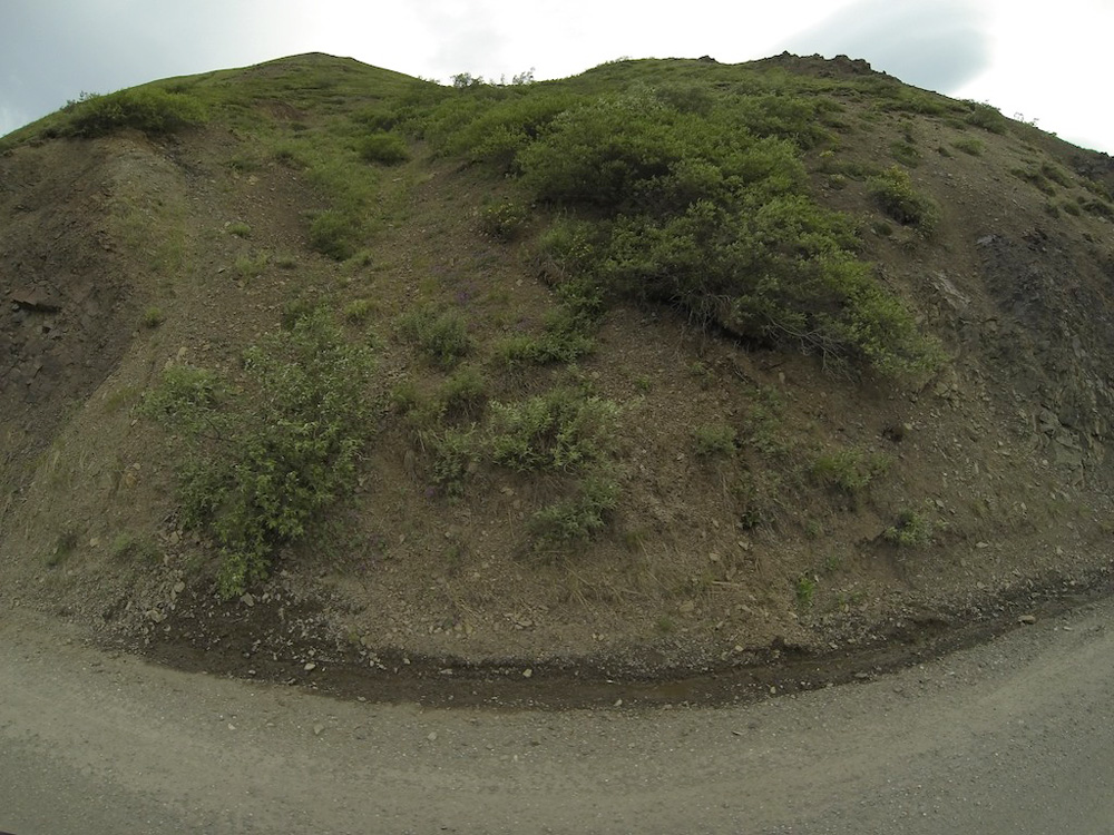
Seeping groundwater in summer 2013 marks the spot where a landslide would occur over the next winter.
Ron Karpilo
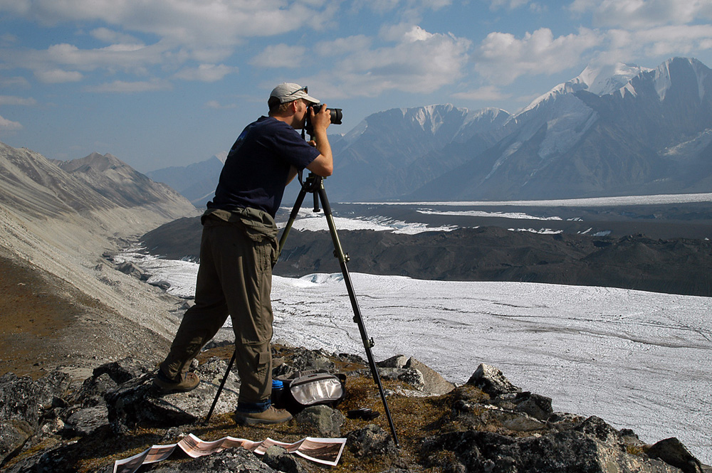
Geologist Ron Karpilo has been photographing glaciers and landscapes in Alaska to track the receeding ice over time. Here, he snaps a shot of Muldrow Glacier in Denali National Park.
Polychrome Glaciers in 1916
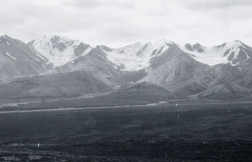
July 18, 1916, Polycrome Glaciers, Denali National Park and Preserve, Alaska, United States. Image made by U.S. Geological Survey geologist Stephen Reid Capps. Geologist Ron Karpilo takes modern photographs from the same angle as old USGS shots, providing a record of ice loss in Alaska.
Polychrome Glaciers Today
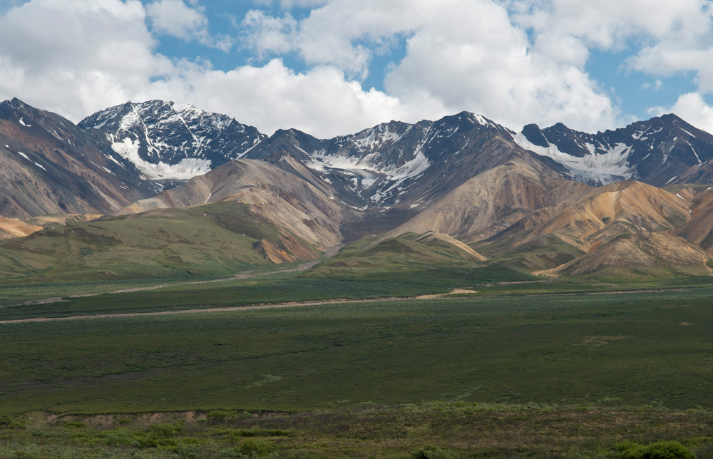
Ron Karpilo's June 2011 photograph of the Polychrome glaciers from the same angle as the 1916 photograph reveal how much the ice has retreated.

Stephanie Pappas is a contributing writer for Live Science, covering topics ranging from geoscience to archaeology to the human brain and behavior. She was previously a senior writer for Live Science but is now a freelancer based in Denver, Colorado, and regularly contributes to Scientific American and The Monitor, the monthly magazine of the American Psychological Association. Stephanie received a bachelor's degree in psychology from the University of South Carolina and a graduate certificate in science communication from the University of California, Santa Cruz.
 Live Science Plus


