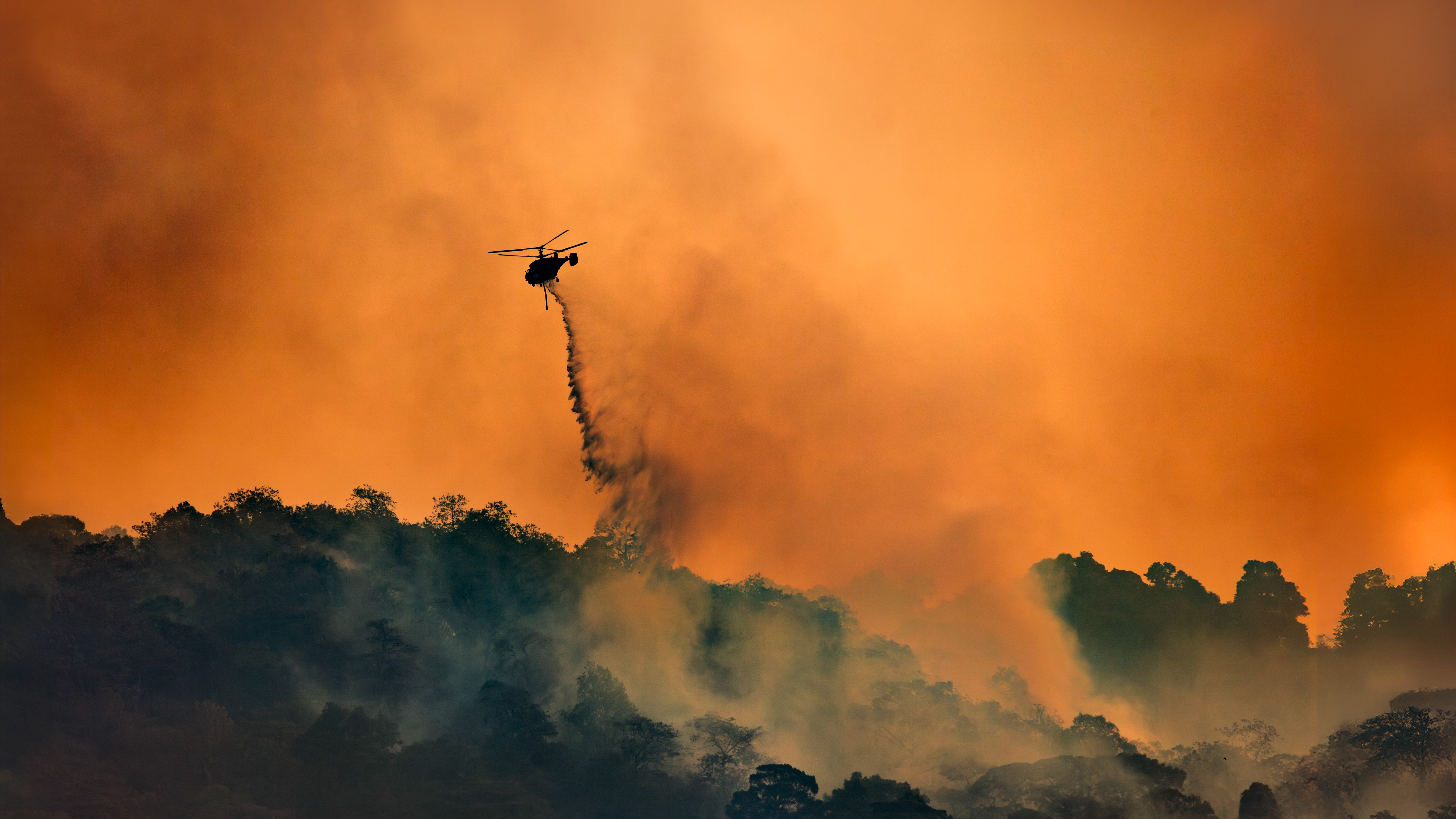
In Photos: 7 Scenic Summer Drives
Summer Maine
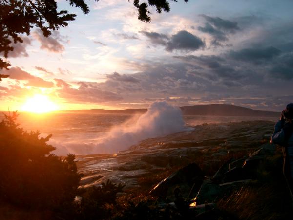
It's summer in America, which means it's road trip season. Time to gas up (or plug in!) the car, throw caution to the wind and hit the pavement for some carefree travels.
These seven trips offer up a visual feast for your eyes, showcasing some of the most scenic drives and interesting geography in the United States for the perfect summertime getaway.
Northern California Coastline Highway 1 from San Luis Obispo to San Francisco
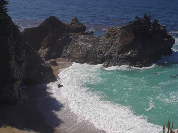
This drive offers more than 200 miles (320 kilometers) of sandy beaches, dramatic cliffs and, if you time your trip accordingly, maybe a breathtaking sunset. This stretch of highway provides incredible views of the Pacific Ocean , with multiple opportunities for gorgeous photos in state parks along the way.
In particular, McWay Falls in Julia Pfeiffer Burns State Park is a stunner. In the image above, you can make out the cascade on the left-hand side of the scene. Although the falls are darkened by afternoon shadows in this picture, later they will be lit by the orange glow of the setting sun.
The park's inlets are alive with a rich variety of sea birds, while sea otters, sea lions and harbor seals make occasional appearances.
If you have the chance to return to the park in winter months, you can catch sight of gray whales heading south to their breeding grounds. The massive mammals, which can reach lengths of 45 to 46 feet (13.7 to 14 m), even have been known to make their way into the park's cove.
Park Road Letchworth State Park, N.Y.
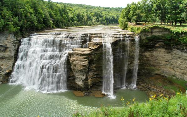
A hidden gem less than an hour's drive south of Rochester, N.Y., Letchworth State Park is home to what some have dubbed "The Grand Canyon of the East."
Park Road follows the winding Gennessee River, which, over millennia, has carved steep gorges through the rock. The river tumbles over three dramatic waterfalls, one more than 100 feet (30 meters) tall.
Part of a shallow seabed tens of millions of years ago, the steep shale and sandstone cliffs in the park are the erosional remains of the oldest mountain range in the world, the Appalachians. After sea levels receded, mighty glaciers brought a covering of gravel and sand to the region, and helped shape the rocky landscape you can see today.
The Denali Highway Alaska
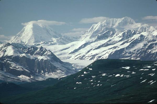
Instead of seeing a glacier's handiwork millions of years after the fact, along the remote Denali Highway you can see glaciers in action (although you'd have to watch for a very long time to see them actually move).
This remote 135-mile (217-kilometer) gravel road offers spectacular views and plenty of alone time. See the Gulkana, Gakona and Maclaren glaciers, the vast Alaska Range, and the northernmost active volcano of the Pacific Rim, Mount Wrangell.
This wilderness track is open only from May through October, and even during the summer months some rental car companies won't subject their vehicles to the isolated, potholed route. The area is so remote that rescuing a stranded driver can cost thousands of dollars.
The east-west trek begins at Paxson Lodge on the Richardson Highway, and concludes at the Cantwell junction on the Parks Highway.
Everglades and the Keys Florida
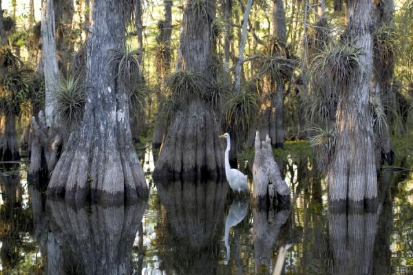
Start off with the 76-mile (122-kilometer) round trip down and back through Everglades National Park, where you can witness an ecosystem in flux. It's here that the temperate North American climate transitions to warmer Caribbean conditions, and the ramble through the park features a riotous mix of flora and fauna, from mangrove forests to prairies, panthers to manatees. And, of course, alligators lurk in the Everglades waters.
After the turn through the Everglades, turn south and head down U.S. Route 1, a highway that hopscotches across the Florida Keys, extending across open ocean between islands for miles at a time. Many of the keys have state parks with sandy beaches, where you can find a variety of bizarre creatures left behind by the tides.
Park Loop Road, Maine
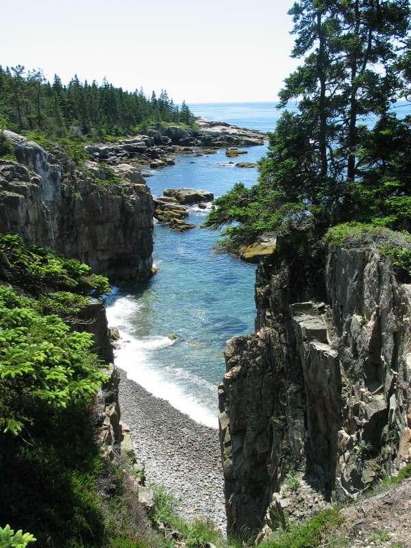
This 27-mile (43-kilometer) drive through Acadia National Park , on Mount Desert Island off of Maine's northeast coast, wends through a virtual smorgasbord of nature's best eye candy. The trip offers up stark ocean views, sandy beaches, fresh water habitats, hardwood and pine forests and Cadillac Mountain, the highest point on the United States' Atlantic seaboard. The mountain offers the country's first glimpse each morning of the sun peeking over the horizon.
The juxtaposition of ocean and freshwater habitats makes this drive a treat for both the eyes and the ears. The region is alive with the chatter of birds from sea-dwelling guillemots and eiders, to the loons that make their nests on the tiny islands in the ponds that dot the island. Their songs are loudest at dawn and dusk.
Crater Rim Drive, Chain of Craters Road, Mauna Kea Summit Island of Hawaii
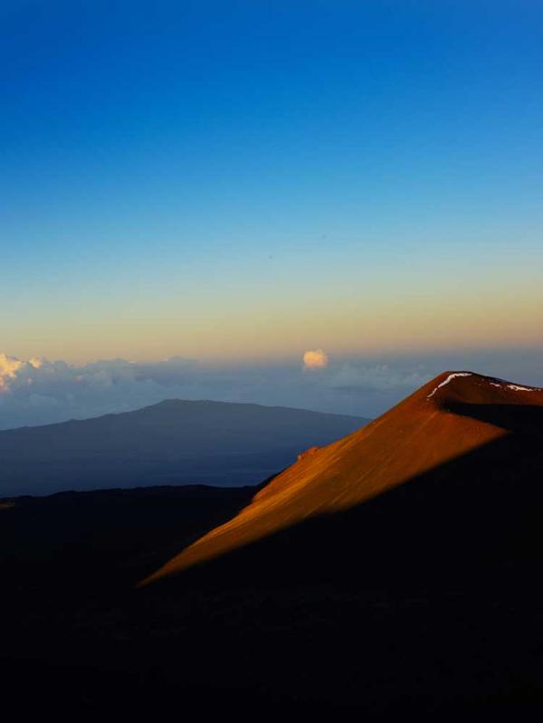
This drive takes you through Hawaii Volcanoes National Park, and the many steam vents along the way let you know that these are not idle mountains. You may even see some actual eruptions .
If you happen to have a four-wheel-drive vehicle, you can attempt the climb to the top of Mauna Kea, more than 13,000 feet (4,200 meters) high.
The mighty Keck Telescope, one of the largest in the world, is housed in an observatory atop this mountain. The conditions here are ideally suited for stargazing. The high elevation cuts down on air currents that can interfere with the telescope's ability to capture the faint light from distant stars and galaxies.
Get the world’s most fascinating discoveries delivered straight to your inbox.
State Highway 64 Arizona
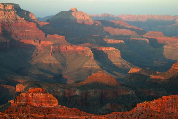
No list of scenic spots in the United States would be complete without the Grand Canyon. Route 64 takes visitors along the southern rim and allows for good views of the Canyon's mile-high geological strata, evidence of the tectonic action that has pushed up the surrounding plateau for millennia, giving the Colorado River plenty of rock to cut through.
The storied canyon is 277 miles (445 kilometers) long, with an average depth of 4,000 feet (1,200 meters). Scientists began studying the geology of this natural wonder back in 1858, and research continues today. However, more than 150 years of intellectual inquiry pale in comparison to the nearly 2 billion years' worth of geological history exposed in the gorge's weathered cliffs.
The national park hosts around 5 million tourists every year, so make sure you bring your camera and your people skills if you're road-tripping to the Grand Canyon this summer.
