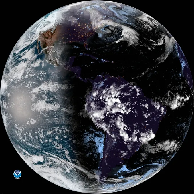
A stunning video from space shows a winter storm — also known as a "bomb cyclone" — slamming into the northeast United States today (March 2). Flooding and sheets of snow and rain accompanied the storm, along with strong waves along the coasts.
The images from the GOES (Geostationary Operational Environmental Satellite)-East satellite show the storm developing and morphing since Tuesday (Feb. 27). Clouds concentrate over the east coast and linger there, obscuring the view below.
"Take this storm seriously!" the National Weather Service in Boston said on Twitter yesterday (March 1). "This is a LIFE & DEATH situation for those living along the coast, especially those ocean-exposed shorelines."
Latest Videos From
The NWS added that people in "ocean-exposed shorelines" should pay special attention. The service forecast moderate to major flooding, with effects on buildings ranging from structural damage to total destruction.
The storm has roughly 80 million people along its path, with 22 million of those affected by a coastal flood warning, according to CNN. Winds by midday today were blowing faster than 50 mph (80 km/h). Additionally, more than 3,000 flights in the United States were cancelled, particularly in the northeast airports of New York City, Philadelphia and Boston.
The storm is called a "bomb cyclone"; its name is a nod to the process — "bombogenesis" — that forms it. Bombogenesis happens when the storm's central low pressure plunges by at least 24 millibars (an atmospheric pressure measurement) in 24 hours, states the National Oceanic and Atmospheric Administration (NOAA).
This storm, however, was expected to lose between 30 and 35 millibars in 24 hours, Greg Carbin, branch chief of forecast operations for the NWS' Weather Prediction Center, told Live Science.
Coincidentally, the GOES-East satellite captured this imagery just as a sister orbiter rocketed into space. Yesterday (March 1), the GOES-S satellite lifted off from Cape Canaveral Air Force Station in Florida. Its ultimate destination is a location above the eastern Pacific Ocean. NASA and NOAA jointly operate the GOES satellites.
Follow us @Spacedotcom, Facebook or Google+. Originally published on Space.com.

 Live Science Plus