It was a frigid Christmas in much of the United States.
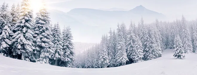
Chicago and Minneapolis both experienced their coldest December 25ths in decades. Erie, Pennsylvania weathered a stunning lake-effect storm that dumped more than 4 feet (1.2 meters) of snow on the city, shattering state records and prompting the local government to declare a snow emergency. And both Portland, Oregon and Seattle had a rare white Christmas.
The below-average temperatures are the result of a mass of Arctic air "buckling" southward from northern Canada toward the eastern U.S., said Robert Oravec, a lead forecaster at the National Weather Service's Weather Prediction Center.
Latest Videos From
"This weather pattern is not unusual or unseasonable," Oravec told Live Science. [Image Gallery: Life at the North Pole]
The buckling air mass is the kind of thing forecasters expect to see a few times in a given winter , Oravec said. Though expected, the air mass can still result in weather far colder than usual for a given time period.
The current Arctic chill should remain in place for "at least another few days," he said.
Forecasters expect very cold weather and biting winds to persist across the northern Plains, the Great Lakes region, and cities along the east coast for much of the next week. Ovarec said that he expects to see Philadelphia and the surrounding region break records for cold temperatures at this point in the year.
Most of the coldest effects of the Arctic chill concentrate east of the Rocky Mountains, because they act as a natural barrier against the flow of this kind of air mass, Ovarec said.
Even though the atmosphere remains thick for thousands of feet above the Rockies, the extreme temperatures of an Arctic mass tend to be very shallow. That means that even a 10,000-foot (3-kilometer) mountain "can act as a natural barrier," he said.
Sooner or later, though, the buckled air flow will return to more northern latitudes, Ovarec said, and the weather in the U.S. should return for the time being to something closer to the average for this time of year.
Originally published on Live Science.