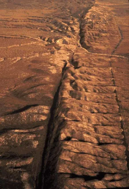
Like slow-moving bookends, two earthquake faults are squeezing northern metropolitan Los Angeles nearly a quarter inch a year, scientists said today.
The big squeeze involves the convergence of the Pacific plate, a vast chunk of Earth's crust, that is sliding under the North American plate. The two converge by 0.2 inches (5 millimeters) every year, the scientists found.
The compression of Los Angeles is monitored by the global positioning system (GPS) and satellites operated by the European Space Agency (ESA).
Latest Videos From
Natural act
The study took into account ground movement caused by human activity, such as oil drilling and pumping water into and out of local aquifers, which compresses the ground over time and parts of the state to sink.
The new results, published in the Journal of Geophysical Research, suggest human-caused motions are very slow. The significant convergence in the region is therefore due to natural forces, the scientists conclude.
The bottom line: The strain will ultimately be released in earthquakes much like the 1994 Northridge temblor, the scientists believe.
"These findings remove uncertainty about the rate at which strain is building up in northern metropolitan Los Angeles," said study leader Donald Argus at the University of California at Los Angeles. "In addition, by taking into account the effects of humans and observations from the many new global positioning system sites established in the past few years, we can identify the areas where strain is building the fastest."
More study is needed to pinpoint where any earthquakes might occur.
"Nevertheless, these data have important implications for hazard management and retrofitting strategies," Argus said.
NASA scientists contributed to the research.
Next quake?
The strain is rapidly accumulating within an area 7.5 to 16 miles (12 to 25 kilometers) south of the San Gabriel Mountains, primarily in the San Gabriel and San Fernando Valleys and nearby hills, they found. The region is located between the Puente Hills fault, which begins south of downtown Los Angeles and extends east, and the Sierra Madre fault, which runs along the base of the San Gabriel Mountains.
The Los Angeles segment of the Puente Hills Fault is being squeezed the most. It and nearby faults in the area, such as the upper Elysian Park Fault, may be more likely to break than those elsewhere in metropolitan Los Angeles, the scientists said.
Previous studies have estimated the Puente Hills Fault might generate an earthquake of magnitude 6.6 to 7.5.
The data, from satellites and ground stations, was compiled to make a computer model of strain on the faults related to the pace with which each one creeps and the depth where the faults are locked. When strain builds to a certain threshold, geologists know, the faults snap.
On the Web
Daily Earthquake Forecasts for California