A tsunami warning and advisory have been canceled for Hawaii after a 7.7-magnitude earthquake that struck off the west coast of Canada Saturday night local time sent small tsunamis to southeast Alaska, coastal British Columbia and off Haida Gwaii, formerly called the Queen Charlotte Islands.
The National Weather Service had initially issued a tsunami warning to these areas, though later canceled it for coastal areas of British Columbia and southern Alaska, while downgrading the warning to an advisory for Hawaii. The advisory was canceled Sunday morning Eastern Time.
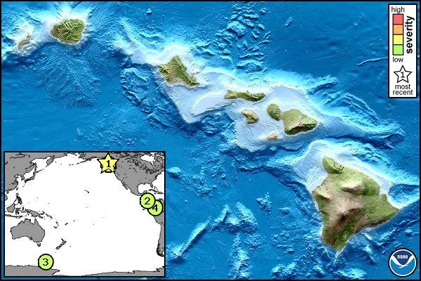
Waves hitting Hawaiian shores were smaller than expected, according to news reports.
Latest Videos From
Measuring just 4 inches (10.2 centimeters) in height, the first wave of the small tsunami hit the community of Craig in southeast Alaska, according to the National Weather Service, as reported by NPR.
The public station also reported a 27-inch (69-cm) wave recorded off Langara Island on the northeast tip of Haida Gwaii, and another, a 21-inch (55-cm) wave hitting Winter Harbor on the northeast coast of Vancouver Island.
The largest of the waves, according to Discovery News, rose to about 2 feet (0.6 meters) in height (relative to normal sea level) and struck Maui's Kahului beach at 10:47 p.m. local time Saturday (0847 GMT Sunday).
The earthquake responsible occurred south of Masset, Canada, near the boundary between the Pacific and North American plates, a boundary considered Canada's equivalent of the San Andreas Fault, according to Natural Resources Canada.
"This earthquake is likely associated with relative motion across the Queen Charlotte fault system offshore of British Columbia, Canada," according to the U.S. Geological Survey (USGS). Plate motions in this area usually involve so-called strike-slip faulting in which the two plates move mostly horizontally to one another, as well as lesser amounts of thrust motion in which one plate pushes beneath the other.
The region has experienced seven earthquakes of magnitude 6 or greater in the past 40 years, according to the USGS, with the largest occurring in 2009 when a magnitude-6.6 temblor struck 50 miles (80 km) southeast of the most recent earthquake. And in 1949, a magnitude-8.1 earthquake occurred about 62 miles (100 km) northwest of the most recent one.
Follow LiveScience on Twitter @livescience. We're also on Facebook & Google+.

 Live Science Plus