
In Photos: Arizona's Superstition Wilderness
Rugged terrain
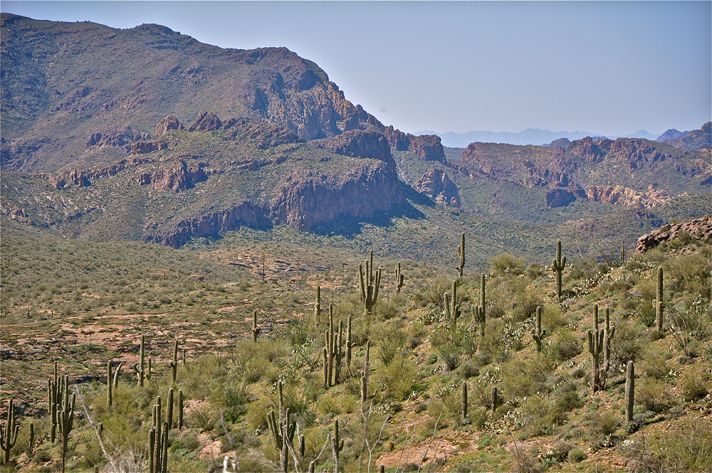
The Superstition Wilderness of central Arizona is one of the most rugged and undisturbed areas of the American West. The area ranges in elevation from approximately 2,000 feet (6010 m) above sea level along its western border to the 5,074-foot-high (1,547 m) summit of Superstition Peak. The vast majority of the wilderness is covered with Sonoran Desert-type vegetation with a few isolated pockets of ponderosa pine found at the highest elevations.
Diverse terrain
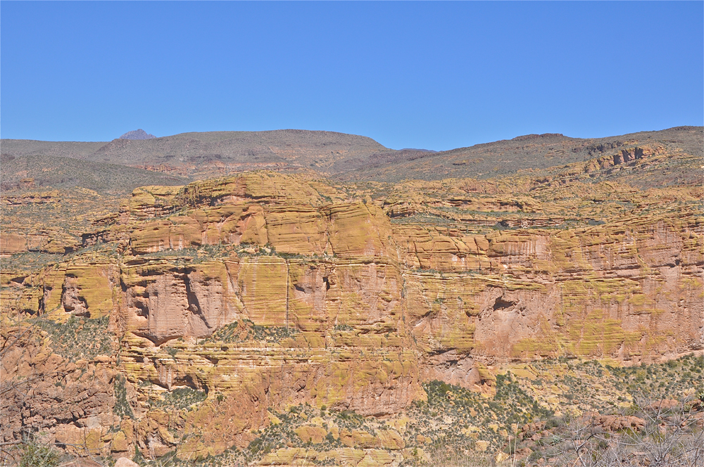
The wilderness is some 242 square miles (627 square kilometers) in size. In the western section, rolling hills are interspersed with steep, often vertical cliffs. In the eastern and central portion of the wilderness, the terrain is less diverse, and extensive stands of semi-desert shrubs and grasses cover the landscape.
Weather extremes
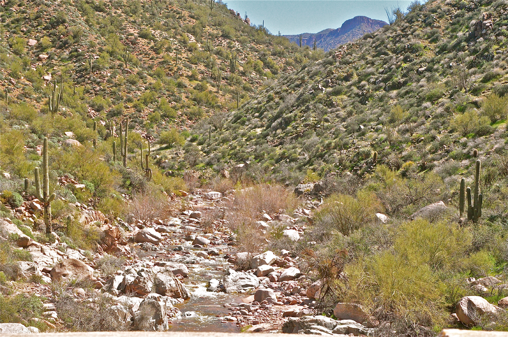
The Superstition Wilderness is known for its extreme heat during the summer months, which gives way to bitter, cold storms come winter. Snowstorms are infrequent but can occur, especially in the higher elevations. Fresh water is a rarity even though the whole region is crossed with dry desert arroyos giving evidence to the raging walls of water that can rush through the many wilderness canyons.
Weaver's Needle
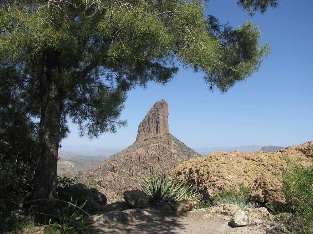
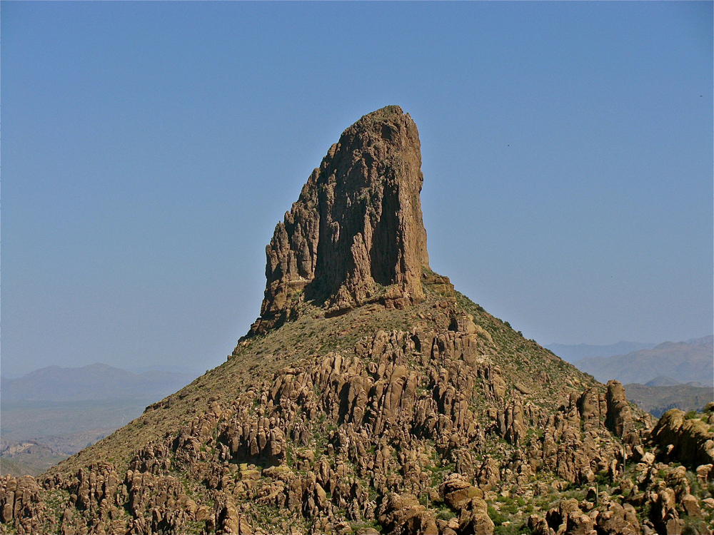
Weaver's Needle is the iconic topographic feature of the Superstition Wilderness. This deeply weathered, thick layer of volcanic tuff (or fused volcanic ash) rises some 1,000 feet (300 m) above the surrounding desert floor. The famous landmark is named after mountain man Pauline Weaver, who first explored this wilderness in 1831.
Local legends
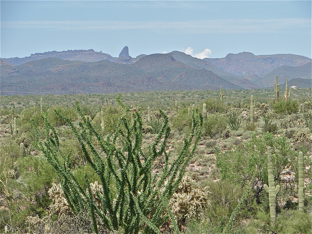
The summit of Weaver's Needle has an elevation of 4,553 feet (1,388 m) above sea level. This distinctive tuff monolith can be seen for distances up to 25 miles (40 kilometers) from its rugged desert location. A long-held local legend contends that on a particular date at a particular time, the tip of the shadow cast by Weaver's Needle falls upon the entrance of the fabulously rich Lost Dutchman's Gold Mine. Modern day gold seekers still walk this wilderness hoping to find the Dutchman’s treasure.
Superstition Mountain
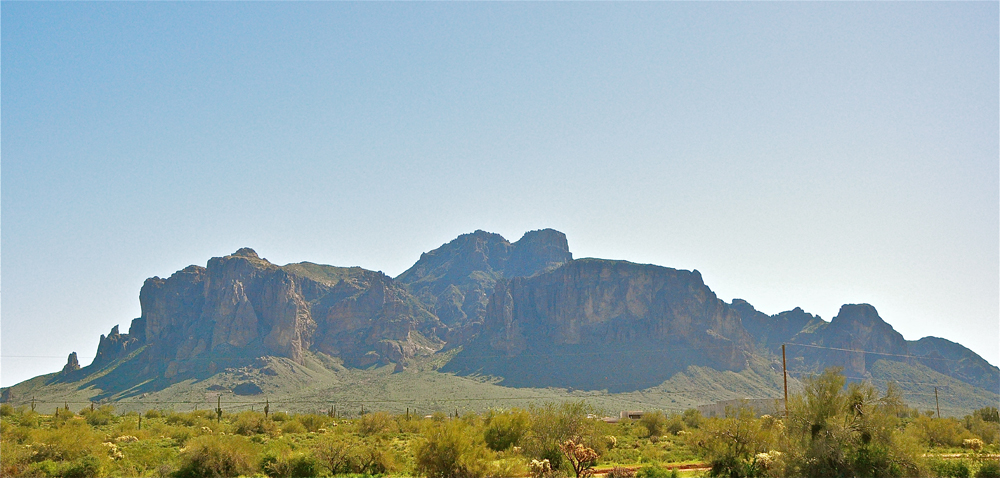
Most historians now agree that the name 'Superstition' first came from the early farmers who tilled the desert soil along the Salt River in the late 1860s. The indigenous Pima people were superstitious about ever entering these uncompromising mountains and shared their fears with the American farmers. The people of the small farming community, now known as Phoenix, called the tall, sheer cliff mountain that dominates the town’s eastern horizon the Superstition Mountain.
Ancient volcanic layers
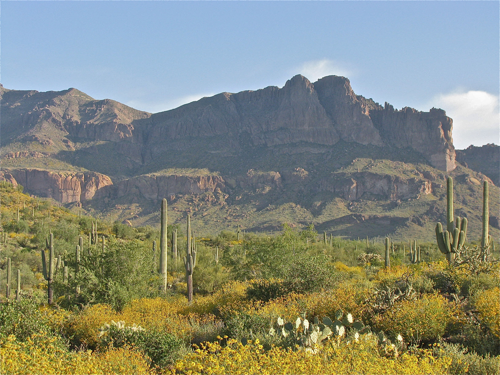
Geologists think that the mountains of the Superstition Wilderness are between 15 million and 29 million years old. Most of the rocks found within the wilderness are volcanic in origin and are the result of alternating layers of basalt and ash.
Get the world’s most fascinating discoveries delivered straight to your inbox.
Beauty from time
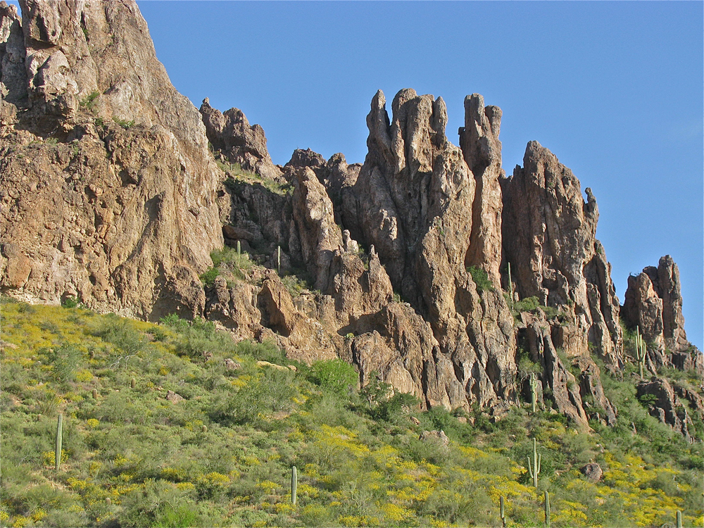
Current evidence suggests that these mountains were once a part of a large caldera that resurged and formed a massive mountain. The elements of weathering and erosion then began their work, and, after millions of years, resulted in the mountains we see today.
Grandeur recognized
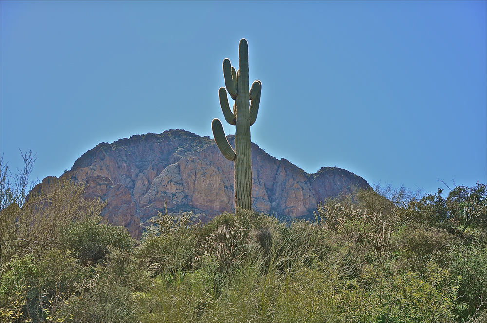
The grandeur of this area has long been recognized. In 1939 its was designated as an official Primitive Area, then in 1940 as a Pre-Wilderness, and an official Wilderness Area in 1964.
Well-traveled trails
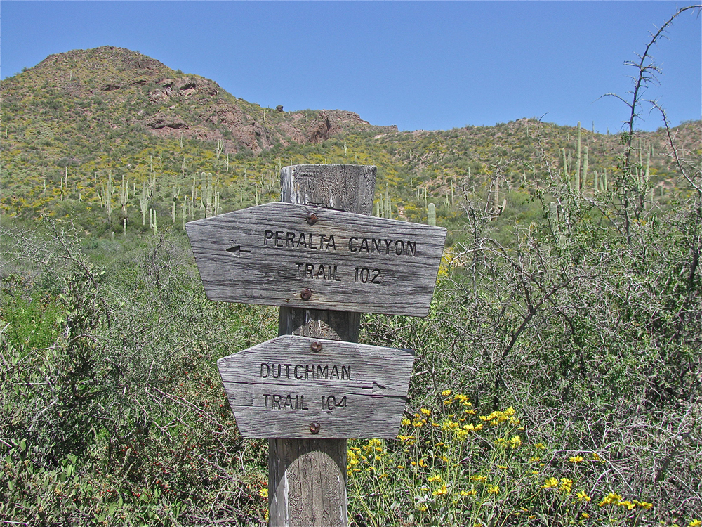
Roads are prohibited in a national wilderness area, so people experience the Superstition Wilderness through a series of 46 official trails. Currently there are 140 miles (225 km) of improved trails within the wilderness and some 100 miles (160 km) of unimproved trails. Over 80 percent of humans who enter the Superstition Wilderness today use either the Peralta or First Water Trails, making both trails highly overused.
Secrets still hidden
Today, this vast wilderness of the Sonoran Desert remains virtually unchanged and in many ways, untouched by the 3.4 million people who now live just to the west in what is known as the Valley of the Sun. Its secrets are still hidden from the thousands of gold hunters who still search for that legendary mine. Yet the Superstition Wilderness is always open, beckoning to those who are brave enough to explore one of the few rugged and virtually undisturbed natural places on Earth.
