
 Live Science Plus


Coastal Louisiana Is Sinking Faster Than Expected
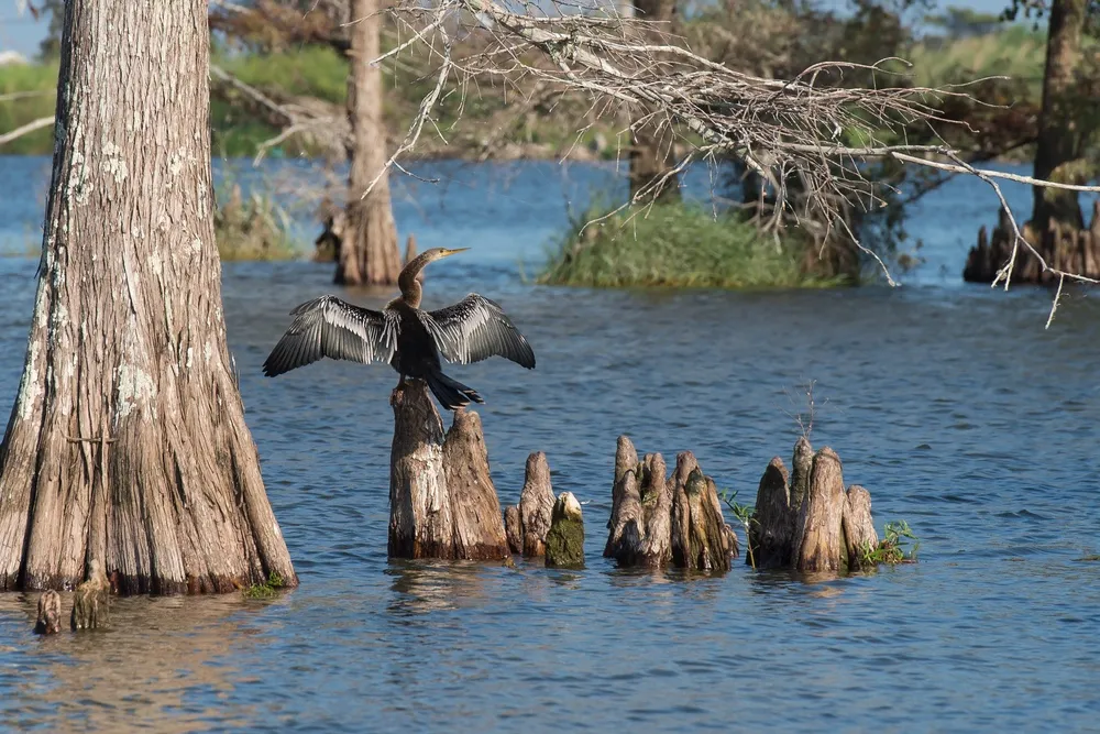
The rich wetlands of southern Louisiana are sinking faster than previously thought, new data reveals, worsening a decades-long ecological disaster that authorities are struggling to reverse.
"What previous studies have called the worst case is the case that right now is the average," said Jaap Nienhuis, a geologist at Tulane University in New Orleans.
Nienhuis and his colleagues at Tulane have found the coast is subsiding on average about 9 mm (1/3 inch) a year. Some areas, such as those near the mouth of the Mississippi and the Atchafalaya River delta to the west, are settling closer to 12 mm a year.

Periodic flooding of the Mississippi River used to dump fresh soil into those marshes, bolstering the wetlands. But the levees that now prevent those floods keep that soil straitjacketed in the river. The area is also home to a major oil and natural gas industry, and canals cut through the marshes allowed salt water to kill grasses that held the land in place.
As a result, coastal Louisiana has been losing a roughly Manhattan-sized chunk every year to a combination of sea-level rise, erosion, and subsidence. That threatens a rich ecosystem that provides more than 1 billion pounds of seafood a year and provides a buffer when hurricanes spin onto shore from the Gulf of Mexico.
RELATED: Coastal Cities at Risk as Rising Seas Trigger Dropping Sea Floor and Dying Coral
For years, scientists had little more than educated guesses about how much the land was sinking. But instruments installed since Hurricane Katrina battered the Gulf Coast in 2005 have now helped Nienhuis and his colleagues develop a map that shows how much different parts of the shore are settling.
Get the world’s most fascinating discoveries delivered straight to your inbox.
Their findings were published recently in the Geological Society of America journal GSA Today. Previous worst-case estimates of coastal Louisana’s subsidence ran about 8 to 10 mm a year — and that’s before sea-level rise is figured in, Nienhuis said.
"We have no indication that the rate of subsidence is going to change going into the future," he said. "But we do know that the other component, sea level rise, is going to increase. So we have reason to assume this picture is going to get worse."
Sea levels are currently rising around 3 mm a year, but that rate is believed to be accelerating because of climate change. Warmer water expands, while melting glaciers and ice sheets in Greenland and Antarctica are expected to contribute more to sea levels in coming decades.
RELATED: Marine Reserves Renew Hope in the Fight Against Climate Change
Louisiana has developed a $50 billion master plan to restore the coast, including plans to divert silt-rich Mississippi fresh water into the marshes, as well as shore up barrier islands and oyster reefs. Nienhuis said his group’s research could help guide state officials as that work moves ahead.
"This is definitely not the end product," he said. "Data collection is still going on, so we can update this map into the future. But right now, you should look at spatial patterns like this to see where you should put your coastal restoration efforts."
Original article on Seeker.