In Photos: Hunting Structure Hidden Beneath Lake Huron
Hidden from view
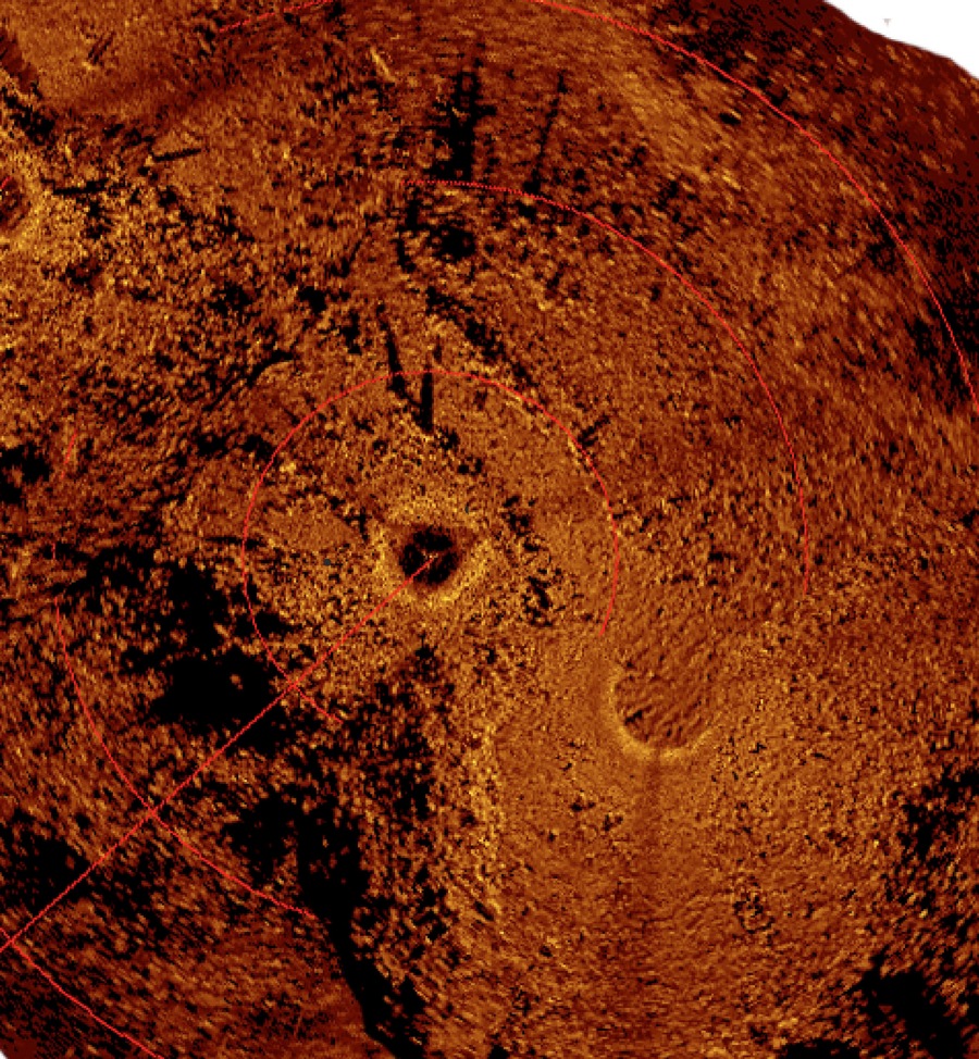
An elaborate array of linear stone lanes and V-shaped structures has been discovered on an underwater ridge in Lake Huron, marking what is thought to be the most complex set of ancient hunting structures ever found beneath the Great Lakes, according to a new report. (Shown here in an acoustic image of the site.)
Huron map
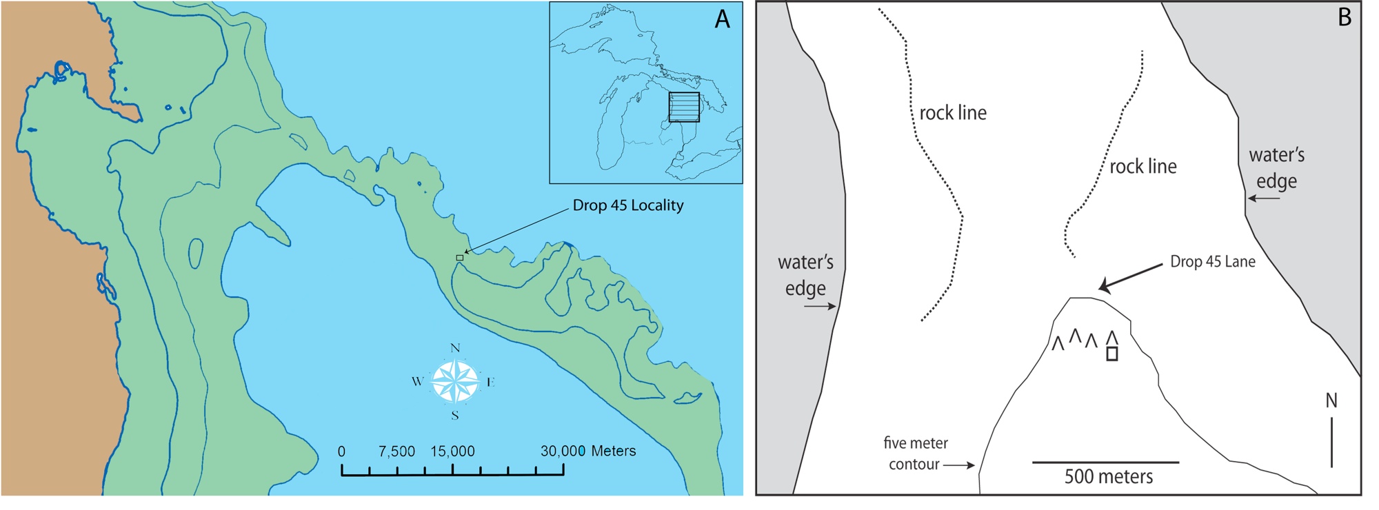
The site, called Drop 45 Drive Lane, consists of two parallel rock-lined paths that would have funneled caribou into an 26-foot-wide (8 meters) lane, with V-shaped hunting blinds perched on a hill above the lane. (Modern land is shown in brown, while areas of exposed dry land some 9,000 years ago are in green.)
Site topography
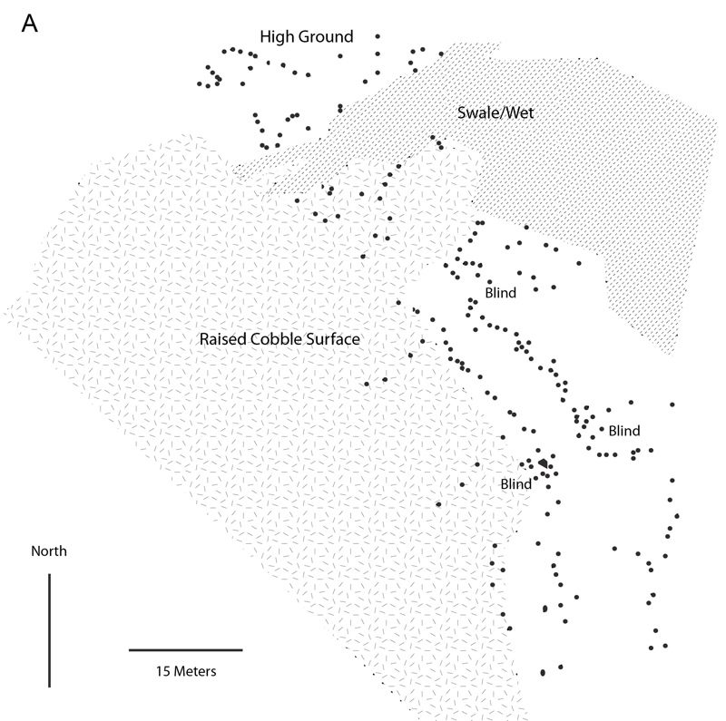
Here, a plan showing the major topographic and cultural features associated with the caribou hunting site beneath Lake Huron. (Placed stones shown with black dots; hunting blinds incorporated within the main site are labeled; and raised cobble surface to the north and west of the drive lane varies also shown.)
Light and Dark
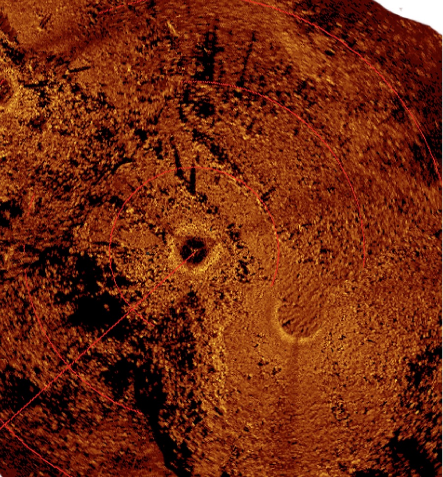
An acoustic image of the ancient caribou hunting site produced via a mosaic of scanning sonar images. (Light colored objects are stones that produce a strong acoustic signature while dark areas are acoustic shadows.)
Scanning the Waters
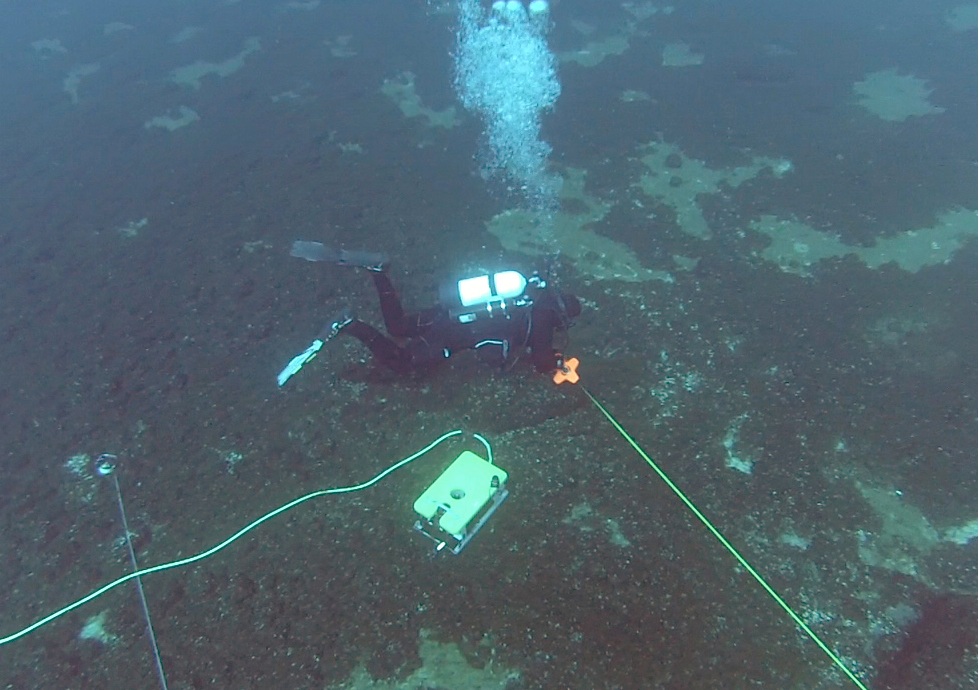
Researchers based at the University of Michigan think the roughly 9,000-year-old-structure helped natives corral caribou herds migrating across what was then an exposed land-corridor — the so-called Alpena-Amberley Ridge — connecting northeast Michigan to southern Ontario. The area is now covered by 120 feet (37 meters) of water, but at the time, was exposed due to dry conditions of the last ice age. Here, a diver and ROV taking measurements at the site.
Lake Huron
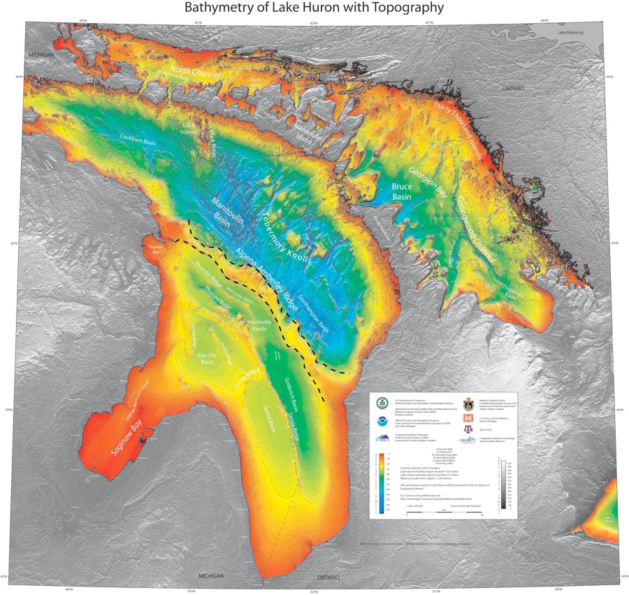
NOAA bathymetric map of Lake Huron with the Alpena-Amberley Ridge indicated by dashed lines.
Bottom of the Lake
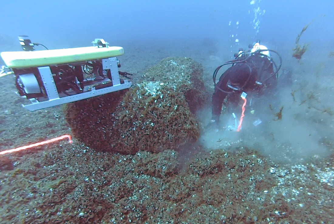
The team also found what appear to be V-shaped hunting blinds oriented both to the southeast and the northwest, and a rectangular area that may have been used as a meat cache, according to the researchers.
Get the world’s most fascinating discoveries delivered straight to your inbox.
Ancient Hunting Blinds
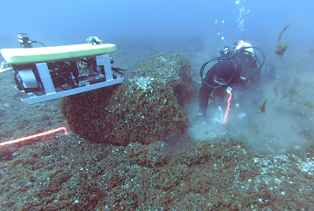
The team also found what appear to be V-shaped hunting blinds oriented both to the southeast and the northwest, and a rectangular area that may have been used as a meat cache, according to the researchers.
Underwater Treasure
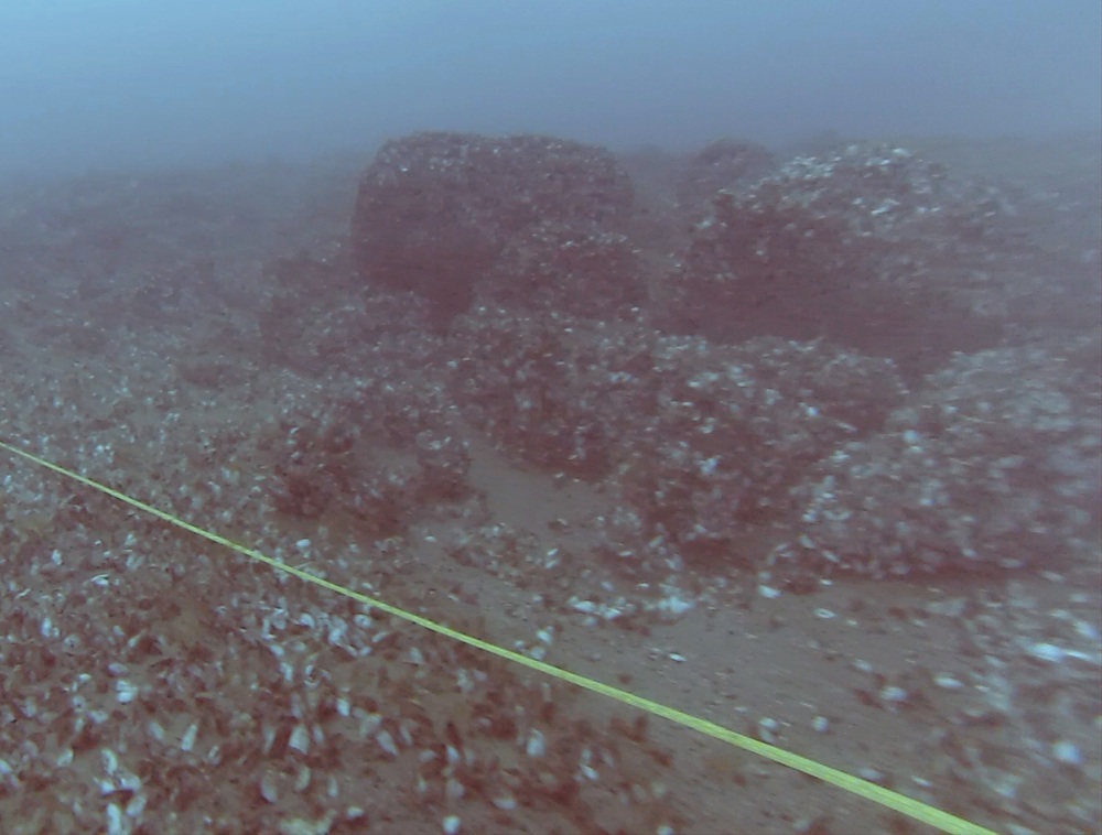
A stacked stone hunting blind that is incorporated into the ancient caribou hunting site found beneath Lake Huron.

