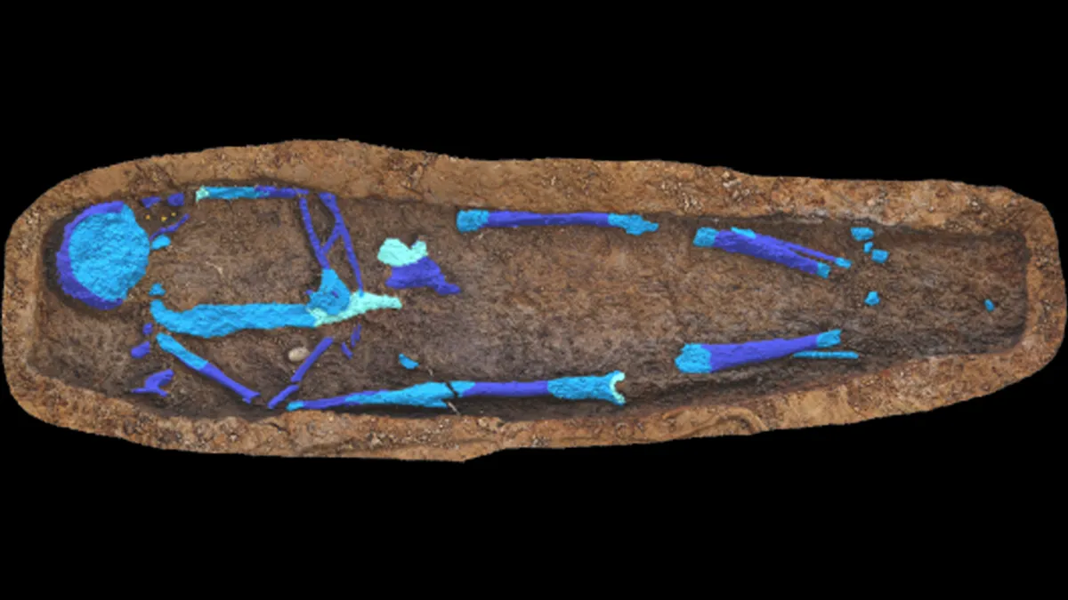
Weapons chest found on wreck of 15th-century 'floating castle' sheds light on 'military revolution at sea'
The chest could shed light on the fire and explosion that sank the vessel.
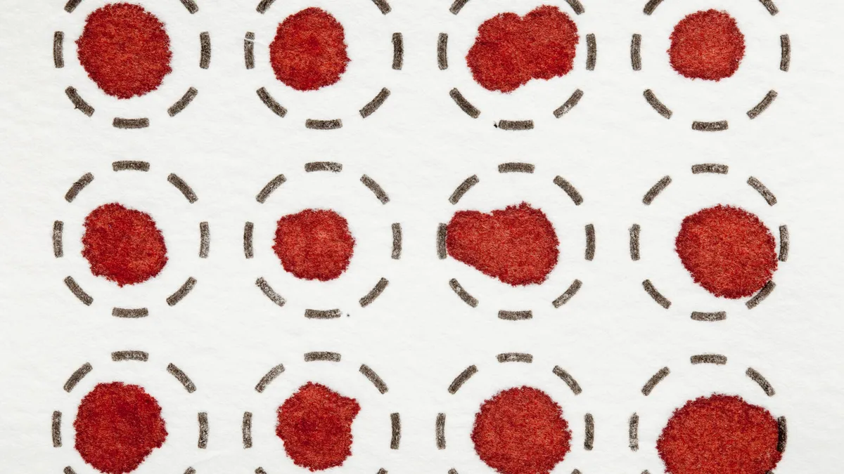
Early tests suggest that a new tool that requires only a single drop of blood could detect three of the deadliest forms of cancer.

Why don't dogs claws retract like felines' do?

The causes range from innocuous media exposure to severe mental illness.

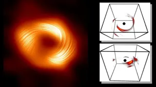
By precisely measuring the mass of neutrinos — ghostly particles that stream through your body by the billions each second — physicists could find some glaring holes in the Standard Model of particle physics. A new experiment has taken them one step closer.
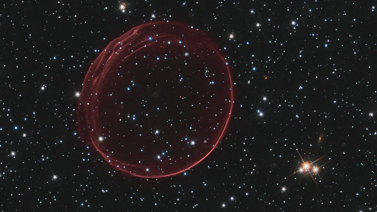
With the nature of the universe's two most elusive components up for debate, physicists have proposed a radical idea: Invisible particles called tachyons, which break causality and move faster than light, may dominate the cosmos.
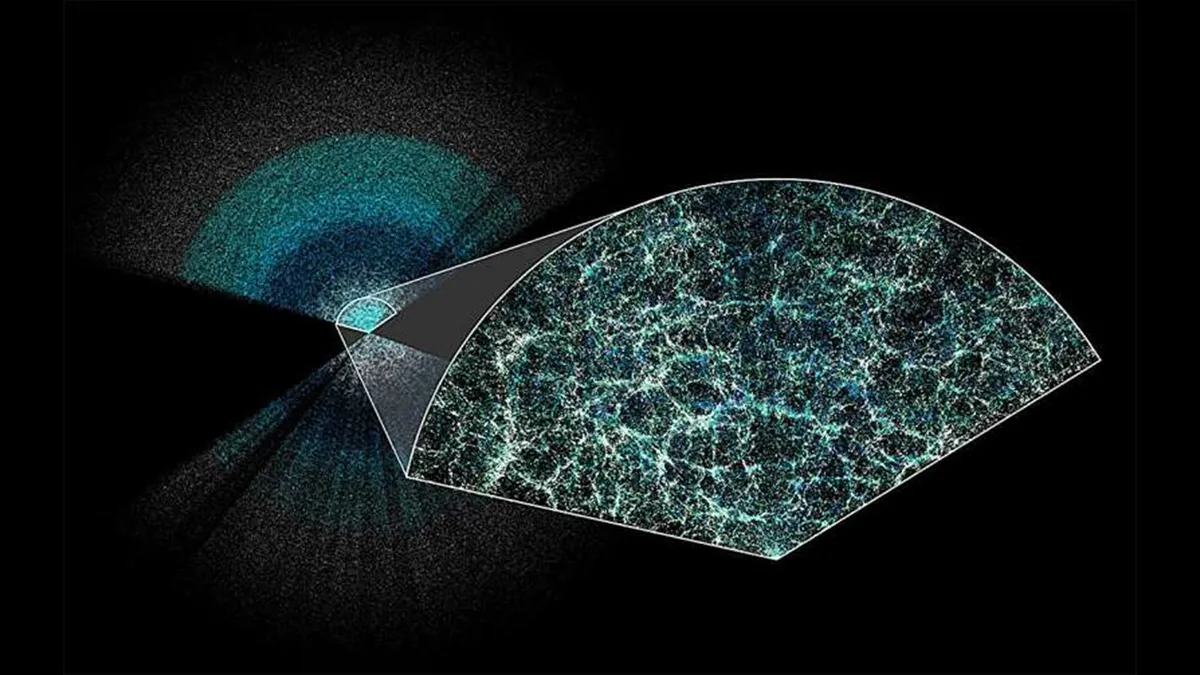
Scientists using the Dark Energy Spectroscopic Instrument have unveiled the largest 3D map of the universe ever. The results suggest that dark energy, the mysterious force pulling the universe apart, may be weakening, challenging prevailing theories of cosmology.
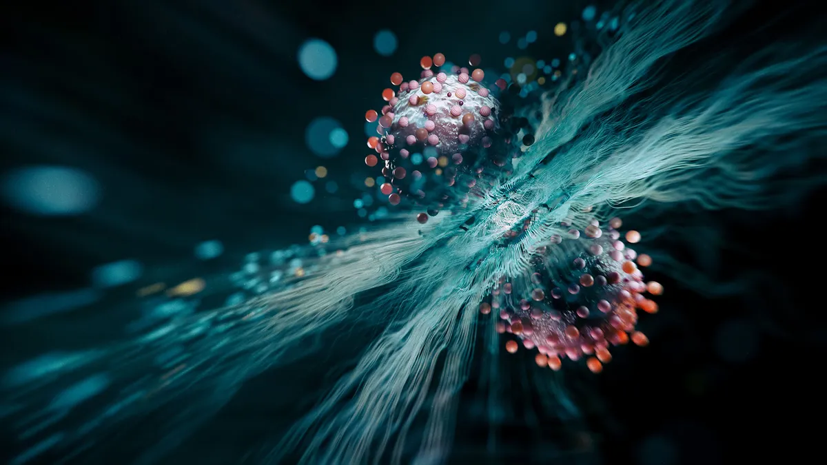
More than two decades ago, scientists predicted that at ultra-low temperatures, many atoms could undergo 'quantum superchemistry' and chemically react as one. They've finally shown it's real.

Deal Save big on a Dr J Professional air purifier for your home at Walmart, now under $100.