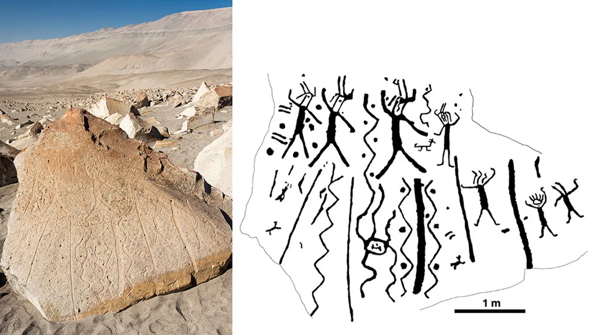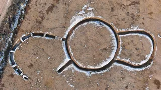
'Unprecedented' discovery of mysterious circular monument near 2 necropolises found in France
The mysterious monument site appears to have been occupied across multiple historical periods.
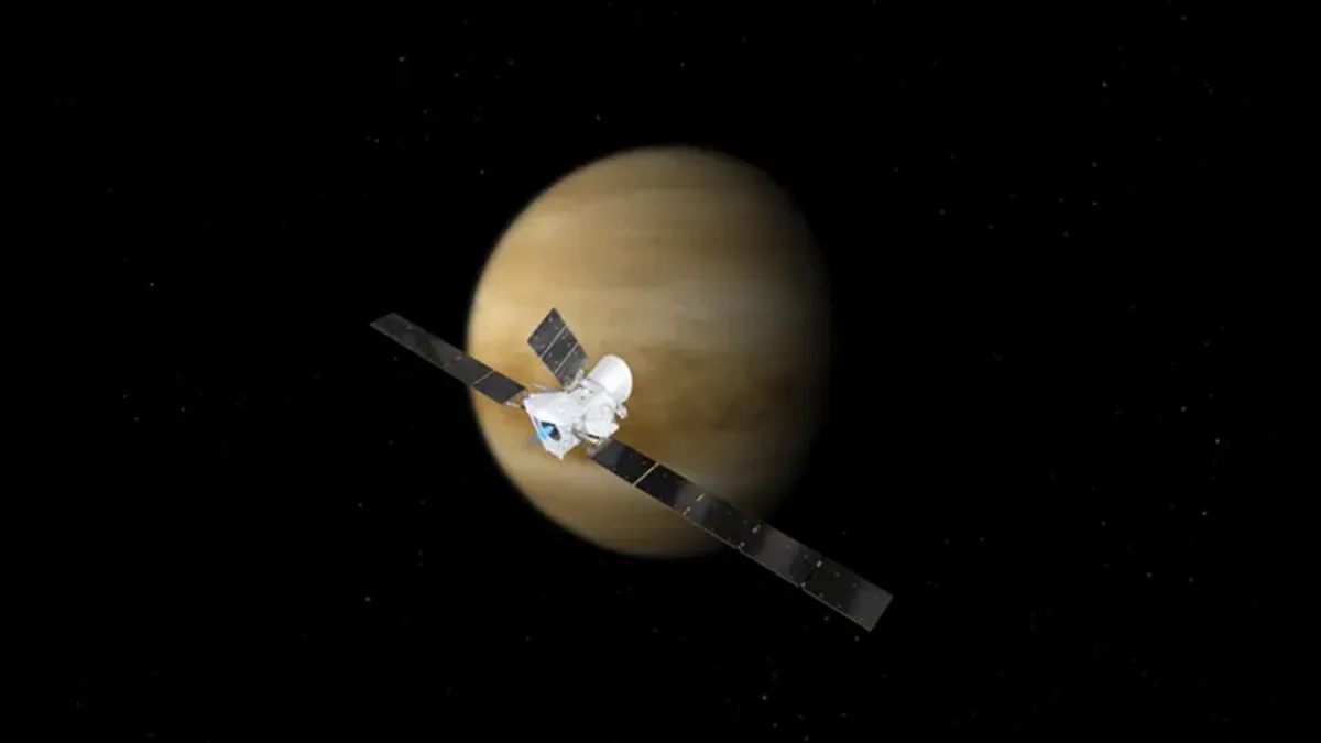
Observations of Venus taken with the BepiColombo space probe show that our cosmic neighbor is leaking significant amounts of carbon and oxygen from its atmosphere, and researchers can't totally explain why.
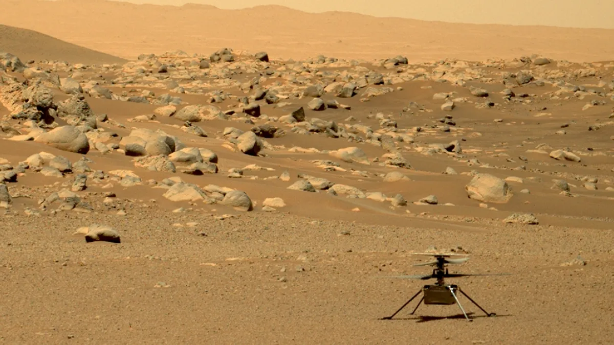
NASA's stranded Ingenuity Mars Helicopter has beamed back its final signal to Earth from the Red Planet, which included a farewell message for mission scientists. It will continue collecting data on Mars until it dies but will not transmit this data to Earth.

"Undead" cells in the placenta that spew proteins may help explain cases of heart failure that happen in late pregnancy and the early postpartum period.
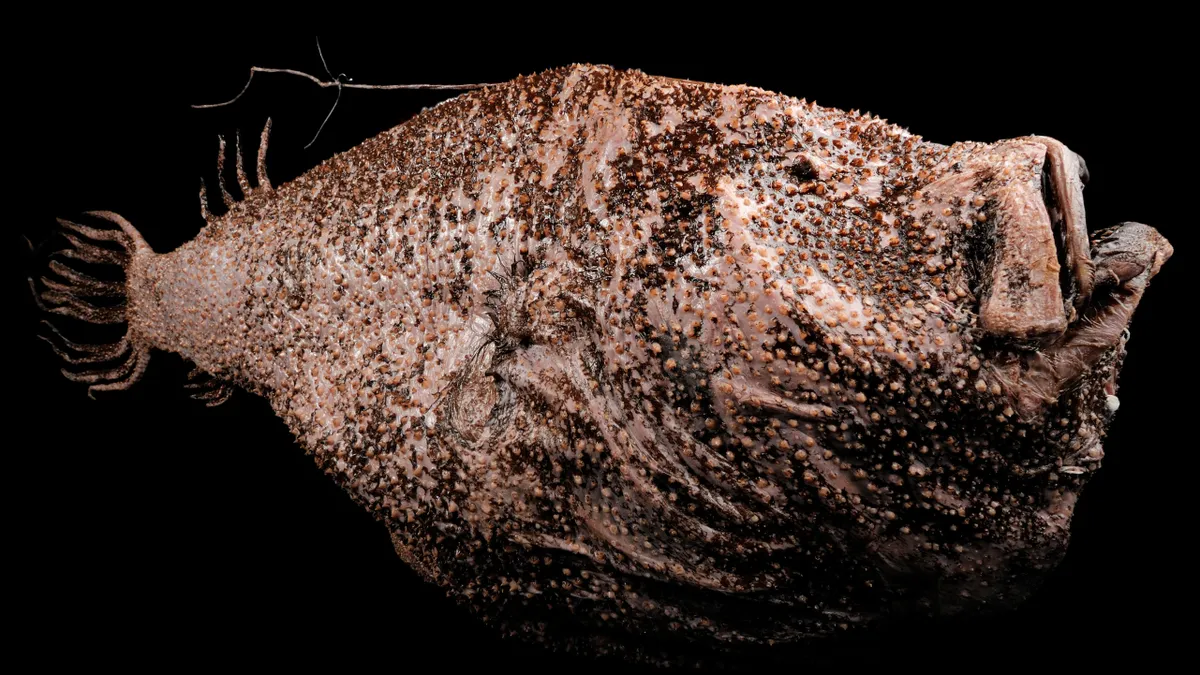
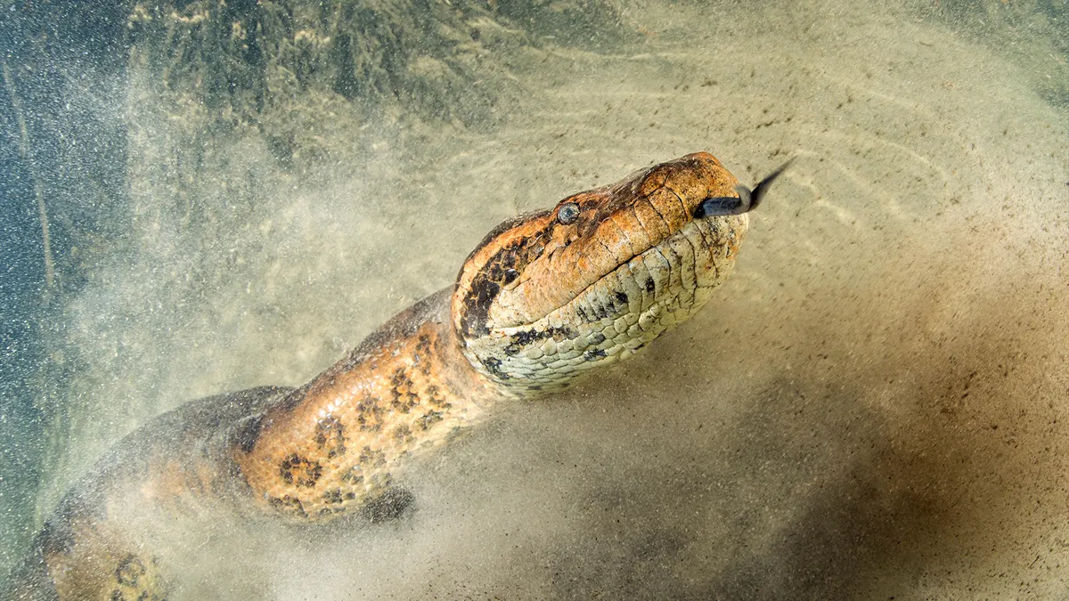
Anglerfish first colonized the ocean's midnight zone 55 million years ago, during a period of extreme global warming, a new study finds. The bizarre fish adapted to thrive in the deep sea by becoming sexual parasites, the researchers said.

The nuclear bombs dropped on Hiroshima and Nagasaki at the end of WWII left shadows of people on the ground and buildings. Here's why.
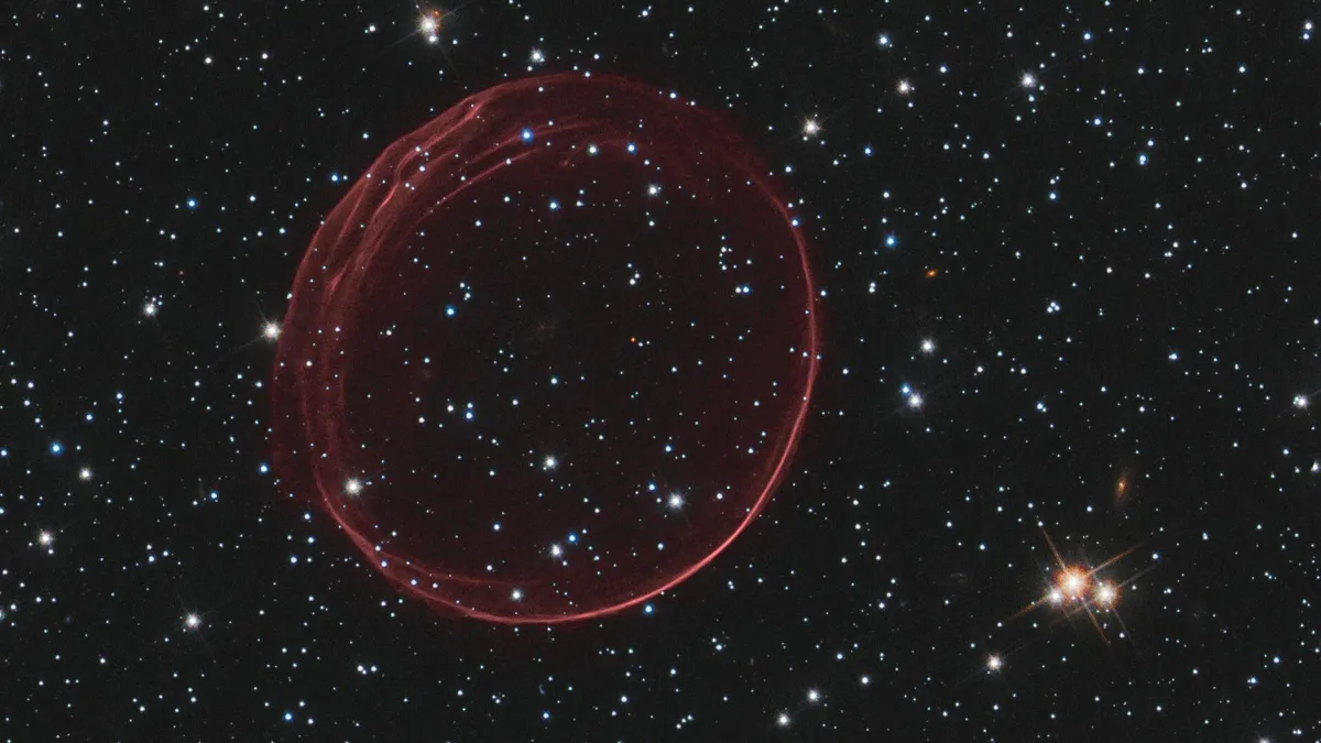
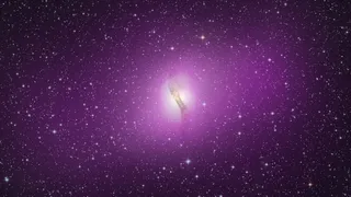
With the nature of the universe's two most elusive components up for debate, physicists have proposed a radical idea: Invisible particles called tachyons, which break causality and move faster than light, may dominate the cosmos.
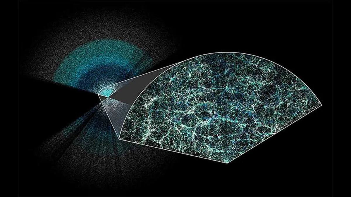
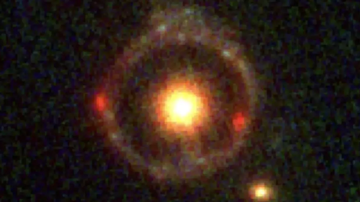
Scientists using the Dark Energy Spectroscopic Instrument have unveiled the largest 3D map of the universe ever. The results suggest that dark energy, the mysterious force pulling the universe apart, may be weakening, challenging prevailing theories of cosmology.

More than two decades ago, scientists predicted that at ultra-low temperatures, many atoms could undergo 'quantum superchemistry' and chemically react as one. They've finally shown it's real.

Boston Dynamics replaces its flagship humanoid robot after 10 years with a completely new machine that looks like the Pixar lamp with a mechanical humanoid body.