What's the Most Earthquake-prone State in the U.S.?
News
published

Alaska rocks, much more than the rest of the United States.
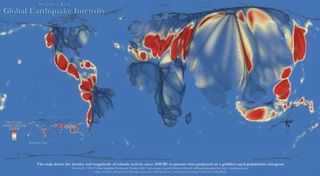
The northernmost state, which happens to straddle the border of two tectonic plates, gets hit with a magnitude 7 earthquake almost every year, and a magnitude 8 or greater earthquake on average every 14 years.
The U.S. Geological Survey estimates that over a 29-year span from 1974 to 2003, the “Last Frontier” experienced 12,053 earthquakes, accounting for over half of the nation’s earthquakes that register at least a 3.5 magnitude on the Richter scale.
Follow Life's Little Mysteries on Twitter @llmysteries. We're also on Facebook & Google+.
Sign up for the Live Science daily newsletter now
Get the world’s most fascinating discoveries delivered straight to your inbox.
For the science geek in everyone, Live Science offers a fascinating window into the natural and technological world, delivering comprehensive and compelling news and analysis on everything from dinosaur discoveries, archaeological finds and amazing animals to health, innovation and wearable technology. We aim to empower and inspire our readers with the tools needed to understand the world and appreciate its everyday awe.
Most Popular


