Irene's Rains Set Record River Levels in 10 States

Record-setting water levels in the swollen rivers in 10 states along the East Coast are yet another testament to Hurricane Irene's devastation.
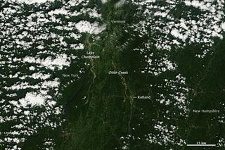
More than 80 U.S. Geological Survey (USGS) stream gauges measured record peaks in the aftermath of Hurricane Irene. Rivers in the Northeast set the bulk of the records, as higher than average precipitation the past few weeks had saturated the ground in many locations prior to Irene's arrival. States such as Vermont and New York have seen devastating flooding as a result of the rainwater glut.
While some rivers have already crested, or reached their highest levels, other rivers are still expected to rise further.
Immediately after the worst of the storm had passed, USGS hydrologists from North Carolina to Maine deployed to measure high-water marks at rivers and streams and to verify high river flows and peak stages. The crews also calibrated and repaired stream gauges damaged by the storm to ensure they continued to transmit information in real time to users working to protect lives and property.
To date, records have been set on rivers and streams in Connecticut, Delaware, Maine, Maryland, Massachusetts, New Hampshire, New Jersey, New York, Pennsylvania and Vermont.
The USGS, in cooperation with state and federal agencies, operates a nationwide network of more than 7,000 stream gauges on inland rivers and streams. Real-time information from these stream gauges are available online.
Where the records were set:
Sign up for the Live Science daily newsletter now
Get the world’s most fascinating discoveries delivered straight to your inbox.
- Delaware: Records were set on the St. Jones River and the Beaverdam Branch at Houston.
- Maine: The fastest flowing water was recorded on the border with New Hampshire, with at least one record peak flow on the Wild River.
- Maryland: Records were seen on the Choptank River, James Run and St. Clement Creek.
- Massachusetts: Records were seen at several stream gauges.
- New Hampshire, Vermont: record peaks were measured in the Merrimack, Connecticut, Hudson and St. Lawrence River basins.
- New Jersey: Numerous stream gauges have measured record peaks, with major flooding on the Passaic River.
- New York: Many stream gauges have measured record peaks.
- Pennsylvania: Several stream gauges measured record peaks.
- Virginia: The Blackwater River, near Franklin, was measured above flood stage.

