Hurricanes at Eye Level: Wind, waves and destruction
Uproar
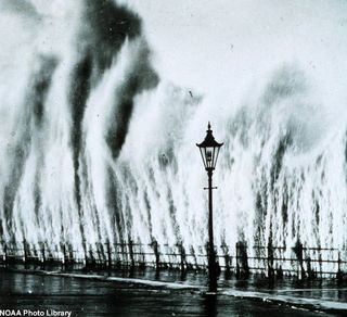
The Atlantic hurricane season runs June 1 to Nov. 30. ...Waves striking seawall give appearance of geysers erupting. Photo was taken in 1938 off of the New England coast.
Waves of Destruction
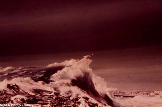
Sixteen feet of storm surge struck the Florida Panhandle during Hurricane Eloise. Photo was taken on September 23, 1975.
Close Encounter
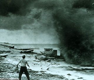
This historical image shows a startled man ready to run after hurricane driven wave smashes into seawall, just north of Miami Beach, Florida. Photo was taken in September 1947.
Safe from Storm Surge

Shown above is an artist's rendition of "safe" people in high-rise observing storm surge.
Windy City
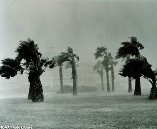
Flash flooding is severe in the town as a result of the mighty strong winds and heavy downpour of rain in the Corpus Christi, Texas area. Photo was taken on May 10, 1968.
America's Deadliest
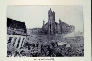
The unnamed Category-4 hurricane that slammed into Galveston, Texas between September 1-10, 1900 remains the deadliest ever to hit the United States, having killed upwards of 6,000 people (estimates vary) and leveling virtually the entire town.
High Above the Sea
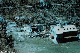
Amazing photo of the significant damage left behind by Hurricane Andrew. The photo shows what is left of the buildings on the Deering Estate Still - watermarks from storm surge measured at 16.5 feet high.
Sign up for the Live Science daily newsletter now
Get the world’s most fascinating discoveries delivered straight to your inbox.
In the Ground
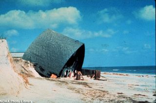
The photo shows the remains of a house built on a concrete slab. This home was destroyed, as a result of the damage inflicted by Hurricane Eloise, a Category 3 storm. Photo was taken in late September 1975 at the Florida Panhandle.
The Big Domino Effect
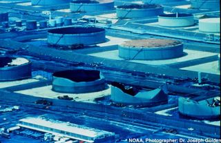
The oil tanks at Hess Oil Refinery on St. Croix Tanks collapsed because of wind pressure, as a result of Hurricane Hugo, which in effect caused an oil spill. Photo was taken in late September 1989.
Collapsed!
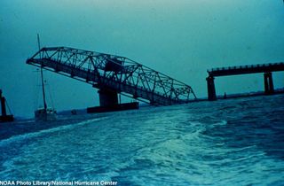
Ben Sawyer Bridge to Sullivans Island collapses after passage of Hurricane Hugo. Photo was taken in late September 1989.
Overpowered
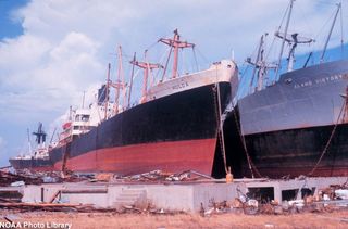
These large ships were no match for Hurricane Camille. Photo was taken on August 17, 1969 in Gulfport, Mississippi.
Most Popular

