Tornado Country
In it’s Beginning Stage
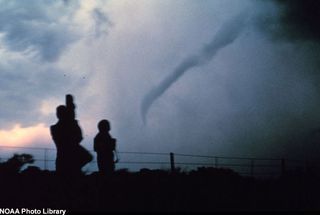
Roff OK, 2 May 1984, looking NW. Another "rope" tornado in its dissipating stage. The dense gray area behind the tornado is composed of shafts of heavy rain and hail. Diligent spotting of rain-wrapped mesocyclones is important, because their tornadoes are often very hard to visually distinguish from the precipitation itself. The Roff tornado produced F2 damage.
Gathering Strength
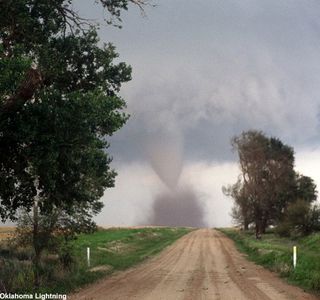
A tornado quickly builds strength as it is slated to touch the ground shortly.
In the Mix
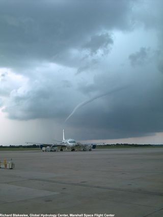
NASA's DC-8 research airplane sits on the tarmac of the Jacksonville Naval Air Station as a waterspout forms in the distance, the result of a severe line of thunderstorms, which developed along the eastern seabreeze front. Tornadoes over water waterspouts frequently are observed forming in the absence of convection or apparent strong surface temperature differences.
Making the Connection
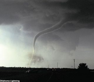
A powerful tornado makes its way on the land. Interestingly enough, “in order for a vortex to be classified as a tornado, it must be in contact with the ground and the cloud base.”
Wales Killer Tornado
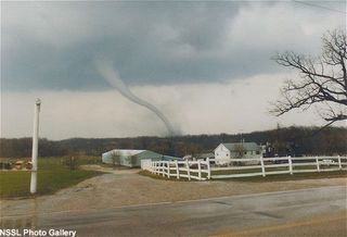
This tornado, rated F4, developed during the afternoon of April 27, 1984, killing one person, and injuring 14 in Waukesha County. The tornado was one of several in the state that developed ahead of a strong cold front.
On the Way to Union City
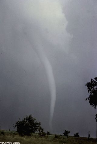
A long spiral tornado approaches Union City, OK.
Textbook Tornado
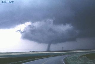
Alfalfa OK, 22 May 1981, looking NNW. A "textbook" tornado extending from the wall cloud of a classic supercell, with a "clear slot" cutting through the cloud base around the near side of the wall cloud. The slot represents part of the occlusion downdraft, an arc of sinking air believed to contribute to tornado development in many cases. The tornado did damage rated at F2.
Sign up for the Live Science daily newsletter now
Get the world’s most fascinating discoveries delivered straight to your inbox.
Sound Chase Project
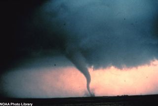
Tornado with dust and debris cloud forming at surface. The photo was captured during "Sound Chase", a joint project of NSSL and Mississippi State University.
Tornado Releases its Fury
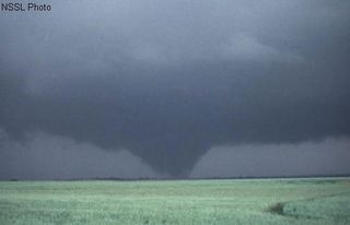
Mayfield OK, 16 May 1977, looking N. Large tornado, which produced F2 damage to homes, and also destroyed two trailers and a few barns. The white streak at upper left is a falling hailstone. This was part of one of the most active storm intercept weeks ever seen in Oklahoma and the Texas Panhandle -- the legendary "Seven Days of May" in 1977.
The Dimmitt Tornado
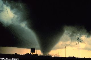
Tornado captured during NOAA Project Vortex. The photo was taken south of Dimmit, Texas, in June 1995.
On the Horizon
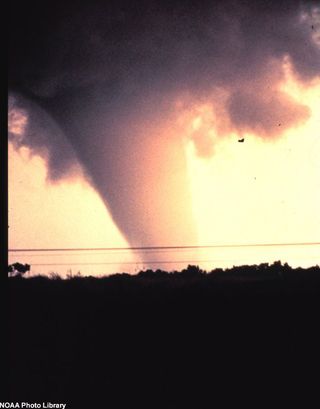
A large tornado builds up steam and storms straight forward.
